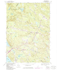
1969 Map of Candia
USGS Topo · Published 1985About this map
Bear Brook State Park dominates the northern landscape of this Rockingham County study, which highlights a rural New Hampshire environment defined by its numerous small ponds and granite-strewn hills. The map captures the transitional period of the late 1960s, showing the intersection of traditional crossroads settlements like Candia Four Corners and East Candia with mid-century developments such as a Landing Strip and Trailer Park. Evidence of earlier transport and industry remains visible, including a Railroad Grade cutting across the center and several Gravel Pits and a Mill site near Mt Pisgah. From the shores of Little Massabesic Lake to the heights of the Lookout Tower on Bear Hill, the map documents the area's mix of recreational land use and persistent small-town infrastructure like Holbrook Cem and various country roads.
Find a feature on this map
65 named features on this map. Tap any name to fly to it.
Don’t see what you’re looking for? This feature index may not catch every label — zoom into the map to look around manually.
Map Details
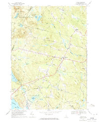
Editions of this 1969 Candia Map
2 editions found
Other maps of this area

1888 · Haverhill
USGS Topo · 1:62,500

1890 · Haverhill
USGS Topo · 1:62,500

1893 · Haverhill
USGS Topo · 1:62,500

1905 · Manchester
USGS Topo · 1:62,500

1917 · Mt. Pawtuckaway
USGS Topo · 1:62,500

1919 · Mt. Pawtuckaway
USGS Topo · 1:62,500

1921 · Suncook
USGS Topo · 1:62,500

1935 · Haverhill
USGS Topo · 1:62,500

1939 · Mt. Pawtuckaway
USGS Topo · 1:62,500

1941 · Manchester
USGS Topo · 1:62,500