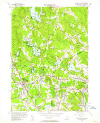
1955 Map of Ayers Village
USGS Topo · Published 1962About this map
Island Pond and its small islands, Governors Island and Escumbuit Island, anchor the northern landscape of this mid-century New Hampshire and Massachusetts borderland. The area is defined by a series of named corners and small settlements like Cowbell Corners, Wilson Corners, and Grosvenor Corner, indicating a local economy once rooted in agriculture and crossroads trade. The Boston and Maine Railroad cuts through the western section, serving Salem Depot and the nearby Rockingham Park racetrack, while the Arlington Mill Reservoir and Canobie Lake suggest the region's recreational and industrial water use. Numerous small schoolhouses, such as School No 1 and Woodbury Sch, are scattered across the terrain, reflecting the decentralized community structure before suburban consolidation. The survey also captures landmarks of local life, including the Mt Pleasant Cem and the Merrimack Valley Golf Club near the southern border.
Find a feature on this map
114 named features on this map. Tap any name to fly to it.
Don’t see what you’re looking for? This feature index may not catch every label — zoom into the map to look around manually.
Map Details
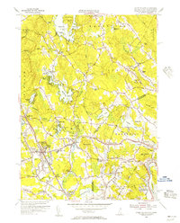
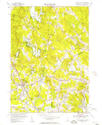
Editions of this 1955 Ayers Village Map
3 editions found
Other maps of this area

1886 · Lawrence
USGS Topo · 1:62,500

1886 · Lowell
USGS Topo · 1:62,500

1888 · Haverhill
USGS Topo · 1:62,500

1888 · Lawrence
USGS Topo · 1:62,500

1890 · Haverhill
USGS Topo · 1:62,500

1893 · Lowell
USGS Topo · 1:62,500

1893 · Lawrence
USGS Topo · 1:62,500

1893 · Haverhill
USGS Topo · 1:62,500

1905 · Manchester
USGS Topo · 1:62,500

1918 · Lowell
USGS Topo · 1:62,500