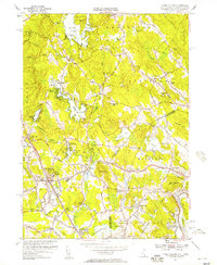
1955 Map of Ayers Village
USGS Topo · Published 1957About this map
Salem Depot and the surrounding borderlands of New Hampshire and Massachusetts reveal a mid-century landscape defined by its small villages and expanding residential corridors. The Boston and Maine railroad line anchors the development through Salem, connecting industrial and social centers like Millville and Ayers Village. Extensive water bodies such as the Arlington Mill Reservoir and Canobie Lake dictate the local geography, with the latter already established as a destination via Canobie Lake Park.
Find a feature on this map
94 named features on this map. Tap any name to fly to it.
Don’t see what you’re looking for? This feature index may not catch every label — zoom into the map to look around manually.
Map Details
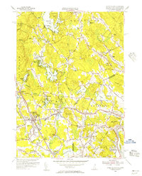
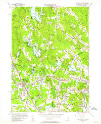
Editions of this 1955 Ayers Village Map
3 editions found
Other maps of this area

1886 · Lawrence
USGS Topo · 1:62,500

1886 · Lowell
USGS Topo · 1:62,500

1888 · Haverhill
USGS Topo · 1:62,500

1888 · Lawrence
USGS Topo · 1:62,500

1890 · Haverhill
USGS Topo · 1:62,500

1893 · Lowell
USGS Topo · 1:62,500

1893 · Lawrence
USGS Topo · 1:62,500

1893 · Haverhill
USGS Topo · 1:62,500

1905 · Manchester
USGS Topo · 1:62,500

1918 · Lowell
USGS Topo · 1:62,500