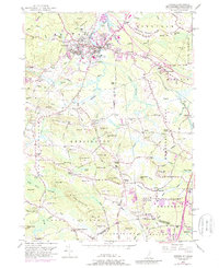
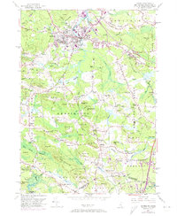
1950 Map of Exeter
USGS Topo · Published 1988About this map
Phillips Exeter Academy sits at the heart of the historic Exeter settlement, where the Squamscott River and Exeter River converge. The landscape is characterized by its numerous "Corners"—named rural crossroads such as Haynes Corner and Five Corners—which reflect the traditional New England town structure of Rockingham County. The southern portion of the map transitions into the salt marshes and tidal influence of The Cove and Hampton River, while inland, the terrain is dotted with distinctive drumlins and ridges like Moulton Ridge and Indian Ground Hill.
Find a feature on this map
127 named features on this map. Tap any name to fly to it.
Don’t see what you’re looking for? This feature index may not catch every label — zoom into the map to look around manually.
Map Details
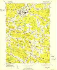
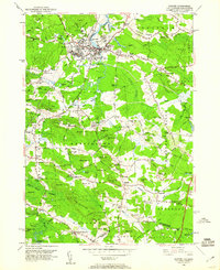
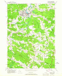
Editions of this 1950 Exeter Map
5 editions found
Other maps of this area

1888 · Newburyport
USGS Topo · 1:62,500

1888 · Haverhill
USGS Topo · 1:62,500

1890 · Haverhill
USGS Topo · 1:62,500

1890 · Newburyport
USGS Topo · 1:62,500

1893 · Dover
USGS Topo · 1:62,500

1893 · Haverhill
USGS Topo · 1:62,500

1894 · Newburyport
USGS Topo · 1:62,500

1916 · Dover
USGS Topo · 1:62,500

1917 · Mt. Pawtuckaway
USGS Topo · 1:62,500

1918 · Dover
USGS Topo · 1:62,500