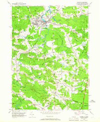
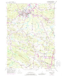
1950 Map of Exeter
USGS Topo · Published 1966About this map
Exeter serves as the focal point of this coastal New Hampshire interior, where the Squamscott River transitions into the Exeter River. The town's academic and civic core is anchored by Phillips Exeter Academy, while the surrounding landscape is defined by a dense network of family-named corners and hills. The tidal influence and riverine geography are evident at Powderhouse Point and Powells Point, sites that reflect the region's early maritime and industrial connections.
Find a feature on this map
121 named features on this map. Tap any name to fly to it.
Don’t see what you’re looking for? This feature index may not catch every label — zoom into the map to look around manually.
Map Details
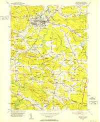
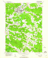
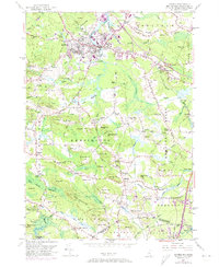
Editions of this 1950 Exeter Map
5 editions found
Other maps of this area

1888 · Newburyport
USGS Topo · 1:62,500

1888 · Haverhill
USGS Topo · 1:62,500

1890 · Haverhill
USGS Topo · 1:62,500

1890 · Newburyport
USGS Topo · 1:62,500

1893 · Dover
USGS Topo · 1:62,500

1893 · Haverhill
USGS Topo · 1:62,500

1894 · Newburyport
USGS Topo · 1:62,500

1916 · Dover
USGS Topo · 1:62,500

1917 · Mt. Pawtuckaway
USGS Topo · 1:62,500

1918 · Dover
USGS Topo · 1:62,500