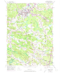
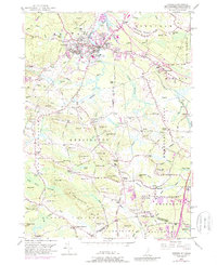
1950 Map of Exeter
USGS Topo · Published 1974About this map
Exeter serves as the academic and industrial anchor of this New Hampshire coastal plain landscape, dominated by the campus of Phillips Exeter Academy and the winding course of the Exeter River. The area reflects a classic New England settlement pattern, where clusters of homes and family-named crossroads like Haynes Corner and Fogg Corners are interspersed with significant glacial drumlins such as Moulton Ridge and Great Hill. Local industry is evidenced by sites like Collins Mill and several Gravel Pits, while the Boston and Maine railroad provides the vital transportation link through the center of town.
Find a feature on this map
144 named features on this map. Tap any name to fly to it.
Don’t see what you’re looking for? This feature index may not catch every label — zoom into the map to look around manually.
Map Details
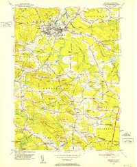
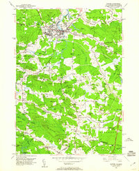
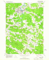
Editions of this 1950 Exeter Map
5 editions found
Other maps of this area

1888 · Newburyport
USGS Topo · 1:62,500

1888 · Haverhill
USGS Topo · 1:62,500

1890 · Haverhill
USGS Topo · 1:62,500

1890 · Newburyport
USGS Topo · 1:62,500

1893 · Dover
USGS Topo · 1:62,500

1893 · Haverhill
USGS Topo · 1:62,500

1894 · Newburyport
USGS Topo · 1:62,500

1916 · Dover
USGS Topo · 1:62,500

1917 · Mt. Pawtuckaway
USGS Topo · 1:62,500

1918 · Dover
USGS Topo · 1:62,500