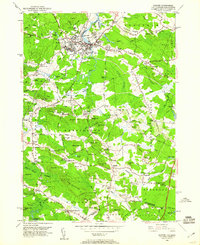
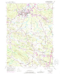
1950 Map of Exeter
USGS Topo · Published 1960About this map
The Squamscott River and its tidal reaches define the northern landscape of this mid-century New Hampshire survey, where the historic town of Exeter serves as a regional hub for rail and education. The campus of Phillips Exeter Academy occupies a significant footprint near the town center, while the Boston and Maine Railroad provides a critical transport artery through the countryside. This area is characterized by a high density of named crossroads and family-held corners, such as Haynes Corner and Prescott Corner, reflecting a long-established settlement pattern of small farms and local industry.
Find a feature on this map
150 named features on this map. Tap any name to fly to it.
Don’t see what you’re looking for? This feature index may not catch every label — zoom into the map to look around manually.
Map Details
Editions of this 1950 Exeter Map
5 editions found
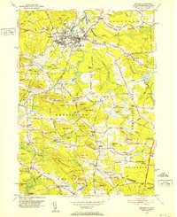
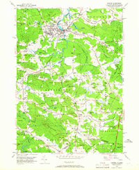
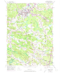
Other maps of this area

1888 · Newburyport
USGS Topo · 1:62,500

1888 · Haverhill
USGS Topo · 1:62,500

1890 · Haverhill
USGS Topo · 1:62,500

1890 · Newburyport
USGS Topo · 1:62,500

1893 · Dover
USGS Topo · 1:62,500

1893 · Haverhill
USGS Topo · 1:62,500

1894 · Newburyport
USGS Topo · 1:62,500

1916 · Dover
USGS Topo · 1:62,500

1917 · Mt. Pawtuckaway
USGS Topo · 1:62,500

1918 · Dover
USGS Topo · 1:62,500