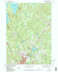
1968 Map of Derry
USGS Topo · Published 1985About this map
Derry and its surrounding villages of East Derry and Derry Village anchor this mid-century topographic survey, revealing a landscape transitioning from rural New Hampshire life to a more developed suburban pattern. The town’s history is reflected in institutions like Pinkerton Academy and the literary significance of the Robert Frost Farm in the southeast. Industrial remnants such as the Gravel Pit and the tracks of the Boston and Maine Railroad show the economic infrastructure that supported the region's growth near the banks of Beaver Brook.
Find a feature on this map
87 named features on this map. Tap any name to fly to it.
Don’t see what you’re looking for? This feature index may not catch every label — zoom into the map to look around manually.
Map Details
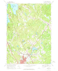
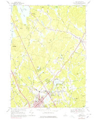
Editions of this 1968 Derry Map
3 editions found
Other maps of this area

1888 · Haverhill
USGS Topo · 1:62,500

1890 · Haverhill
USGS Topo · 1:62,500

1893 · Haverhill
USGS Topo · 1:62,500

1905 · Manchester
USGS Topo · 1:62,500

1917 · Mt. Pawtuckaway
USGS Topo · 1:62,500

1919 · Mt. Pawtuckaway
USGS Topo · 1:62,500

1921 · Suncook
USGS Topo · 1:62,500

1935 · Haverhill
USGS Topo · 1:62,500

1939 · Mt. Pawtuckaway
USGS Topo · 1:62,500

1941 · Manchester
USGS Topo · 1:62,500