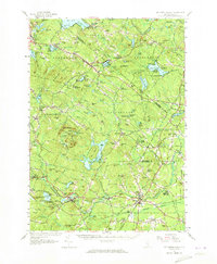
1957 Map of Mt. Pawtuckaway
USGS Topo · Published 1973About this map
The Pawtuckaway Mountains anchor this landscape, rising above a network of lakes and small agricultural hubs at the edge of the Strafford and Rockingham county lines. In the mid-20th century, the area maintained a distinct balance of conservation and rural industry, with the Pawtuckaway State Reservation and several state forests, including Smith State Forest and Woodman State Forest, preserving significant acreage. Settlements like Northwood Center, Deerfield Parade, and Nottingham Square reflect the region's early town-planning tradition, often centered on civic and religious structures like the Northwood Center Ch.
Find a feature on this map
122 named features on this map. Tap any name to fly to it.
Don’t see what you’re looking for? This feature index may not catch every label — zoom into the map to look around manually.
Map Details
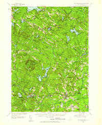
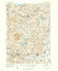
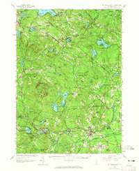
Editions of this 1957 Mt. Pawtuckaway Map
4 editions found
Other maps of this area

1888 · Newburyport
USGS Topo · 1:62,500

1888 · Haverhill
USGS Topo · 1:62,500

1890 · Haverhill
USGS Topo · 1:62,500

1890 · Newburyport
USGS Topo · 1:62,500

1891 · Berwick
USGS Topo · 1:62,500

1893 · Dover
USGS Topo · 1:62,500

1893 · Berwick
USGS Topo · 1:62,500

1893 · Haverhill
USGS Topo · 1:62,500

1894 · Newburyport
USGS Topo · 1:62,500

1905 · Manchester
USGS Topo · 1:62,500