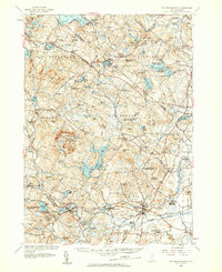
1957 Map of Mt. Pawtuckaway
USGS Topo · Published 1959About this map
Nottingham Square serves as a historic focal point in this landscape of southern New Hampshire, situated amidst a dense network of ponds and glacial hills. The 1957 culture revision highlights a region defined by its varied water bodies, from the sprawling Pawtuckaway Pond and Swains Lake to the smaller Mendums Pond and Wheelwright Pond. The presence of the Pawtuckaway State Reservation and Mt Pawtuckaway indicates a mid-century emphasis on conservation and recreation, complemented by several youth camps such as Camp Yavneh and Camp Speedwell.
Find a feature on this map
127 named features on this map. Tap any name to fly to it.
Don’t see what you’re looking for? This feature index may not catch every label — zoom into the map to look around manually.
Map Details
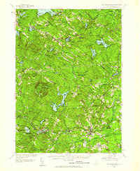
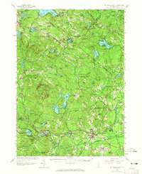
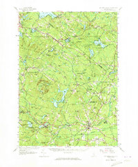
Editions of this 1957 Mt. Pawtuckaway Map
4 editions found
Other maps of this area

1888 · Newburyport
USGS Topo · 1:62,500

1888 · Haverhill
USGS Topo · 1:62,500

1890 · Haverhill
USGS Topo · 1:62,500

1890 · Newburyport
USGS Topo · 1:62,500

1891 · Berwick
USGS Topo · 1:62,500

1893 · Dover
USGS Topo · 1:62,500

1893 · Berwick
USGS Topo · 1:62,500

1893 · Haverhill
USGS Topo · 1:62,500

1894 · Newburyport
USGS Topo · 1:62,500

1905 · Manchester
USGS Topo · 1:62,500