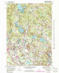
1968 Map of Salem Depot
USGS Topo · Published 1988About this map
Mystery Hill sits at the center of this New Hampshire landscape, a site of local intrigue surrounded by the expanding residential and recreational corridors of Rockingham County. In the late 1960s, the area displays a mix of historic lakeside clusters and mid-century suburban growth, particularly around the Arlington Mill Reservoir and the numerous small islands of Island Pond. The transportation network is anchored by the Boston and Maine railroad, which services the commerce of Salem Depot.
Find a feature on this map
93 named features on this map. Tap any name to fly to it.
Don’t see what you’re looking for? This feature index may not catch every label — zoom into the map to look around manually.
Map Details
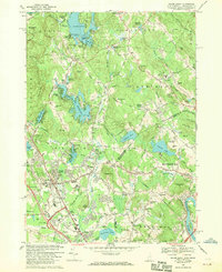
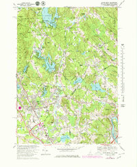
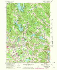
Editions of this 1968 Salem Depot Map
4 editions found
Other maps of this area

1886 · Lawrence
USGS Topo · 1:62,500

1886 · Lowell
USGS Topo · 1:62,500

1888 · Haverhill
USGS Topo · 1:62,500

1888 · Lawrence
USGS Topo · 1:62,500

1890 · Haverhill
USGS Topo · 1:62,500

1893 · Lowell
USGS Topo · 1:62,500

1893 · Lawrence
USGS Topo · 1:62,500

1893 · Haverhill
USGS Topo · 1:62,500

1905 · Manchester
USGS Topo · 1:62,500

1918 · Lowell
USGS Topo · 1:62,500