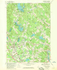
1968 Map of Salem Depot
USGS Topo · Published 1970About this map
Salem Depot and the surrounding borderlands of Rockingham County, New Hampshire, and Essex County, Massachusetts, appear here in a period of significant suburban expansion and recreation. The landscape is defined by its numerous glacial lakes and ponds, from the sprawling Arlington Mill Reservoir to Island Pond with its many named islands like Escumbuit Island. Notable recreational landmarks include the historic Rockingham Park and Canobie Lake Park, while the Northeastern Glider Port points to mid-century aviation interests. Local history is deeply embedded in the map's smaller settlements and crossroads like Cowbell Corners, Wilson Corners, and Cluffs Crossing. Educational institutions such as the venerable Atkinson Academy and Salem High Sch serve the growing population. The Boston and Maine Railroad corridors provide a industrial backbone, cutting through a terrain of drumlins and ridges like Mystery Hill and Spicket Hill.
Find a feature on this map
145 named features on this map. Tap any name to fly to it.
Don’t see what you’re looking for? This feature index may not catch every label — zoom into the map to look around manually.
Map Details
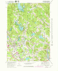
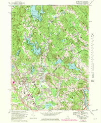
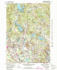
Editions of this 1968 Salem Depot Map
4 editions found
Other maps of this area

1886 · Lawrence
USGS Topo · 1:62,500

1886 · Lowell
USGS Topo · 1:62,500

1888 · Haverhill
USGS Topo · 1:62,500

1888 · Lawrence
USGS Topo · 1:62,500

1890 · Haverhill
USGS Topo · 1:62,500

1893 · Lowell
USGS Topo · 1:62,500

1893 · Lawrence
USGS Topo · 1:62,500

1893 · Haverhill
USGS Topo · 1:62,500

1905 · Manchester
USGS Topo · 1:62,500

1918 · Lowell
USGS Topo · 1:62,500