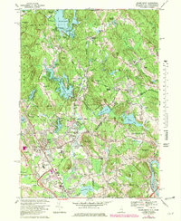
1968 Map of Salem Depot
USGS Topo · Published 1982About this map
Island Pond and the sprawling Arlington Mill Reservoir anchor this southern New Hampshire landscape during a period of significant suburban expansion. The infrastructure of Salem is well-defined, featuring the local hub of Salem Depot and the prominent Rockingham Park near the Massachusetts border. Local educational and social foundations are represented by the long-standing Atkinson Academy and the North Salem Sch, while the presence of Mystery Hill near North Salem provides a glimpse into the region's unique archaeological and cultural landmarks.
Find a feature on this map
87 named features on this map. Tap any name to fly to it.
Don’t see what you’re looking for? This feature index may not catch every label — zoom into the map to look around manually.
Map Details
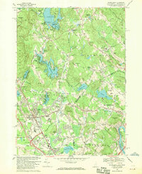
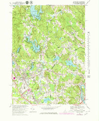
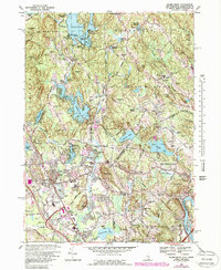
Editions of this 1968 Salem Depot Map
4 editions found
Other maps of this area

1886 · Lawrence
USGS Topo · 1:62,500

1886 · Lowell
USGS Topo · 1:62,500

1888 · Haverhill
USGS Topo · 1:62,500

1888 · Lawrence
USGS Topo · 1:62,500

1890 · Haverhill
USGS Topo · 1:62,500

1893 · Lowell
USGS Topo · 1:62,500

1893 · Lawrence
USGS Topo · 1:62,500

1893 · Haverhill
USGS Topo · 1:62,500

1905 · Manchester
USGS Topo · 1:62,500

1918 · Lowell
USGS Topo · 1:62,500