2010s Maps of Allegany County, Maryland
Explore 60 historic maps of Allegany County from the 2010s. These maps offer a rare glimpse into what life looked like during the 2010s — showing old roads, neighborhoods, homes, and landmarks that have changed or disappeared over time.
Whether you're researching your family's past, planning a metal detecting trip, or studying how Allegany County's landscape evolved across the 2010s, these high-resolution maps are a powerful tool for exploring the history of this region.
- Focus on a specific era: All maps on this page are from the 2010s, giving you a focused view of this time period.
- See what’s changed: Compare century-old streets, trails, and buildings to today's modern landscape using overlays and satellite layers.
- Research with precision: Use these maps for genealogy, historical research, land use analysis, or educational projects.
- View, download, or print: Maps are fully viewable online in high resolution, and can be downloaded or printed for your own records.
Start exploring Allegany County's history through authentic maps from the 2010s. This is your window into the past.
Allegany County, MD maps
(60)- 2011 Map of Keyser, 2011 Print
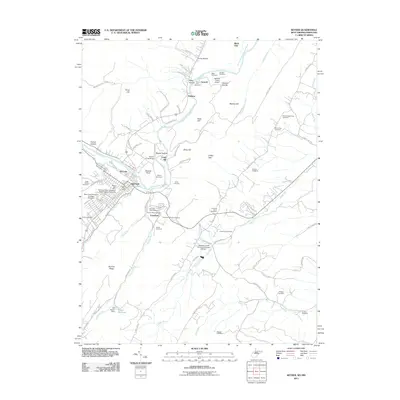 2011 Keyser2011 Print · USGSKeyser and the Potomac River valley are documented here in the early twenty-first century, showing the town's collegiate and industrial character. Genealogists can locate family landmarks like Mead Chapel Biser Cemetery, Gerstell Farms Airport, and the Poor Farm Cemetery.
 - 2011 Map of Lonaconing, 2011 Print
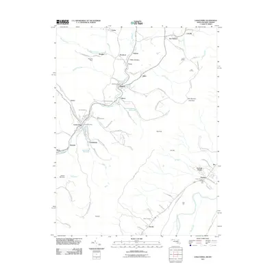 2011 Lonaconing2011 Print · USGSAllegany County's coal and mountain history is documented here in the early twenty-first century, showing the dense settlement corridor along Georges Creek. Genealogists can trace family sites from Saint Marys Cemetery to the Rawlings Post Office and Old Coney Cemetery.
 - 2011 Map of Evitts Creek, 2011 Print
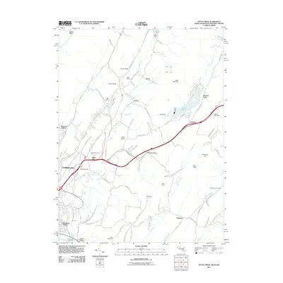 2011 Evitts Creek2011 Print · USGSCumberland and the surrounding ridges of the Maryland-Pennsylvania borderlands are shown here in the early twenty-first century. Researchers can trace family history through sites like Hillcrest Memorial Park, the Robinette Family Cemetery, and the historic Cumberland Aqueduct.
 - 2011 Map of Patterson Creek, 2011 Print
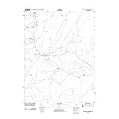 2011 Patterson Creek2011 Print · USGSThe Potomac River borderlands near Evitts Creek are captured here in the early twenty-first century. Genealogists and historians can trace local family landmarks and rural communities such as Mexico, Spring Gap, and the Methodist Cemetery.
 - 2011 Map of Cumberland, 2011 Print
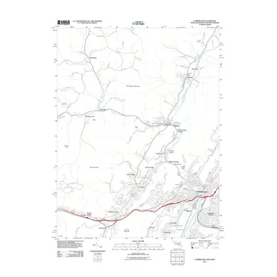 2011 Cumberland2011 Print · USGSCumberland and the Maryland-Pennsylvania borderlands appear here in the early twenty-first century, showcasing a landscape carved by river gaps and mountain ridges. Trace the region's infrastructure through Brush Tunnel, Maryland Junction, and historic sites like the Ellerslie Post Office.
 - 2011 Map of Bellegrove, 2011 Print
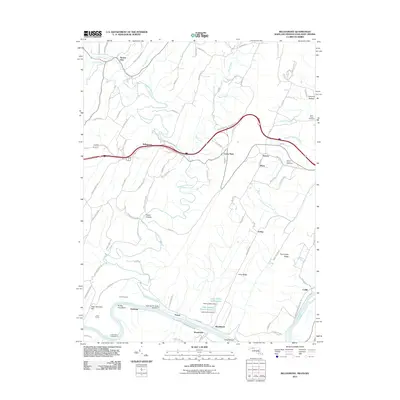 2011 Bellegrove2011 Print · USGSMaryland's river-and-rail corridor along the Potomac is captured here in the early twenty-first century. Researchers can trace historic family connections through Saint Pauls Cemetery and examine the engineering legacy of the Indigo Tunnel and Sideling Hill Creek Aqueduct.
 - 2011 Map of Oldtown, 2011 Print
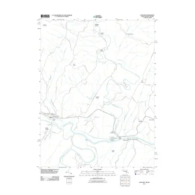 2011 Oldtown2011 Print · USGSThe Potomac River forks at the Maryland-West Virginia line in the early twenty-first century, revealing a landscape shaped by water and tradition. Genealogists can locate family names at Fifty-Four Cemetery and historic sites like the Town Creek Aqueduct.
 - 2011 Map of Frostburg, 2011 Print
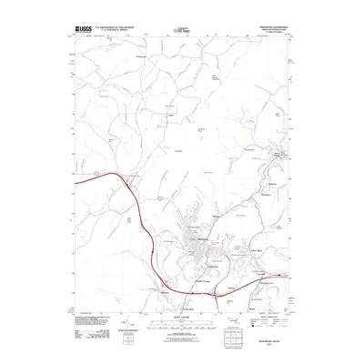 2011 Frostburg2011 Print · USGSMaryland's western highlands come to life in this 2011 survey of the coal and rail corridor near the Pennsylvania border. Researchers can trace the layout of mining towns like Eckhart Mines and Midlothian or locate family plots in Allegany Cemetery.
 - 2011 Map of Flintstone, 2011 Print
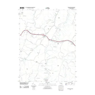 2011 Flintstone2011 Print · USGSMaryland's ridge-and-valley corridor is captured here in the early twenty-first century, centered on the historic National Pike. Researchers can trace old family burial grounds like Lashley Cemetery and Robinette Cemetery or locate the Flintstone Post Office.
 - 2011 Map of Cresaptown, 2011 Print
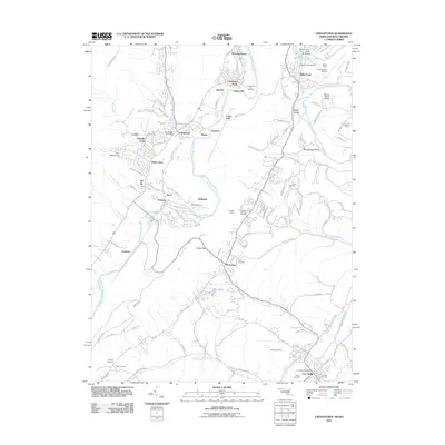 2011 Cresaptown2011 Print · USGSMaryland and West Virginia meet along the Potomac River in this 2010s survey of industrial and residential development. Genealogists can locate several local burial grounds including Lease Cemetery and Abe Cemetery, or trace the path of the B & O RR.
 - 2011 Map of Artemas, 2011 Print
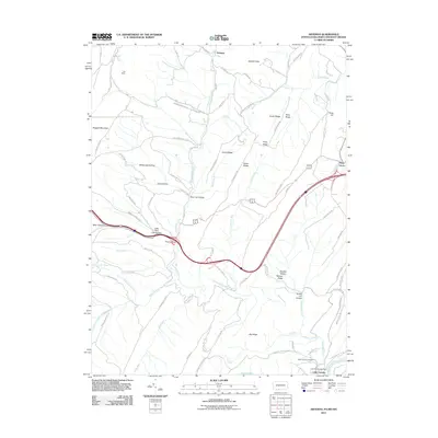 2011 Artemas2011 Print · USGSThe Potomac River border and the mountains of Allegany County are captured here just after the turn of the twenty-first century. Genealogists and hikers can trace landmarks like Saint Patricks Cemetery, the Little Orleans Post Office, and Artemas.
 - 2011 Map of Great Cacapon, 2011 Print
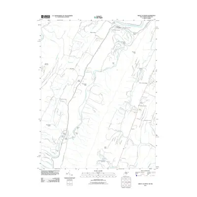 2011 Great Cacapon2011 Print · USGSThe confluence of the Cacapon and Potomac Rivers was a busy transit corridor in the early twenty-first century. Researchers can find generational landmarks like Mount Nebo Cemetery and the Chesapeake and Ohio Canal near the village of Great Cacapon.
 - 2011 Map of Paw Paw, 2011 Print
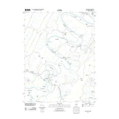 2011 Paw Paw2011 Print · USGSThe Potomac River’s tight loops and the town of Paw Paw define this West Virginia-Maryland borderland in the early twenty-first century. Researchers can trace historic transit engineering through the Paw Paw Tunnel and locate family burial grounds like Bevans Cemetery and Rine Cemetery.
 - 2011 Map of Barton, 2011 Print
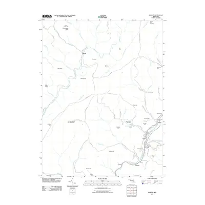 2011 Barton2011 Print · USGSBarton and the Georges Creek valley are documented here during the early twenty-first century, showing the enduring layout of Maryland's coal country. Genealogists can locate family sites at Saint Gabriels Cemetery, Moscow Mills Cemetery, and the Nikep Post Office.
 - 2011 Map of Westernport, 2011 Print
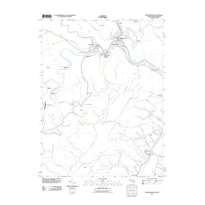 2011 Westernport2011 Print · USGSThe Potomac Highlands' industrial heart is on display in this survey of the Tri-Towns region during the early twenty-first century. Researchers can trace family sites like Thomas Family Cemetery or explore the rail hubs at West Virginia Central Junction and Piedmont.
 - 2013 Map of Artemas, 2013 Print
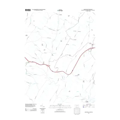 2013 Artemas2013 Print · USGSMaryland's panhandle and the surrounding borderlands appear in detail in this modern survey. Researchers can trace family names and natural landmarks through Kifer Hollow, Pratt Hollow, and the mineral waters of White Sulphur Spring.
 - 2014 Map of Paw Paw, 2014 Print
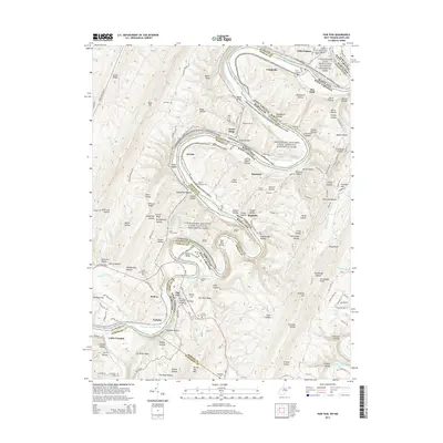 2014 Paw Paw2014 Print · USGSThe dramatic oxbows of the Potomac River define this borderland during the early twenty-first century. Genealogists and historians can trace the engineering of the Chesapeake and Ohio Canal, finding landmarks like the Paw Paw Tunnel and Woodrow Cem.
 - 2014 Map of Keyser, 2014 Print
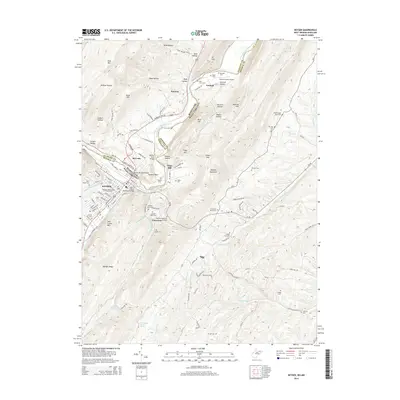 2014 Keyser2014 Print · USGSAcross the Potomac riverfront in the mid-2010s, Keyser and McCoole are linked by the B & O RR and a network of historic bridges. Researchers can trace family roots through numerous small burial sites like Poor Farm Cem or locate the campus of Potomac State College.
 - 2014 Map of Great Cacapon, 2014 Print
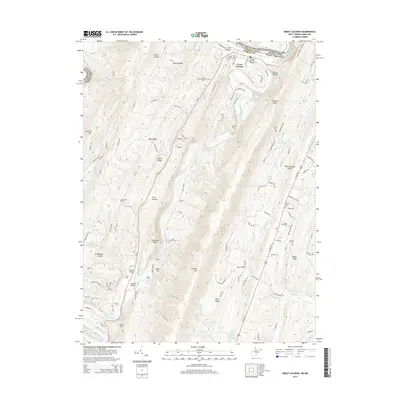 2014 Great Cacapon2014 Print · USGSMorgan County, West Virginia, is shown here in the early twenty-first century as the Cacapon River cuts through the high ridges of the Appalachians. Genealogists and local historians can trace family locations through numerous rural burial sites like Mt Nebo Cem and Miller Cem or locate river crossings at Ziler Ford and Harland Ford.
 - 2014 Map of Patterson Creek, 2014 Print
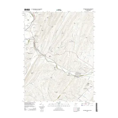 2014 Patterson Creek2014 Print · USGSThe Potomac River valley on the Maryland and West Virginia border is shown here in the early twenty-first century. Genealogists and researchers can trace family landmarks like Hardy Cem, Saint Marys Cem, and the old rail corridor of the CSX.
 - 2014 Map of Barton, 2014 Print
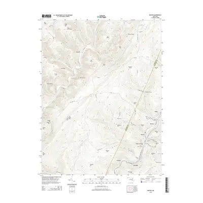 2014 Barton2014 Print · USGSMaryland's high ridges and creek-side settlements are detailed in this recent survey of the Allegany and Garrett county border. Genealogists and local historians can trace family locations through Saint Gabriels Cem and Morrison Cem, or locate the historic mining-town sites of Nikep and Moscow.
 - 2014 Map of Lonaconing, 2014 Print
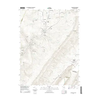 2014 Lonaconing2014 Print · USGSThe Georges Creek Valley is shown here in the early 2010s, capturing the dense string of mining-era settlements from Lonaconing to Carlos. Researchers can trace local heritage through numerous cemeteries like Saint Marys Cem, Oak Hill Cem, and Cresap Cem.
 - 2014 Map of Westernport, 2014 Print
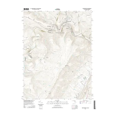 2014 Westernport2014 Print · USGSThe Potomac River valley comes alive in this 2014 study of the Maryland-West Virginia border, showing the industrial core of Westernport and Piedmont. Family historians can locate numerous small burial sites like Warnick Cem and Cross Cem near the banks of Jennings Randolph Lake.
 - 2014 Map of Frostburg, 2014 Print
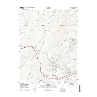 2014 Frostburg2014 Print · USGSFrostburg and the surrounding coal-patch towns of Allegany County are shown here in the early twenty-first century. Researchers can trace the enduring footprints of industry and travel at Eckhart Mines, Borden Shaft, and the Clarysville Bridge.
 - 2014 Map of Cumberland, 2014 Print
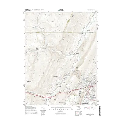 2014 Cumberland2014 Print · USGSCumberland and the Potomac River valley are captured here at the busy intersection of Maryland, Pennsylvania, and West Virginia. Researchers can trace historic transit and burial sites, from the C&O Canal Nat Hist Site to Rose Hill Cem and the Brush Tunnel.
Showing maps 1-25 of 60
Top cities of Allegany County
- Cumberland historical maps
- Frostburg historical maps
- La Vale historical maps
- Westernport historical maps
- Bel Air historical maps
- Lonaconing historical maps
See more
Frequently asked questions
- What are the different types of historical maps available for Allegany County?
- What is the oldest map of Allegany County?
- Where can I purchase historical maps of Allegany County for my home or office?
- Where can I download high-res historical maps of Allegany County?
- Are there historical topographic maps available for Allegany County?
- Is there historical aerial imagery available for Allegany County?
- Where are historical maps of Allegany County sourced from?