2000s (21st Century) Maps of Annapolis, Maryland
Explore 20 historic maps of Annapolis from the 2000s (21st Century). These maps offer a rare glimpse into what life looked like during the 2000s — showing old roads, neighborhoods, homes, and landmarks that have changed or disappeared over time.
Whether you're researching your family's past, planning a metal detecting trip, or studying how Annapolis's landscape evolved across the 2000s, these high-resolution maps are a powerful tool for exploring the history of this region.
- Focus on a specific era: All maps on this page are from the 2000s, giving you a focused view of this time period.
- See what’s changed: Compare century-old streets, trails, and buildings to today's modern landscape using overlays and satellite layers.
- Research with precision: Use these maps for genealogy, historical research, land use analysis, or educational projects.
- View, download, or print: Maps are fully viewable online in high resolution, and can be downloaded or printed for your own records.
Start exploring Annapolis's history through authentic maps from the 2000s. This is your window into the past.
Annapolis, MD maps
(20)- 2011 Map of South River, 2011 Print
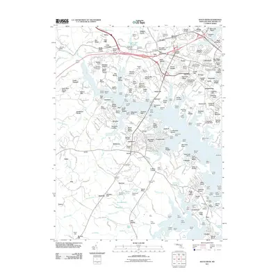 2011 South River2011 Print · USGSCovers Annapolis, including Edgewater, Mayo, and other nearby areas
 - 2011 Map of Gibson Island, 2011 Print
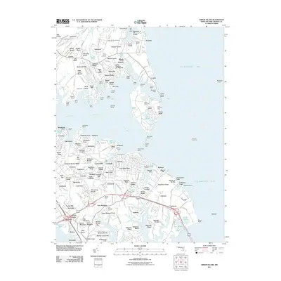 2011 Gibson Island2011 Print · USGSCovers Annapolis, including Cape Saint Claire, Sturbridge, and other nearby areas
 - 2011 Map of Round Bay, 2011 Print
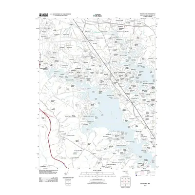 2011 Round Bay2011 Print · USGSCovers Annapolis, including Severna Park, Arnold, and other nearby areas
 - 2011 Map of Annapolis, 2011 Print
 2011 Annapolis2011 Print · USGSCovers Annapolis, including Naval Academy, Highland Beach, and other nearby areas
 - 2014 Map of Gibson Island, 2014 Print
 2014 Gibson Island2014 Print · USGSCovers Annapolis, including Cape Saint Claire, Sturbridge, and other nearby areas
 - 2014 Map of Round Bay, 2014 Print
 2014 Round Bay2014 Print · USGSCovers Annapolis, including Severna Park, Arnold, and other nearby areas
 - 2014 Map of Annapolis, 2014 Print
 2014 Annapolis2014 Print · USGSCovers Annapolis, including Naval Academy, Highland Beach, and other nearby areas
 - 2014 Map of South River, 2014 Print
 2014 South River2014 Print · USGSCovers Annapolis, including Edgewater, Mayo, and other nearby areas
 - 2016 Map of Round Bay, 2016 Print
 2016 Round Bay2016 Print · USGSCovers Annapolis, including Severna Park, Arnold, and other nearby areas
 - 2016 Map of Annapolis, 2016 Print
 2016 Annapolis2016 Print · USGSCovers Annapolis, including Naval Academy, Highland Beach, and other nearby areas
 - 2016 Map of South River, 2016 Print
 2016 South River2016 Print · USGSCovers Annapolis, including Edgewater, Mayo, and other nearby areas
 - 2017 Map of Gibson Island, 2017 Print
 2017 Gibson Island2017 Print · USGSCovers Annapolis, including Cape Saint Claire, Sturbridge, and other nearby areas
 - 2019 Map of Annapolis, 2019 Print
 2019 Annapolis2019 Print · USGSCovers Annapolis, including Naval Academy, Highland Beach, and other nearby areas
 - 2019 Map of South River, 2019 Print
 2019 South River2019 Print · USGSCovers Annapolis, including Edgewater, Mayo, and other nearby areas
 - 2019 Map of Gibson Island, 2019 Print
 2019 Gibson Island2019 Print · USGSCovers Annapolis, including Cape Saint Claire, Sturbridge, and other nearby areas
 - 2019 Map of Round Bay, 2019 Print
 2019 Round Bay2019 Print · USGSCovers Annapolis, including Severna Park, Arnold, and other nearby areas
 - 2023 Map of Annapolis, 2023 Print
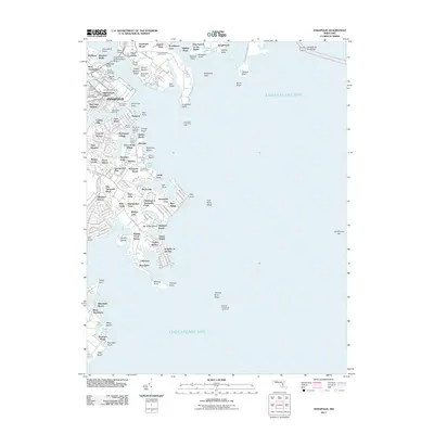
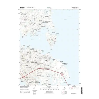
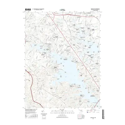
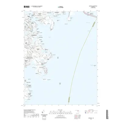
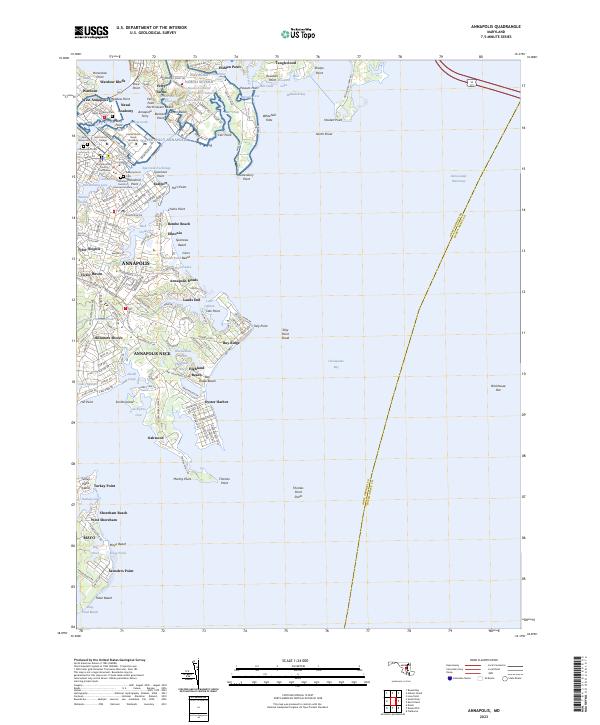 2023 Annapolis2023 Print · USGSThe capital of Maryland and its surrounding neck of land are shown here as they appear in the early 2020s, showing a landscape defined by maritime history and bayfront development. Trace the grounds of the Naval Academy, explore historic Eastport, or locate family sites at Saint Annes Cem and Cedar Bluff Cem.
 - 2023 Map of Gibson Island, 2023 Print
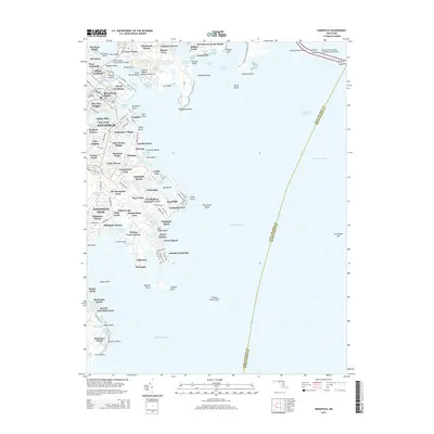
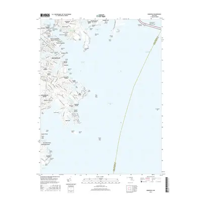
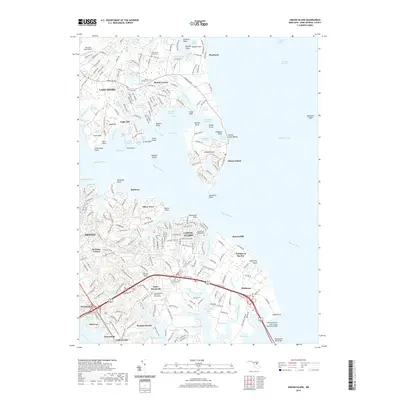
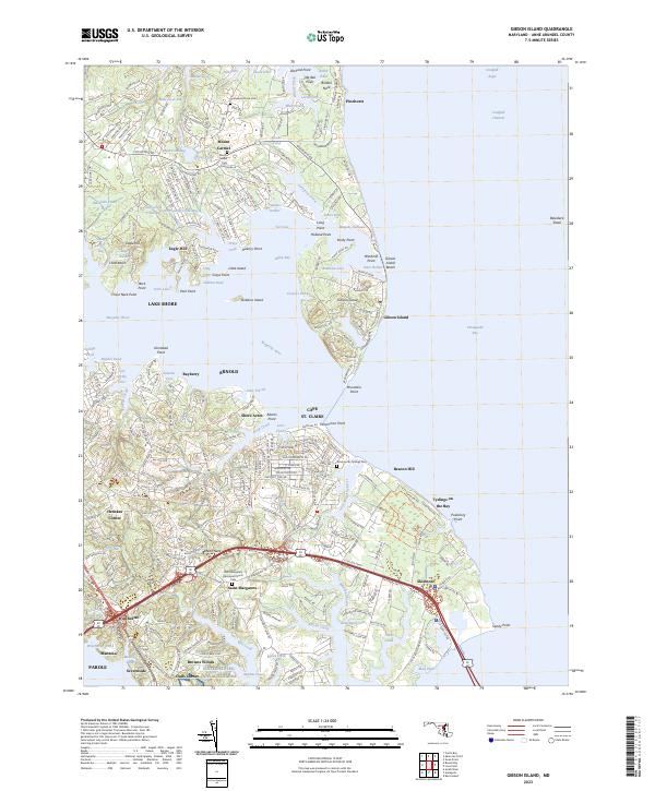 2023 Gibson Island2023 Print · USGSCoastal Anne Arundel County comes into focus in this contemporary survey of the Magothy River and Chesapeake Bay. Local historians can trace established neighborhoods and family-named sites from Gibson Island to the historic Saint Margarets Episcopal Church.
 - 2023 Map of Round Bay, 2023 Print
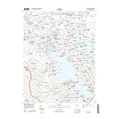
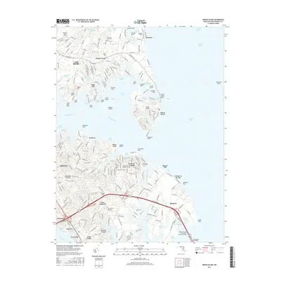
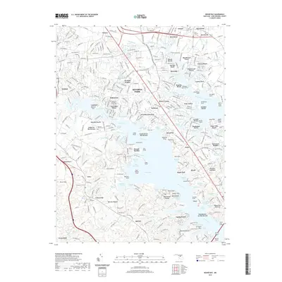
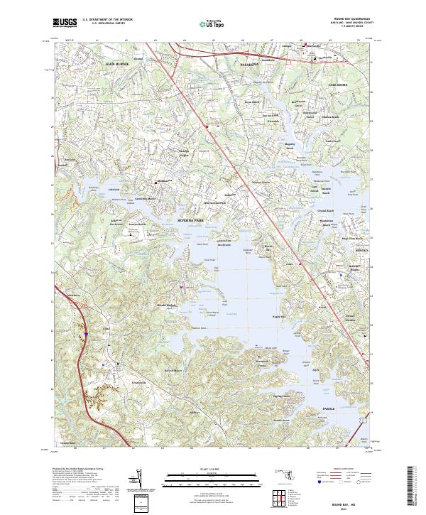 2023 Round Bay2023 Print · USGSCoastal Anne Arundel County comes alive in this survey of the tidal inlets and growing suburbs during the early twenty-first century. Genealogists and local historians can trace family-named sites and landmarks from Mount Zion Cem to the waterfront reaches of Arden on the Severn and Saint Helena Island.
 - 2023 Map of South River, 2023 Print
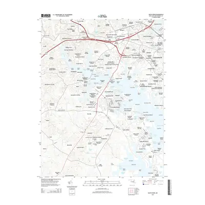
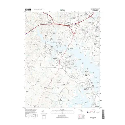
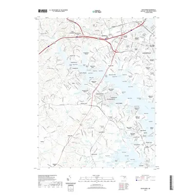
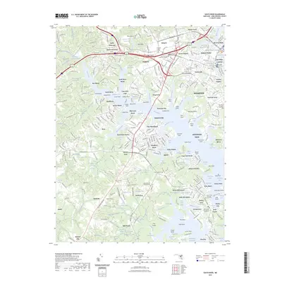 2023 South River2023 Print · USGSAnne Arundel County's riverside communities and maritime heritage are showcased in this recent survey. Genealogists can trace family records through sites like Annapolis Hebrew Cem and All Hallows Cem or explore the waterfront at Mayo Point.
End of results
Showing maps 1-20 of 20
Top cities near Annapolis
- Glen Burnie historical maps
- Bowie historical maps
- Odenton historical maps
- Severna Park historical maps
- Crofton historical maps
- Pasadena historical maps
See more
Top neighborhoods of Annapolis
- Mariners Point historical maps
- Wilshire historical maps
- Victor Haven historical maps
- Georgetown East historical maps
- Captains Walk historical maps
- Thurgood Marshall Memorial Plaza historical maps
See more
Frequently asked questions
- What are the different types of historical maps available for Annapolis?
- What is the oldest map of Annapolis?
- Where can I purchase historical maps of Annapolis for my home or office?
- Where can I download high-res historical maps of Annapolis?
- Are there historical topographic maps available for Annapolis?
- Is there historical aerial imagery available for Annapolis?
- Where are historical maps of Annapolis sourced from?