Old Maps of Annapolis, Maryland for Academic Research
Study the evolution of Annapolis with 62 high-resolution historic maps. Whether you're teaching, researching, or modeling changes in land use, these maps provide essential visual documentation of urban, environmental, and geographic change.
- Analyze long-term change: Track patterns in development, transportation, and natural features.
- Ideal for environmental or urban studies: Support academic projects with primary historical map data.
- Use in the classroom or lab: Educators and researchers rely on these maps to bring historical context to life.
These maps are a powerful tool for teaching, research, and visualizing how Annapolis has changed over the decades.
Annapolis, MD maps
(62)- 1892 Map of Owensville
 1892 Owensville1892 Print · USGSCoastal Anne Arundel County comes alive in the 1890s, showing a world of tidewater landings and proposed rail lines. Trace old property locations near Obligation (Butler Tav.) or the early waterfront hubs of West River (Galesville) and Tracy Landing.
 - 1892 Map of Annapolis
 1892 Annapolis1892 Print · USGSMaryland's capital and the surrounding Chesapeake Bay shores appear here during the late Victorian era, before modern bridges linked the coastlines. Genealogists can trace early homesteads and rail lines in Annapolis or explore eastern shore landings like Claiborne and Kent Island.2 unique versions available
 - 1893 Map of North Point
 1893 North Point1893 Print · USGSMaryland's maritime heart is captured here in the late nineteenth century, showing the industrial rise of Steelton and the rural reaches of Anne Arundel. Researchers can trace old landings and light stations like Wilson Wharf, Sandy Pt. Light, and the settlement at Jacob Store.3 unique versions available
 - 1894 Map of Relay
 1894 Relay1894 Print · USGSAnne Arundel and Howard counties are shown in the late nineteenth century as the regional rail network reached its peak. Genealogists and historians can trace the early footprints of Glen Burnie, identify old landings like Whitneys Ld., and locate the St. Helena church.4 unique versions available
 - 1895 Map of Owensville
 1895 Owensville1895 Print · USGSCoastal Anne Arundel County comes alive in this late nineteenth-century survey, from the winding Patuxent River to the shores of Herring Bay. Genealogists and local historians can trace the route of the Proposed Drum Point Railroad and find long-standing settlements like Obligation (Butler Tav.) and West River (Galesville).2 unique versions available
 - 1898 Map of Choptank
 1898 Choptank1898 Print · USGSThe Maryland Eastern Shore and its intricate Chesapeake coastline are documented here in the late 1890s. Genealogists can trace family roots in Annapolis or Easton, while maritime historians can locate historic landings such as Corners Wharf and Wye Landing.2 unique versions available
 - 1898 Map of Tolchester
 1898 Tolchester1898 Print · USGSThe upper Chesapeake Bay and its tidal tributaries are shown in the late 1890s, when steamships and railroads still dominated regional commerce. Trace the landings and rail stops that fueled the bay economy, from Buck Neck Landing to Stillpond Sta. and the historic Harford Furnace.
 - 1899 Map of Patuxent
 1899 Patuxent1899 Print · USGSSouthern Maryland in the late nineteenth century was a world of river wharves and emerging rail lines. Genealogists can trace family names across landings and settlements like Bladensburg, Upper Marlboro, and Piscataway Reform School before the landscape was modernised.3 unique versions available
 - 1903 Map of Tolchester
 1903 Tolchester1903 Print · USGSThe upper Chesapeake Bay at the turn of the century shows a bustling maritime landscape where steamship wharves and major rail lines met. Researchers can trace defunct stops like Baldwin Sta. and Clayton Sta. or locate historic landings such as Rockhall Landing and Quaker Wharf.
 - 1904 Map of North Point
 1904 North Point1904 Print · USGSChesapeake Bay maritime life at the turn of the century is captured here, from industrial waterfronts to rural landings. Genealogists can trace family landmarks and ferry points like Love Point Landing, Sparrow Point, and Skidmore.5 unique versions available
 - 1904 Map of Annapolis
 1904 Annapolis1904 Print · USGSMaryland's capital and the Eastern Shore are captured in detail just after the turn of the century. Genealogists and maritime historians can trace property near Annapolis, the grounds of the U. S. Naval Academy, and remote settlements like Stevensville on Kent Island.5 unique versions available
 - 1905 Map of Owensville
 1905 Owensville1905 Print · USGSCoastal Maryland in the early twentieth century was a landscape of tide-water wharves and rural post offices. Genealogists can trace family connections through sites like Owensville West River PO, Hartges Wharf, and Mitchellville PO.5 unique versions available
 - 1906 Map of Patuxent
 1906 Patuxent1906 Print · USGSThe Tidewater region of Maryland and the outskirts of the District of Columbia are shown here at the turn of the century. Researchers can trace the early footprints of Maryland Agril. College, find riverfront infrastructure at Milltown Landing, and follow long-established routes like the Marlboro Turnpike.4 unique versions available
 - 1907 Map of Relay
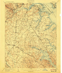 1907 Relay1907 Print · USGSAnne Arundel County and the Patapsco waterfront are shown here in the early nineteen-hundreds, as industry and maritime trade reshaped the Maryland coast. Genealogists and historians can trace rail lines and early settlements like Relay and Elkridge, or locate landmarks such as Fort Carroll and St. Stephens Church.8 unique versions available
 - 1908 Map of Patapsco
 1908 Patapsco1908 Print · USGSMaryland's central corridor at the opening of the twentieth century reveals a dense network of harbor defenses and rail-line economies. Genealogists and historians can trace the foundations of Baltimore alongside local landmarks like Ashland Furnace, St Charles College, and Fort McHenry.4 unique versions available
 - 1908 Map of Tolchester
 1908 Tolchester1908 Print · USGSChesapeake Bay life at the turn of the century centered on a complex network of tidewater landings and strategic railroad lines. Researchers can trace historic family settlements and maritime landmarks like Fort Howard, Harford Furnace, and the Sevenfoot Knoll LH.4 unique versions available
 - 1908 Map of Choptank
 1908 Choptank1908 Print · USGSMaryland's Eastern Shore and the Chesapeake Bay are captured here at the start of the twentieth century, showing a world of steamships and rail. Genealogists can trace family names at St Michaels, Oxford, and waterfront landings like Claiborne or Arundel on the Bay.5 unique versions available
 - 1943 Map of North Point
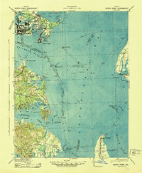 1943 North Point1943 Print · USGSThe Chesapeake Bay's maritime approaches are captured here during the 1940s, highlighting the industrial strength of Sparrows Point and the coastal defenses at Fort Howard. Researchers can trace the rail connections at Love Point Landing or explore the mid-century waterfronts of Gibson Island and Bay Shore.
 - 1944 Map of Annapolis
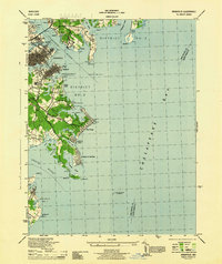 1944 Annapolis1944 Print · USGSCoastal Maryland at the height of the war years reveals a landscape defined by naval expansion and developing bayside communities. Researchers can trace the mid-century footprints of Highland Beach, the U S Naval Academy, and the historic Thomas Point Shoal Lighthouse.
 - 1944 Map of Gibson Island
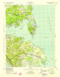 1944 Gibson Island1944 Print · USGSThe Anne Arundel County coastline during the 1940s reveals a maritime landscape shaped by ferry travel and bay-side settlements. Genealogists and local historians can trace family locations near St Margarets, explore the grounds of Manresa, or locate the Sandy Point Ferry Terminal.
 - 1944 Map of South River
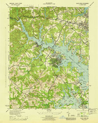 1944 South River1944 Print · USGSAnne Arundel County waterfront communities were rapidly developing during the war years as suburban growth met the Chesapeake shoreline. Researchers can trace historic local sites like All Hallows Church, the Annapolis Waterworks, and the grounds of the old Almshouse.
 - 1944 Map of Round Bay
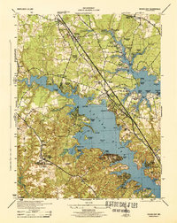 1944 Round Bay1944 Print · USGSMid-century Anne Arundel County shows a landscape of burgeoning waterfront communities and historic estates along the Severn and Magothy Rivers. Genealogists and researchers can trace local family landmarks and institutional sites like Crownsville State Hospital, Belvoir Manor, and the Baltimore and Annapolis RR.
 - 1947 Map of Relay, 1954 Print
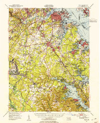 1947 Relay1954 Print · USGSMid-century Anne Arundel County is caught between its rail-and-river heritage and the rise of the jet age. Genealogists and local historians can trace the footprint of the Baltimore Friendship International Airport or locate family plots in Cedar Hill Cem and Arundel Cem.2 unique versions available
 - 1947 Map of North Point, 1955 Print
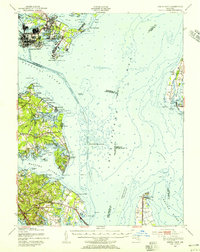 1947 North Point1955 Print · USGSCoastal Maryland at the close of the 1940s reveals a sharp contrast between the industrial might of Sparrows Point and the quiet summer communities of the western shore. Trace maritime history through dredging records and landmarks like Fort Howard, Gibson Island, and Sevenfoot Knoll Light.
 - 1948 Map of Baltimore
 1948 Baltimore1948 Print · USGSMaryland and Pennsylvania crossroads are captured in the late 1940s, showing a landscape defined by historic rail lines and major military installations. Genealogists can trace family connections in Gettysburg, Westminster, and near the U.S. Naval Academy in Annapolis.2 unique versions available
Showing maps 1-25 of 62
Top cities near Annapolis
- Glen Burnie historical maps
- Bowie historical maps
- Odenton historical maps
- Severna Park historical maps
- Crofton historical maps
- Pasadena historical maps
See more
Top neighborhoods of Annapolis
- Mariners Point historical maps
- Wilshire historical maps
- Victor Haven historical maps
- Georgetown East historical maps
- Captains Walk historical maps
- Thurgood Marshall Memorial Plaza historical maps
See more
Frequently asked questions
- What are the different types of historical maps available for Annapolis?
- What is the oldest map of Annapolis?
- Where can I purchase historical maps of Annapolis for my home or office?
- Where can I download high-res historical maps of Annapolis?
- Are there historical topographic maps available for Annapolis?
- Is there historical aerial imagery available for Annapolis?
- Where are historical maps of Annapolis sourced from?