2000s (21st Century) Maps of Charles County, Maryland
Explore 115 historic maps of Charles County from the 2000s (21st Century). These maps offer a rare glimpse into what life looked like during the 2000s — showing old roads, neighborhoods, homes, and landmarks that have changed or disappeared over time.
Whether you're researching your family's past, planning a metal detecting trip, or studying how Charles County's landscape evolved across the 2000s, these high-resolution maps are a powerful tool for exploring the history of this region.
- Focus on a specific era: All maps on this page are from the 2000s, giving you a focused view of this time period.
- See what’s changed: Compare century-old streets, trails, and buildings to today's modern landscape using overlays and satellite layers.
- Research with precision: Use these maps for genealogy, historical research, land use analysis, or educational projects.
- View, download, or print: Maps are fully viewable online in high resolution, and can be downloaded or printed for your own records.
Start exploring Charles County's history through authentic maps from the 2000s. This is your window into the past.
Charles County, MD maps
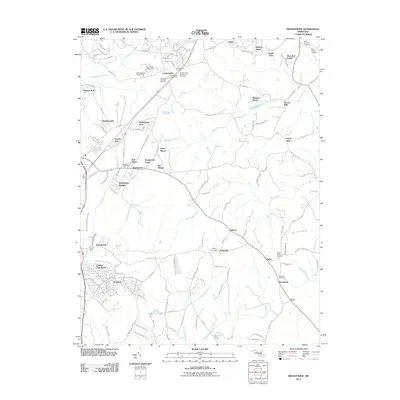
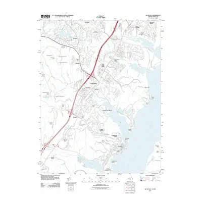
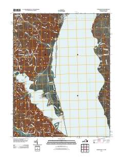
(115)- 2011 Map of Piscataway, 2011 Print
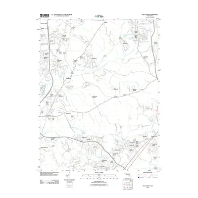 2011 Piscataway2011 Print · USGSCovers Charles County, including Waldorf, Fort Washington, and other nearby areas
 - 2011 Map of La Plata, 2011 Print
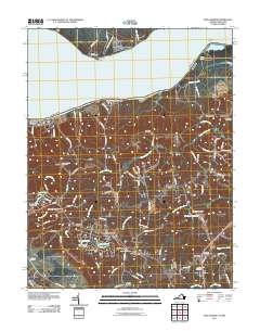
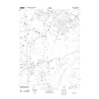 2011 La Plata2011 Print · USGSCovers Charles County, including La Plata, White Plains Village, and other nearby areas
 - 2011 Map of Stratford Hall, 2011 Print
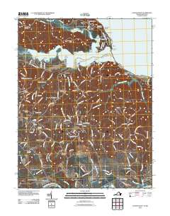
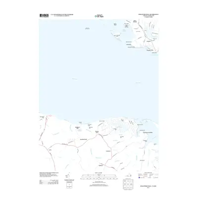
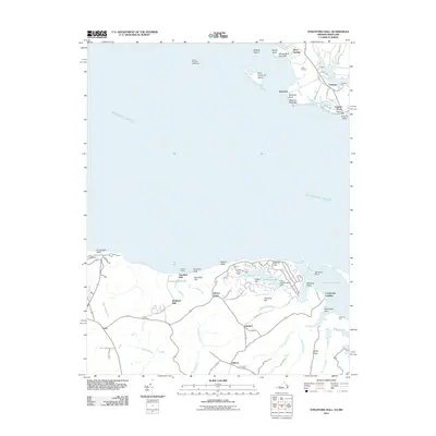 2011 Stratford Hall2011 Print · USGSCovers Charles County, including Bryant Town, Chiltons, and other nearby areas
 - 2011 Map of Rock Point, 2011 Print
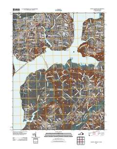
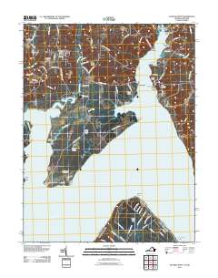
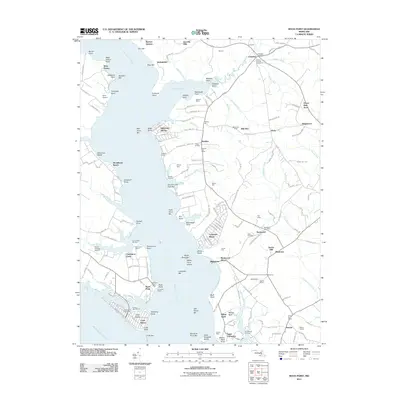 2011 Rock Point2011 Print · USGSCovers Charles County, including Cobb Island, Rock Point, and other nearby areas
 - 2011 Map of Brandywine, 2011 Print
 2011 Brandywine2011 Print · USGSCovers Charles County, including Brandywine, Baden, and other nearby areas
 - 2011 Map of Benedict, 2011 Print
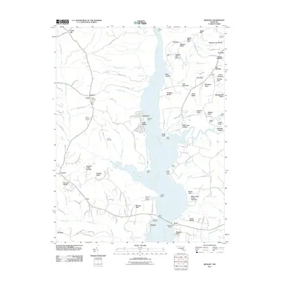 2011 Benedict2011 Print · USGSCovers Charles County, including Aquasco, Benedict, and other nearby areas
 - 2011 Map of Colonial Beach South, 2011 Print
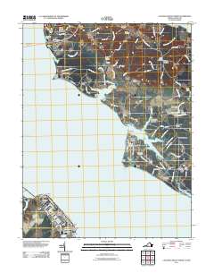
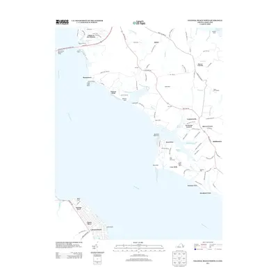
 2011 Colonial Beach South2011 Print · USGSCovers Charles County, including Colonial Beach, Flat Iron, and other nearby areas
 - 2011 Map of Hughesville, 2011 Print
 2011 Hughesville2011 Print · USGSCovers Charles County, including Bryantown, Cameron Ridge, and other nearby areas
 - 2011 Map of Charlotte Hall, 2011 Print
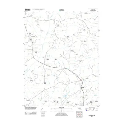
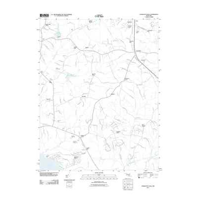 2011 Charlotte Hall2011 Print · USGSCovers Charles County, including Charlotte Hall, Ryceville, and other nearby areas
 - 2011 Map of Mechanicsville, 2011 Print
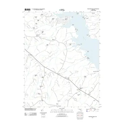 2011 Mechanicsville2011 Print · USGSCovers Charles County, including Golden Beach, Mechanicsville, and other nearby areas
 - 2011 Map of Colonial Beach North, 2011 Print
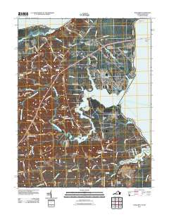
 2011 Colonial Beach North2011 Print · USGSCovers Charles County, including Colonial Beach, Mount Victoria, and other nearby areas
 - 2011 Map of Popes Creek, 2011 Print
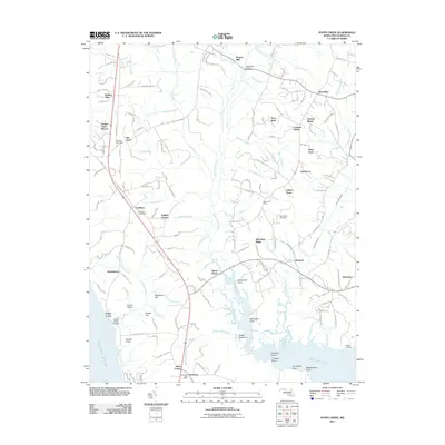 2011 Popes Creek2011 Print · USGSCovers Charles County, including Thomas Manor, Rogers Mill, and other nearby areas
 - 2011 Map of Quantico, 2011 Print
 2011 Quantico2011 Print · USGSCovers Charles County, including Cherry Hill, Montclair, and other nearby areas
 - 2011 Map of Nanjemoy, 2011 Print
 2011 Nanjemoy2011 Print · USGSCovers Charles County, including Doncaster, Hickory Hill, and other nearby areas
 - 2011 Map of Fort Belvoir, 2011 Print
 2011 Fort Belvoir2011 Print · USGSCovers Charles County, including Lorton, Newington, and other nearby areas
 - 2011 Map of Indian Head, 2011 Print
 2011 Indian Head2011 Print · USGSCovers Charles County, including Indian Head, Potomac Heights, and other nearby areas
 - 2011 Map of Widewater, 2011 Print
 2011 Widewater2011 Print · USGSCovers Charles County, including Widewater, Widewater Beach, and other nearby areas
 - 2011 Map of King George, 2011 Print
 2011 King George2011 Print · USGSCovers Charles County, including King George, Fairview Beach, and other nearby areas
 - 2011 Map of Passapatanzy, 2011 Print
 2011 Passapatanzy2011 Print · USGSCovers Charles County, including Passapatanzy, Sealston, and other nearby areas
 - 2011 Map of Mount Vernon, 2011 Print
 2011 Mount Vernon2011 Print · USGSCovers Charles County, including Woodlawn, Fort Hunt, and other nearby areas
 - 2011 Map of Mathias Point, 2011 Print
 2011 Mathias Point2011 Print · USGSCovers Charles County, including Melody Acres, Cedar Grove, and other nearby areas
 - 2011 Map of Port Tobacco, 2011 Print
 2011 Port Tobacco2011 Print · USGSCovers Charles County, including Bennsville, La Plata, and other nearby areas
 - 2011 Map of Dahlgren, 2011 Print
 2011 Dahlgren2011 Print · USGSCovers Charles County, including Colonial Beach, Dahlgren, and other nearby areas
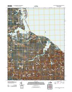
 - 2013 Map of Colonial Beach North, 2013 Print
 2013 Colonial Beach North2013 Print · USGSCovers Charles County, including Colonial Beach, Mount Victoria, and other nearby areas
 - 2013 Map of Stratford Hall, 2013 Print
 2013 Stratford Hall2013 Print · USGSCovers Charles County, including Bryant Town, Chiltons, and other nearby areas
Showing maps 1-25 of 115
Top cities of Charles County
- Waldorf historical maps
- Bennsville historical maps
- La Plata historical maps
- Bryans Road historical maps
- Indian Head historical maps
- Cobb Island historical maps
See more
Frequently asked questions
- What are the different types of historical maps available for Charles County?
- What is the oldest map of Charles County?
- Where can I purchase historical maps of Charles County for my home or office?
- Where can I download high-res historical maps of Charles County?
- Are there historical topographic maps available for Charles County?
- Is there historical aerial imagery available for Charles County?
- Where are historical maps of Charles County sourced from?