2020s Maps of Charles County, Maryland
Explore 23 historic maps of Charles County from the 2020s. These maps offer a rare glimpse into what life looked like during the 2020s — showing old roads, neighborhoods, homes, and landmarks that have changed or disappeared over time.
Whether you're researching your family's past, planning a metal detecting trip, or studying how Charles County's landscape evolved across the 2020s, these high-resolution maps are a powerful tool for exploring the history of this region.
- Focus on a specific era: All maps on this page are from the 2020s, giving you a focused view of this time period.
- See what’s changed: Compare century-old streets, trails, and buildings to today's modern landscape using overlays and satellite layers.
- Research with precision: Use these maps for genealogy, historical research, land use analysis, or educational projects.
- View, download, or print: Maps are fully viewable online in high resolution, and can be downloaded or printed for your own records.
Start exploring Charles County's history through authentic maps from the 2020s. This is your window into the past.
Charles County, MD maps
(23)- 2022 Map of Stratford Hall, 2022 Print
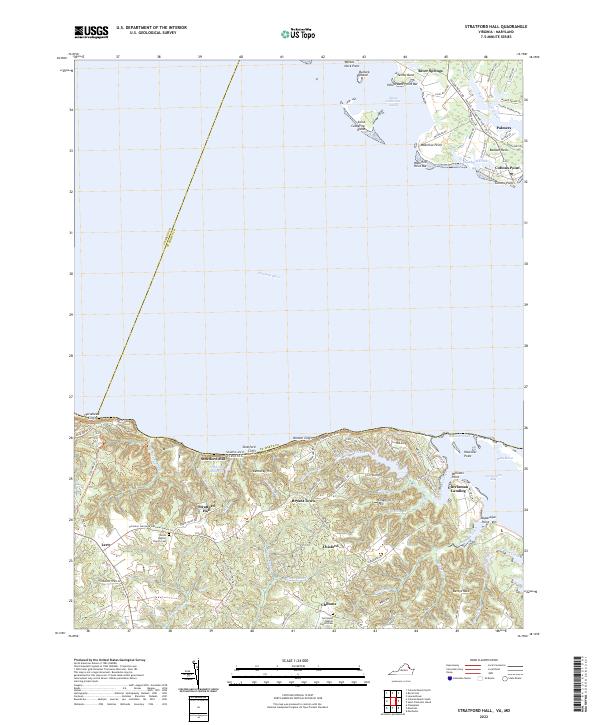 2022 Stratford Hall2022 Print · USGSThe Potomac River shoreline near the Westmoreland cliffs appears in this recent survey, capturing the rural character of Virginia's Northern Neck. Researchers can trace historic family landmarks such as Stratford Hall, Currioman Landing, and the Shiloh Baptist Church Cem.
 - 2022 Map of Colonial Beach South, 2022 Print
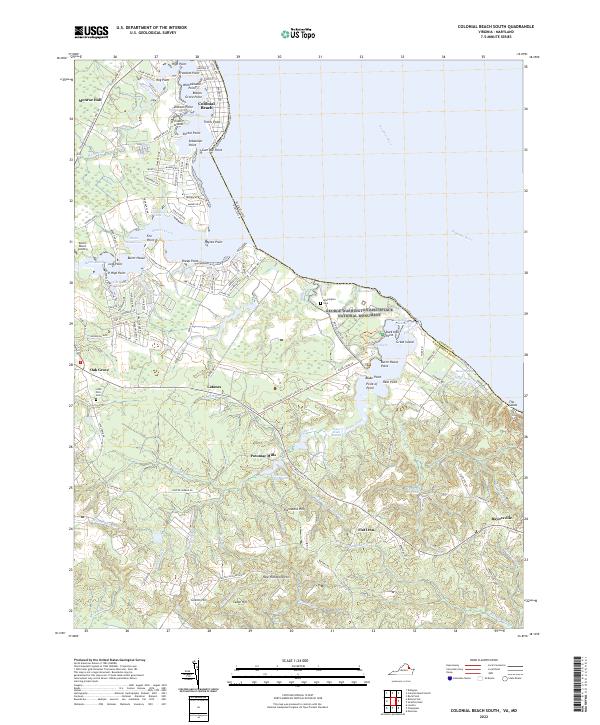 2022 Colonial Beach South2022 Print · USGSWestmoreland County’s riverfront is captured here in the early twenty-first century, centered on the birthplace of a president and the tidal reaches of the Potomac River. Researchers can locate family landmarks like Monroe Hall, find the Washington Cem, and trace the rural crossroads of Oak Grove and Potomac Mills.
 - 2022 Map of Colonial Beach North, 2022 Print
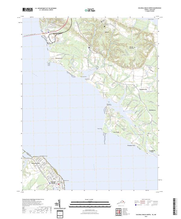 2022 Colonial Beach North2022 Print · USGSThe Potomac River shoreline near the Maryland-Virginia border comes into focus in this recent survey. Local historians can trace old community centers and cemeteries like Shiloh Community Church Cem and settlements such as Morgantown and Tompkinsville.
 - 2022 Map of Dahlgren, 2022 Print
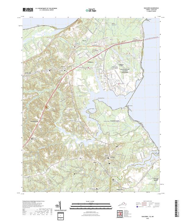 2022 Dahlgren2022 Print · USGSThe Potomac shoreline at the Maryland-Virginia border is defined here by military history and rural community life. Genealogists can trace family names through numerous burial sites like Spy Hill Cem, Bumbrey Cem, and Little Ark Baptist Church Cem.
 - 2022 Map of Passapatanzy, 2022 Print
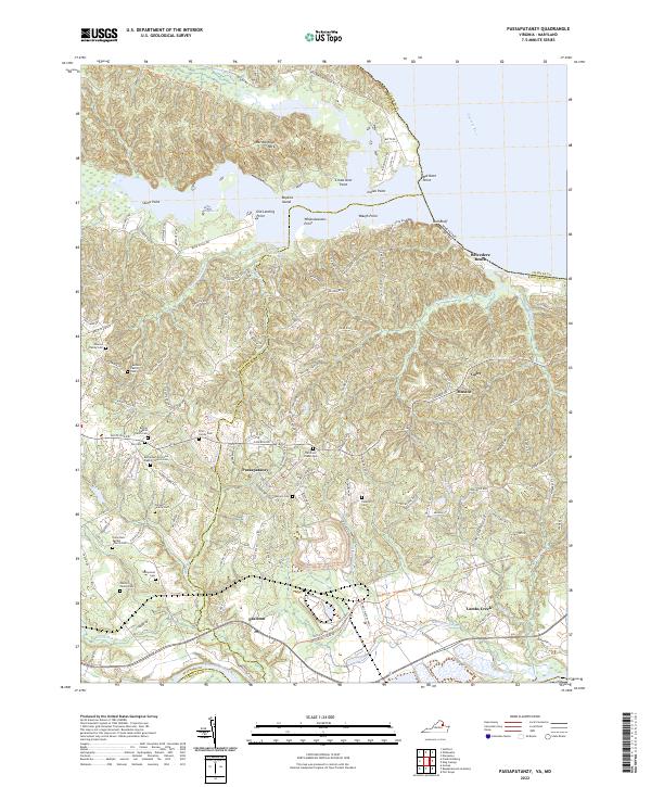 2022 Passapatanzy2022 Print · USGSKing George and Stafford Counties are shown here in the 2020s, dominated by the winding curves of the Potomac and Rappahannock Rivers. Genealogists can trace numerous family landmarks like Newton Family Cem, Bourne Family Cem, and the community at Passapatanzy.
 - 2022 Map of Mathias Point, 2022 Print
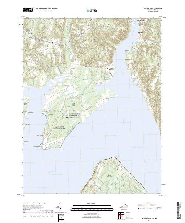 2022 Mathias Point2022 Print · USGSThe Potomac and Port Tobacco Rivers converge in this recent survey of the Maryland-Virginia borderlands. Researchers can trace land patterns across Mathias Point and Cedar Point Neck or locate the Zion Baptist Church Cem and Lanseair Farms Airport.
 - 2022 Map of Widewater, 2022 Print
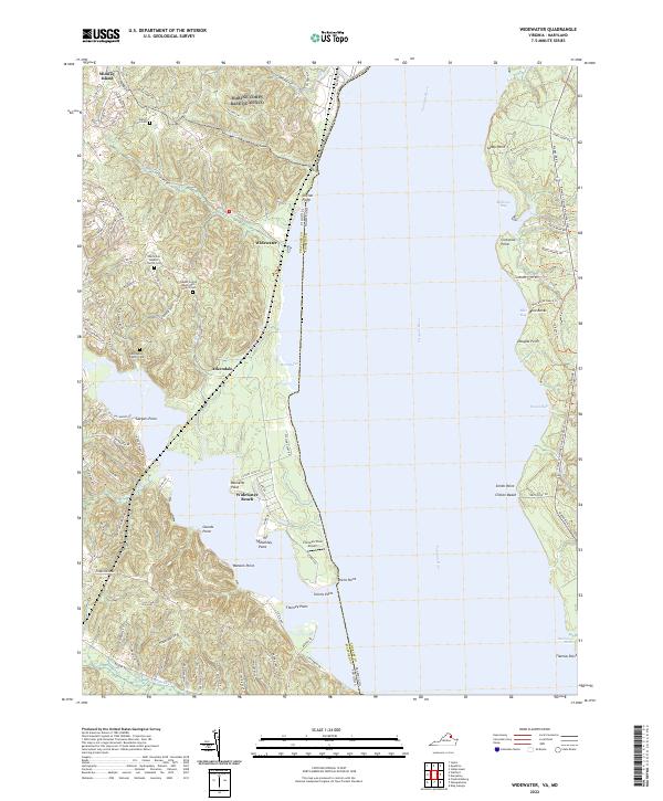 2022 Widewater2022 Print · USGSThe Potomac River shoreline in Stafford County and Maryland is captured here in the early twenty-first century. Researchers can locate numerous family burial sites such as Edrington Family Cem or trace the Potomac Heritage National Scenic Trl past Widewater Beach.
 - 2022 Map of Fort Belvoir, 2022 Print
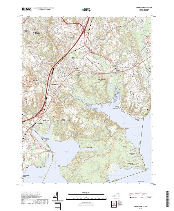 2022 Fort Belvoir2022 Print · USGSFort Belvoir and the surrounding tidal reaches of the Potomac are shown here in the early twenty-first century as the region balanced military growth with historic preservation. Trace family lineage through numerous small burial sites like the Fairfax Grave or Millan Potter Family Cem while exploring the developed shorelines of Pohick Bay.
 - 2022 Map of Mount Vernon, 2022 Print
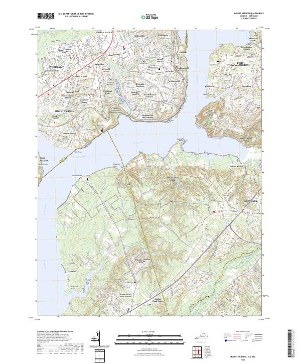 2022 Mount Vernon2022 Print · USGSThe Potomac River shoreline near Mount Vernon is documented here in its modern context, bridging the gap between colonial history and suburban development. Genealogists and historians can trace family sites like Lyles Family Cem, Marshall Cem, and the historic Gum Springs settlement.
 - 2022 Map of King George, 2022 Print
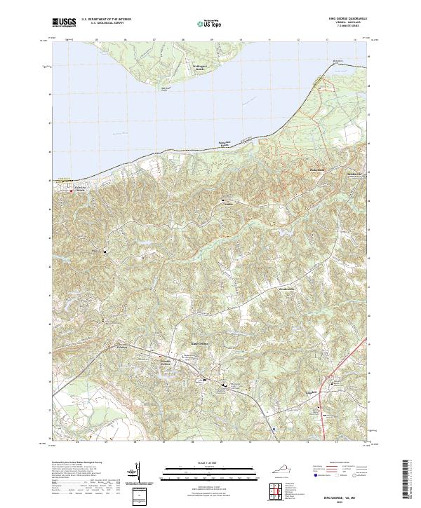 2022 King George2022 Print · USGSKing George County at the start of the 2020s shows a landscape of deep-rooted settlements and riverside communities along the Potomac. Researchers can locate family heritage sites at the Saint Pauls Episcopal Church Cemetery or trace the environs of the King George County Courthouse and Historyland Memorial Park.
 - 2022 Map of Quantico, 2022 Print
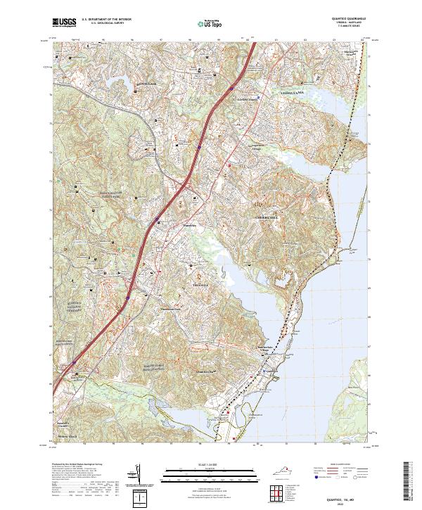 2022 Quantico2022 Print · USGSThe Potomac shoreline in northern Virginia is a blend of strategic military grounds and colonial-era legacies. Researchers can trace family history through numerous burial sites like Henderson Cem or explore the grounds of Marine Corps Base Quantico.
 - 2023 Map of La Plata, 2023 Print
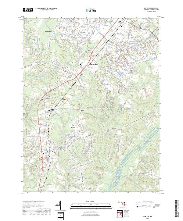 2023 La Plata2023 Print · USGSCharles County experiences modern suburban growth and expansion along its central corridor in the early 2020s. Genealogists and historians can trace community roots through the Charles County Courthouse and several local sites like Mount Rest Cem and Sacred Heart Cem.
 - 2023 Map of Hughesville, 2023 Print
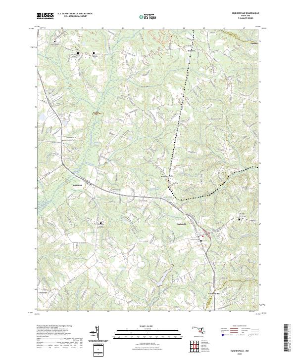 2023 Hughesville2023 Print · USGSCharles County at the start of the 2020s remains a landscape of historic parishes and extensive wetlands. Researchers can trace family sites from Charlotte Hall to Bryantown, including the Old Saint Peter's Catholic Church Cem and Zekiah Swamp.
 - 2023 Map of Nanjemoy, 2023 Print
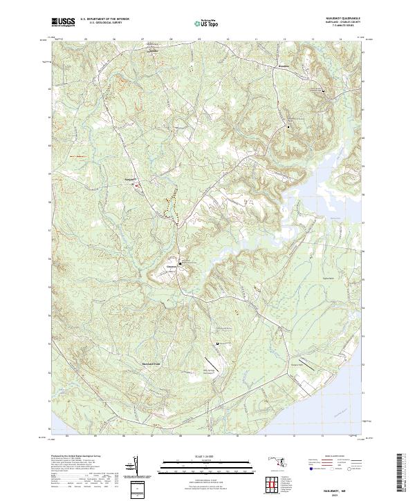 2023 Nanjemoy2023 Print · USGSThe Potomac River shoreline and its tidal creeks define this Charles County landscape in the early twenty-first century. Genealogists can trace family sites at Saint Ignatius of Loyola Cem, Maryland Point, and the rural crossroads of Ironsides.
 - 2023 Map of Charlotte Hall, 2023 Print
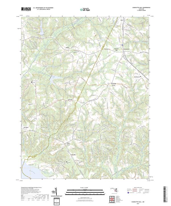 2023 Charlotte Hall2023 Print · USGSSouthern Maryland crossroads and rural communities are captured here in the early twenty-first century. Genealogists can locate family landmarks such as Trinity Church Cem and John Wesley Cem or trace the early paths of Three Notch Rd.
 - 2023 Map of Mechanicsville, 2023 Print
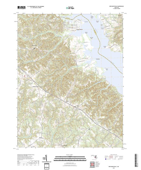 2023 Mechanicsville2023 Print · USGSMaryland's St. Mary's County interior is captured in this modern survey of the tidewater peninsula. Genealogists can trace family names and burial sites at All Faith Episcopal Cem or Galilee Cem, while following old routes like Three Notch Rd.
 - 2023 Map of Port Tobacco, 2023 Print
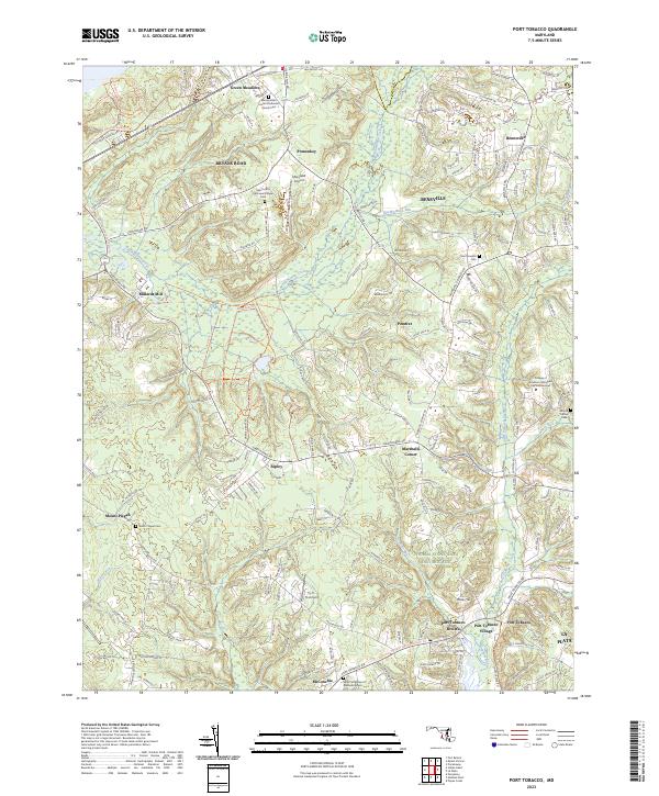 2023 Port Tobacco2023 Print · USGSCharles County's colonial heritage and modern growth meet in this recent survey of the Port Tobacco region. Researchers can trace family sites at Saint Josephs Cem or locate historic landmarks like the Thomas Stone Natl Historic Site and Millards Mill.
 - 2023 Map of Benedict, 2023 Print
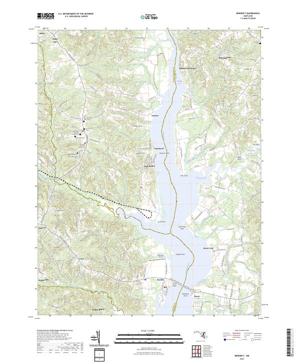 2023 Benedict2023 Print · USGSThe Patuxent River valley in southern Maryland is documented here in the early 2020s, showing the intersection of Prince George's, Calvert, and Charles counties. Genealogists can trace deep local roots at Saint Philips Episcopal Church Cem or Scott Family Cem while exploring the waterfront at Eagle Harbor.
 - 2023 Map of Rock Point, 2023 Print
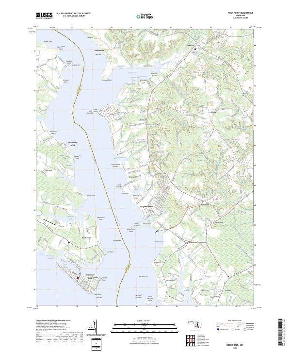 2023 Rock Point2023 Print · USGSSouthern Maryland’s riverfront communities come into focus in this contemporary survey of the Wicomico River. Researchers can trace family landmarks like Christ Church Cem and the distinct shoreline developments of Cobb Island and Longview Beach.
 - 2023 Map of Piscataway, 2023 Print
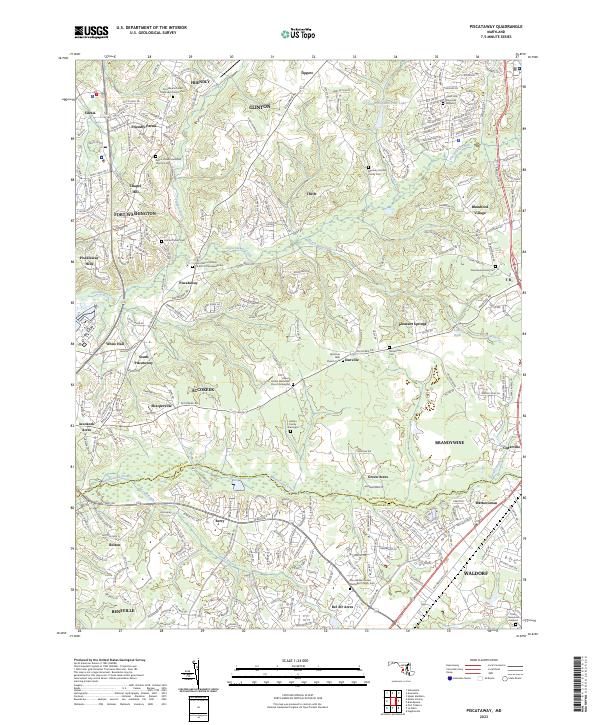 2023 Piscataway2023 Print · USGSSouthern Maryland at the dawn of the 2020s shows a landscape where historic family roots meet modern growth. Genealogists can trace lineage at the Hatton Family Cem or find old community centers like Thrift and Piscataway.
 - 2023 Map of Brandywine, 2023 Print
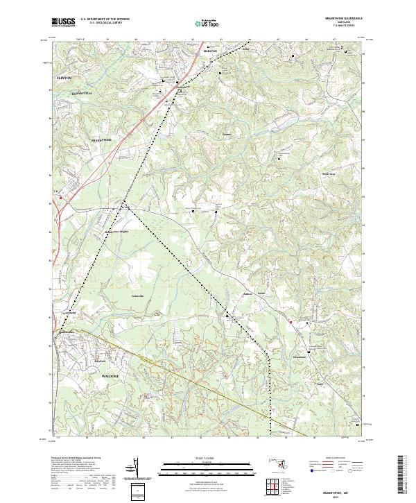 2023 Brandywine2023 Print · USGSSouthern Maryland at the border of Prince George's and Charles counties shows a mix of suburban growth and deep-rooted rural crossroads. Genealogists can trace family heritage through sites like Maryland Veterans Cem, Horsehead, and Saint Thomas Episcopal Church Cem.
 - 2023 Map of Popes Creek, 2023 Print
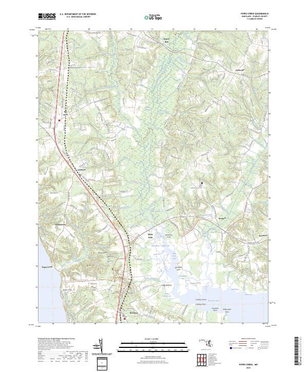 2023 Popes Creek2023 Print · USGSSouthern Charles County at the start of the 2020s remains a landscape defined by the Wicomico River and the sprawling Zekiah Swamp. Genealogists and local historians can trace rural communities like Newport and Allens Fresh, or locate family markers at Saint Marys Catholic Church Cem.
 - 2023 Map of Indian Head, 2023 Print
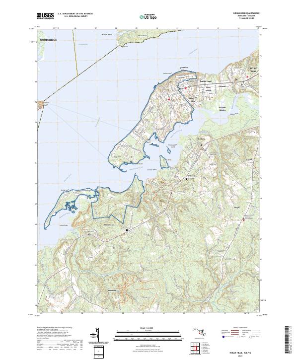 2023 Indian Head2023 Print · USGSThe Potomac River shoreline in Charles County was recently documented to show the modern growth of Indian Head and its neighboring villages. Researchers can locate numerous local burial sites including Alexandria Cem and Chicamuxen Cem, alongside the residential networks of Potomac Heights and Glymont.
End of results
Showing maps 1-23 of 23
Top cities of Charles County
- Waldorf historical maps
- Bennsville historical maps
- La Plata historical maps
- Bryans Road historical maps
- Indian Head historical maps
- Cobb Island historical maps
See more
Frequently asked questions
- What are the different types of historical maps available for Charles County?
- What is the oldest map of Charles County?
- Where can I purchase historical maps of Charles County for my home or office?
- Where can I download high-res historical maps of Charles County?
- Are there historical topographic maps available for Charles County?
- Is there historical aerial imagery available for Charles County?
- Where are historical maps of Charles County sourced from?