Old Maps of Wesley, Maryland
Explore 16 old maps of Wesley, spanning from 1898 to today. These high-resolution historic maps reveal how streets, neighborhoods, landmarks, and natural features evolved over time — perfect for genealogy, metal detecting, research, and local history exploration.
What you can do with these maps:
- See how Wesley changed over time: Compare historical maps to modern-day views to trace roads, homesites, rail lines & more.
- View detailed metadata: Each map includes creators, publishers, year, scale, and archive source.
- Overlay maps with satellite & LiDAR: Visualize the past alongside modern tools to explore terrain & human change.
- Trusted historical sources: Maps sourced from the USGS, Library of Congress, and other archives.
- Access maps your way: View online, download high-res files, or order prints for personal or research use.
Start exploring old maps of Wesley to uncover forgotten places, hidden landmarks, and the deep history beneath your feet.
Wesley, MD maps
(16)- 1898 Map of St. Marys
 1898 St. Marys1898 Print · USGSMaryland's tidewater region is captured here in the late nineteenth century, showing the intricate geography of the lower Chesapeake. Genealogists can trace family roots through old landings and villages like Great Mills, Toddville, and Solomons.2 unique versions available
 - 1905 Map of Crapo
 1905 Crapo1905 Print · USGSDorchester County at the turn of the century is a landscape of tide-water landings and island villages. Genealogists can trace family roots in Lakesville, Bucktown, and Hoopersville, or locate early maritime sites like Shorters Landing and the Steamboat Route.3 unique versions available
 - 1906 Map of St. Marys
 1906 St. Marys1906 Print · USGSChesapeake Bay and the Potomac River converge in this 1906 survey of the Maryland and Virginia tidewater. Historians can trace the region's maritime heritage through dozens of named landings and islands, from Solomons Id. to the remote reaches of Smith Island.4 unique versions available
 - 1942 Map of Wingate, 1962 Print
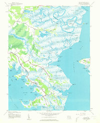 1942 Wingate1962 Print · USGSDorchester County's marshy lower peninsula is captured here during the early 1940s, showing a network of isolated water-bound communities. Genealogists and local historians can trace the small homesteads and landings at Bishops Head, Toddville, and the remote Elliott Island.2 unique versions available
 - 1943 Map of Wingate
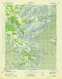 1943 Wingate1943 Print · USGSCoastal Dorchester County is captured here during the mid-1940s, showing a land defined by tide and timber. Genealogists and historians can trace old homesteads and landmarks like St Thomas, the Wingate PO, and the remote settlement of Elliott.
 - 1948 Map of Washington
 1948 Washington1948 Print · USGSThe Potomac and Chesapeake regions in the late 1940s reveal a landscape of expanding military reach and deep-rooted Tidewater settlements. Trace old rail corridors like the Richmond Fredericksburg & Potomac RR or locate landmarks like the Wakefield Washington Monument and St. Marys College.2 unique versions available
 - 1957 Map of Washington, 1966 Print
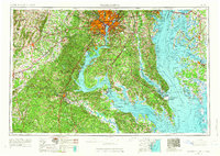 1957 Washington1966 Print · USGSThe mid-Atlantic region during the mid-fifties and early sixties reveals a landscape of growing suburbs and vital military outposts. Researchers can trace historic river towns and shorelines from Alexandria to the Hooper Islands and St Clements Island.5 unique versions available
 - 1961 Map of Washington
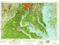 1961 Washington1961 Print · USGSThe mid-Atlantic region in the late fifties is presented in remarkable detail, from the Blue Ridge foothills to the Chesapeake Eastern Shore. Researchers can trace historic river landings and military sites like Mount Vernon, Fort Belvoir, and Point Lookout.2 unique versions available
 - 1982 Map of Wingate, 1983 Print
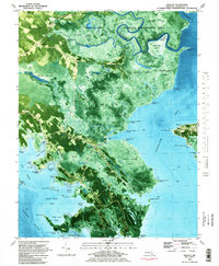 1982 Wingate1983 Print · USGSDorchester County's marshy Chesapeake coastline is revealed in the early eighties as a network of tidal guts and small fishing settlements. Researchers can trace historic family locations in Wingate, Toddville, and Crapo, or locate the Ebenezer Ch and landings such as Wrights Landing.2 unique versions available
 - 1983 Map of Leonardtown, 1984 Print
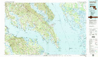 1983 Leonardtown1984 Print · USGSSouthern Maryland and the Northern Neck of Virginia are shown in the early eighties as a mosaic of historic tidewater settlements and modern installations. Trace family roots and shoreline changes near St Marys City, Leonardtown, and Colonial Beach.2 unique versions available
 - 1989 Map of Washington
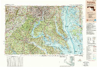 1989 Washington1989 Print · USGSThe Potomac River valley and Chesapeake Bay are shown in comprehensive detail during the late 1980s. Genealogists and historians can trace the transition from urban Alexandria to the rural Northern Neck, locating landmarks like Mount Vernon and Stratford Hall.
 - 2011 Map of Wingate, 2011 Print
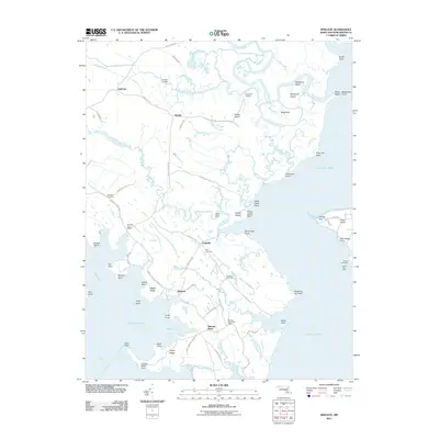 2011 Wingate2011 Print · USGSDorchester County's marshy shoreline comes into focus during the early twenty-first century, documenting a landscape of isolated peninsulas and tide-dependent landings. Genealogists can trace family roots through Ebenezer Cemetery, Zion Cemetery, and several local post offices in Wingate and Toddville.
 - 2014 Map of Wingate, 2014 Print
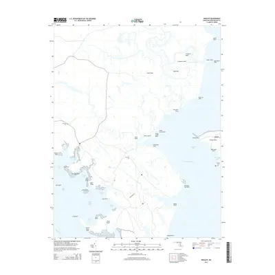 2014 Wingate2014 Print · USGSThe Dorchester County shoreline and Elliott Island come into sharp focus in this mid-2010s survey of the Maryland coast. Genealogists and local historians can trace family roots through Ebenezer Cem, Zion Cem, and the remote settlement of Elliott.
 - 2016 Map of Wingate, 2016 Print
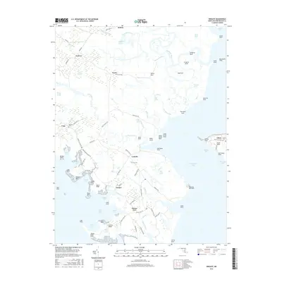 2016 Wingate2016 Print · USGSChesapeake Bay marshlands and isolated fishing hamlets define this Dorchester County coast during the mid-2010s. Genealogists and local historians can trace the roads and family sites of Toddville, Bishops Head, and the Elliott Cem along the edge of Fishing Bay.
 - 2019 Map of Wingate, 2019 Print
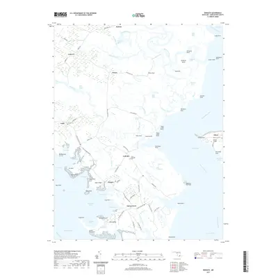 2019 Wingate2019 Print · USGSDorchester County's marshy shoreline comes into focus in this modern era survey of the Chesapeake's eastern edge. Genealogists can locate family sites at Elliott Island, Crapo, and Bishops Head, or trace legacy burials at Zion Methodist Cem and Elliotts Cem.
 - 2023 Map of Wingate, 2023 Print
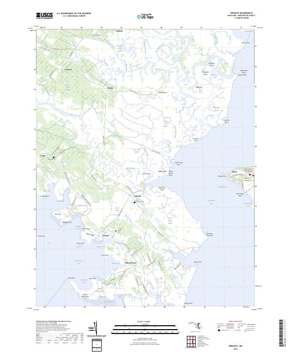 2023 Wingate2023 Print · USGSThe Dorchester County peninsula is captured here in its modern state, showing a landscape defined by tidal marshes and isolated water-bound communities. Genealogists can trace family roots at Zion Methodist Cem or Ebenezer Cem and explore the remote settlement of Elliott.
End of results
Showing maps 1-16 of 16
Top cities near Wesley
Frequently asked questions
- What are the different types of historical maps available for Wesley?
- What is the oldest map of Wesley?
- Where can I purchase historical maps of Wesley for my home or office?
- Where can I download high-res historical maps of Wesley?
- Are there historical topographic maps available for Wesley?
- Is there historical aerial imagery available for Wesley?
- Where are historical maps of Wesley sourced from?