2000s (21st Century) Maps of Crisfield, Maryland
Explore 10 historic maps of Crisfield from the 2000s (21st Century). These maps offer a rare glimpse into what life looked like during the 2000s — showing old roads, neighborhoods, homes, and landmarks that have changed or disappeared over time.
Whether you're researching your family's past, planning a metal detecting trip, or studying how Crisfield's landscape evolved across the 2000s, these high-resolution maps are a powerful tool for exploring the history of this region.
- Focus on a specific era: All maps on this page are from the 2000s, giving you a focused view of this time period.
- See what’s changed: Compare century-old streets, trails, and buildings to today's modern landscape using overlays and satellite layers.
- Research with precision: Use these maps for genealogy, historical research, land use analysis, or educational projects.
- View, download, or print: Maps are fully viewable online in high resolution, and can be downloaded or printed for your own records.
Start exploring Crisfield's history through authentic maps from the 2000s. This is your window into the past.
Crisfield, MD maps
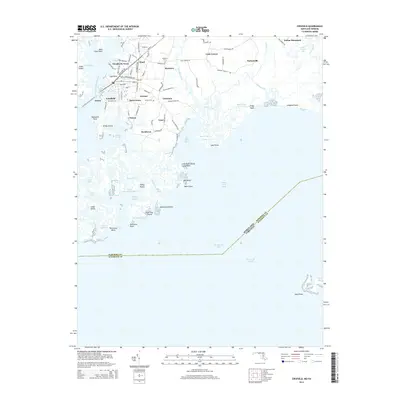
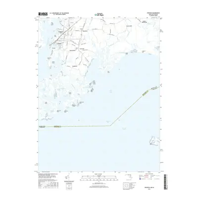
(10)- 2011 Map of Crisfield, 2011 Print
 2011 Crisfield2011 Print · USGSCovers Crisfield, including Byrdtown, Nelson, and other nearby areas
 - 2011 Map of Marion, 2011 Print
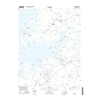
 2011 Marion2011 Print · USGSCovers Crisfield, including Upper Fairmount, Hopewell, and other nearby areas
 - 2014 Map of Marion, 2014 Print
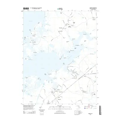 2014 Marion2014 Print · USGSCovers Crisfield, including Upper Fairmount, Hopewell, and other nearby areas
 - 2014 Map of Crisfield, 2014 Print
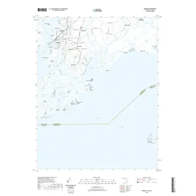
 2014 Crisfield2014 Print · USGSCovers Crisfield, including Byrdtown, Nelson, and other nearby areas
 - 2016 Map of Crisfield, 2016 Print
 2016 Crisfield2016 Print · USGSCovers Crisfield, including Byrdtown, Nelson, and other nearby areas
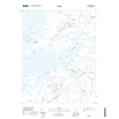
 - 2016 Map of Marion, 2016 Print
 2016 Marion2016 Print · USGSCovers Crisfield, including Upper Fairmount, Hopewell, and other nearby areas
 - 2019 Map of Crisfield, 2019 Print
 2019 Crisfield2019 Print · USGSCovers Crisfield, including Byrdtown, Nelson, and other nearby areas
 - 2019 Map of Marion, 2019 Print
 2019 Marion2019 Print · USGSCovers Crisfield, including Upper Fairmount, Hopewell, and other nearby areas
 - 2023 Map of Crisfield, 2023 Print
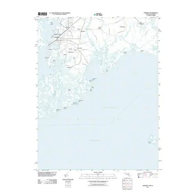
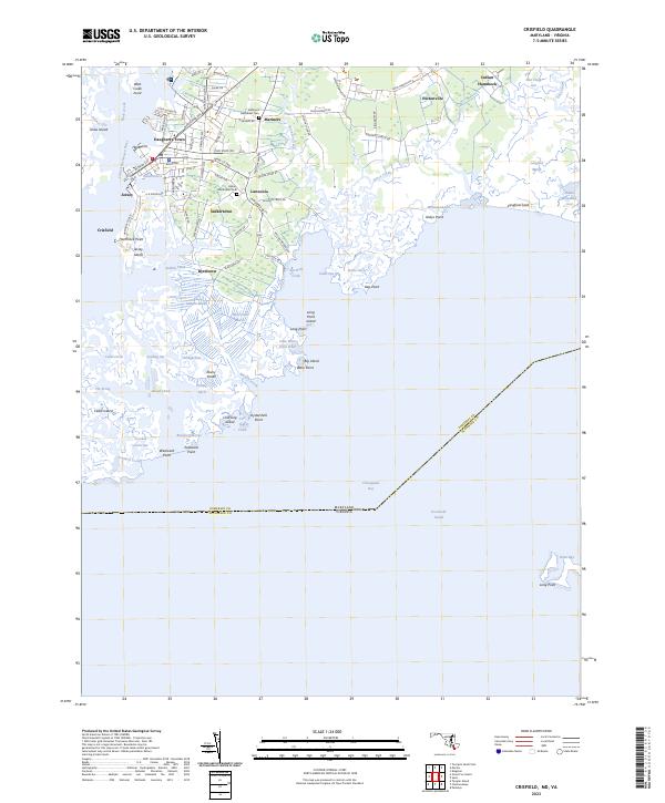 2023 Crisfield2023 Print · USGSCoastal Somerset County in the early twenty-first century remains a world defined by the tide and the marsh. Researchers can trace family ties at the Mariners Methodist Cem or explore the waterfront lanes of Sackertown and Lawsonia.
 - 2023 Map of Marion, 2023 Print
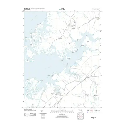
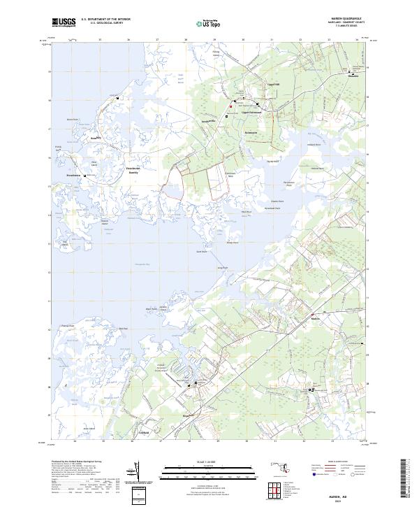 2023 Marion2023 Print · USGSThe Lower Eastern Shore meets the Chesapeake Bay in this detailed survey of Somerset County's marshlands and coastal necks. Genealogists can trace family footprints through numerous local burial sites like Union Cem, Salem Cem, and Landford Cem.
End of results
Showing maps 1-10 of 10
Top cities near Crisfield
- Princess Anne historical maps
- Parksley historical maps
- Tangier historical maps
- Bloxom historical maps
- Chase Crossing historical maps
- Whitesville historical maps
See more
Top neighborhoods of Crisfield
Frequently asked questions
- What are the different types of historical maps available for Crisfield?
- What is the oldest map of Crisfield?
- Where can I purchase historical maps of Crisfield for my home or office?
- Where can I download high-res historical maps of Crisfield?
- Are there historical topographic maps available for Crisfield?
- Is there historical aerial imagery available for Crisfield?
- Where are historical maps of Crisfield sourced from?