Old Maps of Somerset County, Maryland
Explore 88 old maps of Somerset County, spanning from 1898 to today. These high-resolution historic maps reveal how streets, neighborhoods, landmarks, and natural features evolved over time — perfect for genealogy, metal detecting, research, and local history exploration.
What you can do with these maps:
- See how Somerset County changed over time: Compare historical maps to modern-day views to trace roads, homesites, rail lines & more.
- View detailed metadata: Each map includes creators, publishers, year, scale, and archive source.
- Overlay maps with satellite & LiDAR: Visualize the past alongside modern tools to explore terrain & human change.
- Trusted historical sources: Maps sourced from the USGS, Library of Congress, and other archives.
- Access maps your way: View online, download high-res files, or order prints for personal or research use.
Start exploring old maps of Somerset County to uncover forgotten places, hidden landmarks, and the deep history beneath your feet.
Somerset County, MD maps
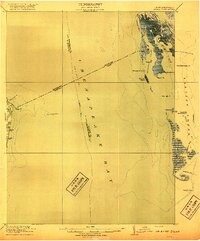
(88)- 1898 Map of St. Marys
 1898 St. Marys1898 Print · USGSCovers Somerset County, including Lexington Park, Chesapeake Ranch Estates, and other nearby areas2 unique versions available
 - 1901 Map of Salisbury
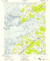
 1901 Salisbury1901 Print · USGSCovers Somerset County, including Salisbury, Fruitland, and other nearby areas4 unique versions available
 - 1903 Map of Crisfield
 1903 Crisfield1903 Print · USGSCovers Somerset County, including Crisfield, Tangier, and other nearby areas4 unique versions available
 - 1903 Map of Nanticoke
 1903 Nanticoke1903 Print · USGSCovers Somerset County, including Mardela Springs, Vienna, and other nearby areas4 unique versions available
 - 1903 Map of Bloodsworth Island
 1903 Bloodsworth Island1903 Print · USGSCovers Somerset County, including Crocheron, Hog Island, and other nearby areas3 unique versions available
 - 1903 Map of Deal Island
 1903 Deal Island1903 Print · USGSCovers Somerset County, including Crisfield, Ward, and other nearby areas3 unique versions available
 - 1906 Map of St. Marys
 1906 St. Marys1906 Print · USGSCovers Somerset County, including Lexington Park, Chesapeake Ranch Estates, and other nearby areas4 unique versions available
 - 1917 Map of Ewell
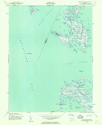
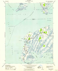
 1917 Ewell1917 Print · USGSCovers Somerset County, including Tylerton, Rhodes Point, and other nearby areas2 unique versions available
 - 1920 Map of Crisfield
 1920 Crisfield1920 Print · USGSCovers Somerset County, including Crisfield, Tangier, and other nearby areas
 - 1942 Map of Terrapin Sand Point, 1957 Print
 1942 Terrapin Sand Point1957 Print · USGSCovers Somerset County, including United States, Maryland, and other nearby areas
 - 1942 Map of Kedges Straits, 1957 Print
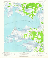
 1942 Kedges Straits1957 Print · USGSCovers Somerset County, including Dorchester County, United States, and other nearby areas
 - 1942 Map of Ewell, 1957 Print
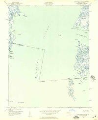
 1942 Ewell1957 Print · USGSCovers Somerset County, including Tylerton, Rhodes Point, and other nearby areas
 - 1942 Map of Bloodsworth Island, 1957 Print
 1942 Bloodsworth Island1957 Print · USGSCovers Somerset County, including Crocheron, Hog Island, and other nearby areas
 - 1942 Map of Great Fox Island, 1957 Print
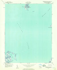
 1942 Great Fox Island1957 Print · USGSCovers Somerset County, including Accomack County, United States, and other nearby areas
 - 1942 Map of Marion, 1958 Print
 1942 Marion1958 Print · USGSCovers Somerset County, including Crisfield, Ward, and other nearby areas2 unique versions available
 - 1942 Map of Deal Island, 1958 Print
 1942 Deal Island1958 Print · USGSCovers Somerset County, including Waterview, Wenona, and other nearby areas2 unique versions available
 - 1942 Map of Monie, 1958 Print
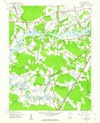
 1942 Monie1958 Print · USGSCovers Somerset County, including Monie, Pine Beach, and other nearby areas
 - 1942 Map of Wetipquin, 1962 Print
 1942 Wetipquin1962 Print · USGSCovers Somerset County, including Martins Corner, Green Hill, and other nearby areas
 - 1942 Map of Kingston, 1962 Print
 1942 Kingston1962 Print · USGSCovers Somerset County, including Cottage Grove, Greenhill, and other nearby areas2 unique versions available
 - 1942 Map of Princess Anne, 1962 Print
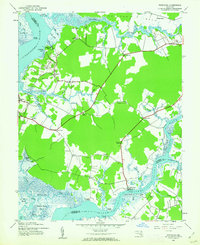
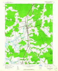 1942 Princess Anne1962 Print · USGSCovers Somerset County, including Princess Anne, Landon Station, and other nearby areas
 - 1942 Map of Eden, 1962 Print
 1942 Eden1962 Print · USGSCovers Somerset County, including Salisbury, Fruitland, and other nearby areas2 unique versions available
 - 1942 Map of Saxis, 1962 Print
 1942 Saxis1962 Print · USGSCovers Somerset County, including Saxis, Sanford, and other nearby areas
 - 1942 Map of Dividing Creek, 1962 Print
 1942 Dividing Creek1962 Print · USGSCovers Somerset County, including Cokesbury, Whiteburg, and other nearby areas
 - 1942 Map of Salisbury, 1962 Print
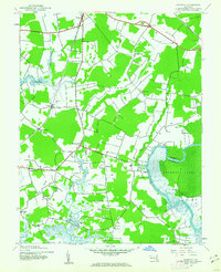
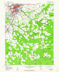 1942 Salisbury1962 Print · USGSCovers Somerset County, including Salisbury, Fruitland, and other nearby areas2 unique versions available
 - 1943 Map of Dividing Creek
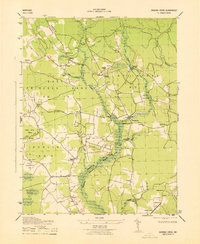 1943 Dividing Creek1943 Print · USGSCovers Somerset County, including Cokesbury, Whiteburg, and other nearby areas
Showing maps 1-25 of 88
Top cities of Somerset County
Frequently asked questions
- What are the different types of historical maps available for Somerset County?
- What is the oldest map of Somerset County?
- Where can I purchase historical maps of Somerset County for my home or office?
- Where can I download high-res historical maps of Somerset County?
- Are there historical topographic maps available for Somerset County?
- Is there historical aerial imagery available for Somerset County?
- Where are historical maps of Somerset County sourced from?