
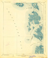
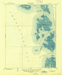
1903 Map of Bloodsworth Island
USGS Topo · Published 1903About this map
Bloodsworth Island No. 10 and its surrounding archipelago define this maritime landscape at the turn of the century, where the marshy fringes of the Chesapeake Bay meet the open waters of Tangier Sound. The map documents a fragile coastal environment long before modern erosion and rising tides significantly altered these landforms. Small fishing and crabbing outposts like Applegarth and Crocheron represent the isolated watermen communities of the era.
Find a feature on this map
54 named features on this map. Tap any name to fly to it.
Don’t see what you’re looking for? This feature index may not catch every label — zoom into the map to look around manually.
Map Details
Editions of this 1903 Bloodsworth Island Map
3 editions found
Other maps of this area

1892 · Drum Point
USGS Topo · 1:62,500

1894 · Point Lookout
USGS Topo · 1:62,500

1898 · St. Marys
USGS Topo · 1:125,000

1901 · Drum Point
USGS Topo · 1:62,500

1903 · Crisfield
USGS Topo · 1:62,500

1903 · Nanticoke
USGS Topo · 1:62,500

1903 · Deal Island
USGS Topo · 1:62,500

1905 · Crapo
USGS Topo · 1:62,500

1905 · Drum Point
USGS Topo · 1:62,500

1906 · St. Marys
USGS Topo · 1:125,000