Old Maps of Talbot County, Maryland for Academic Research
Study the evolution of Talbot County with 75 high-resolution historic maps. Whether you're teaching, researching, or modeling changes in land use, these maps provide essential visual documentation of urban, environmental, and geographic change.
- Analyze long-term change: Track patterns in development, transportation, and natural features.
- Ideal for environmental or urban studies: Support academic projects with primary historical map data.
- Use in the classroom or lab: Educators and researchers rely on these maps to bring historical context to life.
These maps are a powerful tool for teaching, research, and visualizing how Talbot County has changed over the decades.
Talbot County, MD maps
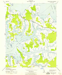
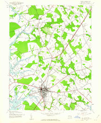
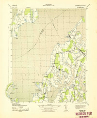
(75)- 1892 Map of Annapolis
 1892 Annapolis1892 Print · USGSCovers Talbot County, including Annapolis, Stevensville, and other nearby areas2 unique versions available
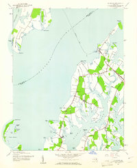
 - 1893 Map of Sharps Island
 1893 Sharps Island1893 Print · USGSCovers Talbot County, including Seaview, Hudson, and other nearby areas3 unique versions available
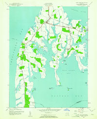
 - 1898 Map of Choptank
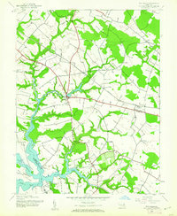
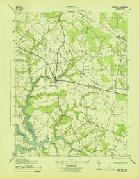
 1898 Choptank1898 Print · USGSCovers Talbot County, including Annapolis, Easton, and other nearby areas2 unique versions available
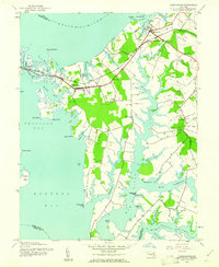
 - 1904 Map of St. Michaels
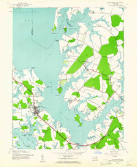
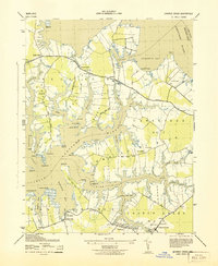
 1904 St. Michaels1904 Print · USGSCovers Talbot County, including Easton, Grasonville, and other nearby areas3 unique versions available
 - 1904 Map of Annapolis
 1904 Annapolis1904 Print · USGSCovers Talbot County, including Annapolis, Stevensville, and other nearby areas5 unique versions available
 - 1904 Map of Sharps Island
 1904 Sharps Island1904 Print · USGSCovers Talbot County, including Seaview, Hudson, and other nearby areas3 unique versions available
 - 1904 Map of Oxford
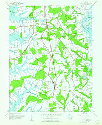
 1904 Oxford1904 Print · USGSCovers Talbot County, including Easton, Cambridge, and other nearby areas3 unique versions available
 - 1905 Map of Denton
 1905 Denton1905 Print · USGSCovers Talbot County, including Denton, Greensboro, and other nearby areas3 unique versions available
 - 1905 Map of Hurlock
 1905 Hurlock1905 Print · USGSCovers Talbot County, including Federalsburg, Hurlock, and other nearby areas3 unique versions available
 - 1908 Map of Choptank
 1908 Choptank1908 Print · USGSCovers Talbot County, including Annapolis, Easton, and other nearby areas5 unique versions available
 - 1942 Map of Tilghman
 1942 Tilghman1942 Print · USGSCovers Talbot County, including Deep Harbour Farm Estates, Neavitt, and other nearby areas3 unique versions available
 - 1942 Map of Oxford
 1942 Oxford1942 Print · USGSCovers Talbot County, including Oxford, Royal Acres, and other nearby areas3 unique versions available
 - 1942 Map of Church Creek, 1958 Print
 1942 Church Creek1958 Print · USGSCovers Talbot County, including Church Creek, Seawilde, and other nearby areas2 unique versions available
 - 1942 Map of Claiborne, 1961 Print
 1942 Claiborne1961 Print · USGSCovers Talbot County, including Claiborne, Mount Pleasant, and other nearby areas4 unique versions available
 - 1942 Map of Kent Island, 1961 Print
 1942 Kent Island1961 Print · USGSCovers Talbot County, including Stevensville, Chester, and other nearby areas3 unique versions available
 - 1942 Map of Queenstown, 1961 Print
 1942 Queenstown1961 Print · USGSCovers Talbot County, including Grasonville, Queenstown, and other nearby areas3 unique versions available
 - 1942 Map of Easton, 1961 Print
 1942 Easton1961 Print · USGSCovers Talbot County, including Easton, Longwoods, and other nearby areas3 unique versions available
 - 1942 Map of Wye Mills, 1961 Print
 1942 Wye Mills1961 Print · USGSCovers Talbot County, including Wye Mills, Starr, and other nearby areas2 unique versions available
 - 1942 Map of Sharps Island, 1961 Print
 1942 Sharps Island1961 Print · USGSCovers Talbot County, including Seaview, Hudson, and other nearby areas
 - 1942 Map of St. Michaels, 1961 Print
 1942 St. Michaels1961 Print · USGSCovers Talbot County, including Saint Michaels, Rays Point, and other nearby areas3 unique versions available
 - 1942 Map of Trappe, 1962 Print
 1942 Trappe1962 Print · USGSCovers Talbot County, including Easton, Trappe, and other nearby areas3 unique versions available
 - 1943 Map of Claiborne
 1943 Claiborne1943 Print · USGSCovers Talbot County, including Claiborne, Mount Pleasant, and other nearby areas
 - 1943 Map of Sharps Island
 1943 Sharps Island1943 Print · USGSCovers Talbot County, including Seaview, Hudson, and other nearby areas
 - 1943 Map of Wye Mills
 1943 Wye Mills1943 Print · USGSCovers Talbot County, including Wye Mills, Starr, and other nearby areas
 - 1943 Map of Church Creek
 1943 Church Creek1943 Print · USGSCovers Talbot County, including Church Creek, Seawilde, and other nearby areas
Showing maps 1-25 of 75
Top cities of Talbot County
Frequently asked questions
- What are the different types of historical maps available for Talbot County?
- What is the oldest map of Talbot County?
- Where can I purchase historical maps of Talbot County for my home or office?
- Where can I download high-res historical maps of Talbot County?
- Are there historical topographic maps available for Talbot County?
- Is there historical aerial imagery available for Talbot County?
- Where are historical maps of Talbot County sourced from?