Old Maps of Easton, Maryland for Metal Detecting
Plan your next treasure hunt with 24 historic maps of Easton. Find old homesites, ghost towns, trails, and gathering spots that may be lost to time — perfect for identifying promising metal detecting locations.
- Locate forgotten sites: Uncover places like long-lost settlements, abandoned rail lines, or gathering spots.
- Plan better hunts: Use map overlays combined with LiDAR or satellite views to narrow in on historically rich areas.
- Made for detectorists: Thousands of hobbyists use these maps to discover relics, coins, and hidden history.
Use these historic maps to boost your research and find new opportunities beneath the surface of Easton.
Easton, MD maps
(24)- 1898 Map of Choptank
 1898 Choptank1898 Print · USGSThe Maryland Eastern Shore and its intricate Chesapeake coastline are documented here in the late 1890s. Genealogists can trace family roots in Annapolis or Easton, while maritime historians can locate historic landings such as Corners Wharf and Wye Landing.2 unique versions available
 - 1904 Map of St. Michaels
 1904 St. Michaels1904 Print · USGSThe Eastern Shore’s tidewater landscape at the start of the twentieth century is defined by its deep estuaries and thriving river towns. Genealogists and historians can trace the old rail lines of the Baltimore and Eastern Shore RR and locate historic landings like Probasco Landing and Skipton Landing.3 unique versions available
 - 1904 Map of Oxford
 1904 Oxford1904 Print · USGSCoastal Maryland at the start of the twentieth century was a world of steamships, rail landings, and tide-driven commerce. Genealogists can trace early homesteads and watermen's hubs near Cambridge, Oxford, and the landing at Trappe Ldg.3 unique versions available
 - 1908 Map of Choptank
 1908 Choptank1908 Print · USGSMaryland's Eastern Shore and the Chesapeake Bay are captured here at the start of the twentieth century, showing a world of steamships and rail. Genealogists can trace family names at St Michaels, Oxford, and waterfront landings like Claiborne or Arundel on the Bay.5 unique versions available
 - 1942 Map of Easton, 1961 Print
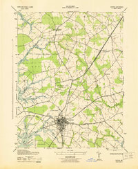
 1942 Easton1961 Print · USGSMaryland's Eastern Shore center at Easton is captured here during the early war years, showing a town integrated with its rail and river networks. Local historians can trace family locations at St Aubins Heights, Spring Hill Cem, and the historic waterfront at Easton Point.3 unique versions available
 - 1942 Map of Trappe, 1962 Print
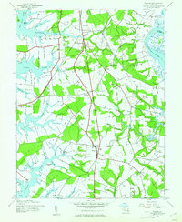 1942 Trappe1962 Print · USGSMaryland's Eastern Shore appears here in the early 1940s, showing a landscape defined by tidal necks and the Pennsylvania railroad. Genealogists and local historians can trace small settlements like Stumptown, rural sites such as Union Ch, and several family burial grounds including Merrick Cem.3 unique versions available
 - 1943 Map of Easton
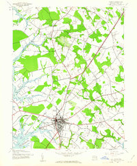
 1943 Easton1943 Print · USGSEaston and the surrounding Talbot County countryside are shown here during the early 1940s as the regional airport was first being built. Genealogists and local historians can trace the paths of the Pennsylvania Railroad and locate landmarks like All Saints Church, Chapel Cem, and Bloomfield.
 - 1943 Map of Trappe
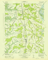 1943 Trappe1943 Print · USGSCoastal Talbot County in the early 1940s is mapped here in detail, showing a landscape of fertile necks and winding tidal creeks. Researchers can trace family roots at Union Church or Merrick Cemetery and locate rail history at Trappe Station.
 - 1948 Map of Washington
 1948 Washington1948 Print · USGSThe Potomac and Chesapeake regions in the late 1940s reveal a landscape of expanding military reach and deep-rooted Tidewater settlements. Trace old rail corridors like the Richmond Fredericksburg & Potomac RR or locate landmarks like the Wakefield Washington Monument and St. Marys College.2 unique versions available
 - 1957 Map of Washington, 1966 Print
 1957 Washington1966 Print · USGSThe mid-Atlantic region during the mid-fifties and early sixties reveals a landscape of growing suburbs and vital military outposts. Researchers can trace historic river towns and shorelines from Alexandria to the Hooper Islands and St Clements Island.5 unique versions available
 - 1961 Map of Washington
 1961 Washington1961 Print · USGSThe mid-Atlantic region in the late fifties is presented in remarkable detail, from the Blue Ridge foothills to the Chesapeake Eastern Shore. Researchers can trace historic river landings and military sites like Mount Vernon, Fort Belvoir, and Point Lookout.2 unique versions available
 - 1983 Map of Washington East, 1984 Print
 1983 Washington East1984 Print · USGSThe Chesapeake Bay region in the early eighties shows the Maryland capital and its suburbs meeting the maritime traditions of the Eastern Shore. Researchers can trace land patterns from Andrews Air Force Base to waterfront settlements like Oxford and Chesapeake Beach.2 unique versions available
 - 1988 Map of Trappe
 1988 Trappe1988 Print · USGSThe Eastern Shore of Maryland in the late eighties reveals a landscape of deep tidal necks and historic crossroads. Genealogists can trace family footprints at Ivytown, the Hole-in-the-Wall Cem, and the old maritime hub at Trappe Landing.
 - 1989 Map of Washington
 1989 Washington1989 Print · USGSThe Potomac River valley and Chesapeake Bay are shown in comprehensive detail during the late 1980s. Genealogists and historians can trace the transition from urban Alexandria to the rural Northern Neck, locating landmarks like Mount Vernon and Stratford Hall.
 - 2011 Map of Trappe, 2011 Print
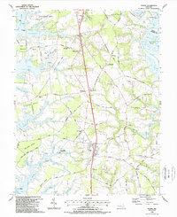
 2011 Trappe2011 Print · USGSCovers Easton, including Trappe, Manadier, and other nearby areas
 - 2011 Map of Easton, 2011 Print
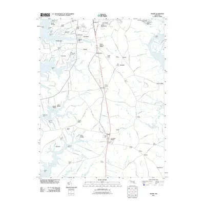
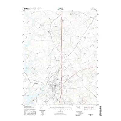
 2011 Easton2011 Print · USGSCovers Easton, including Old Villa, Talbot Mobile Home Park, and other nearby areas
 - 2014 Map of Easton, 2014 Print
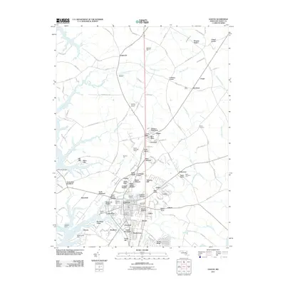
 2014 Easton2014 Print · USGSCovers Easton, including Old Villa, Talbot Mobile Home Park, and other nearby areas
 - 2014 Map of Trappe, 2014 Print
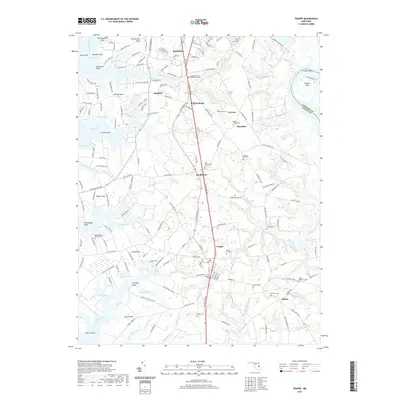
 2014 Trappe2014 Print · USGSCovers Easton, including Trappe, Manadier, and other nearby areas
 - 2016 Map of Trappe, 2016 Print
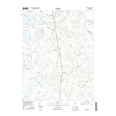 2016 Trappe2016 Print · USGSCovers Easton, including Trappe, Manadier, and other nearby areas
 - 2016 Map of Easton, 2016 Print
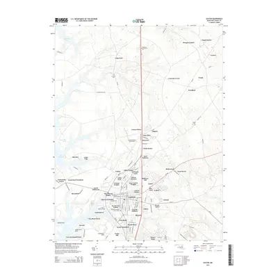
 2016 Easton2016 Print · USGSCovers Easton, including Old Villa, Talbot Mobile Home Park, and other nearby areas
 - 2019 Map of Trappe, 2019 Print
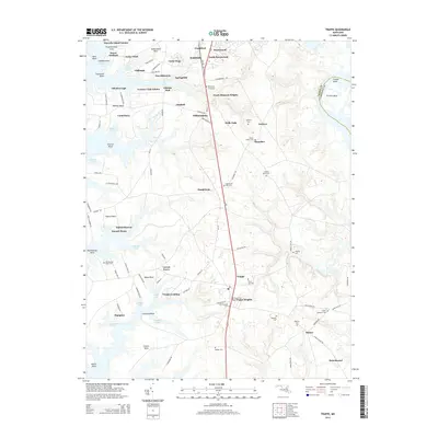
 2019 Trappe2019 Print · USGSCovers Easton, including Trappe, Manadier, and other nearby areas
 - 2019 Map of Easton, 2019 Print
 2019 Easton2019 Print · USGSCovers Easton, including Old Villa, Talbot Mobile Home Park, and other nearby areas
 - 2023 Map of Easton, 2023 Print
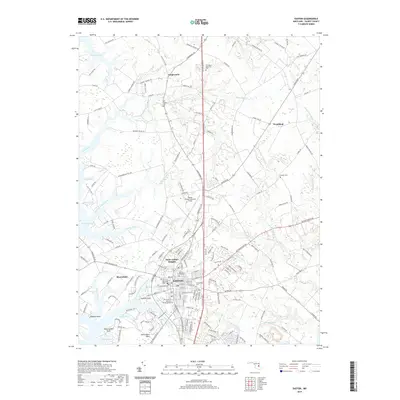
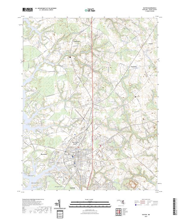 2023 Easton2023 Print · USGSCoastal Talbot County in 2023 shows a landscape shaped by the Tred Avon River and the enduring footprint of Easton. Researchers can trace local lineage through the Third Haven Meeting Burial Ground or explore the geography of Edmundson Neck and Easton Point.
 - 2023 Map of Trappe, 2023 Print
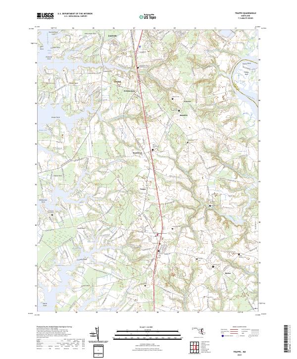 2023 Trappe2023 Print · USGSThe Eastern Shore of Maryland in 2023 reveals a landscape where historic crossroads and waterfront necks endure alongside modern thoroughfares. Researchers can trace family history through local landmarks like Old Whitemarsh Cem, Ivytown, and Little Round Top Church Graveyard.
End of results
Showing maps 1-24 of 24
Top cities near Easton
- Cambridge historical maps
- Denton historical maps
- Chester historical maps
- Grasonville historical maps
- Hurlock historical maps
- Ridgely historical maps
See more
Top neighborhoods of Easton
- Talbot Village historical maps
- Saint Aubins Heights historical maps
- South Pennsfield historical maps
- Calvert Terrace historical maps
- Carrolls Addition historical maps
- Third Haven Heights historical maps
See more
Frequently asked questions
- What are the different types of historical maps available for Easton?
- What is the oldest map of Easton?
- Where can I purchase historical maps of Easton for my home or office?
- Where can I download high-res historical maps of Easton?
- Are there historical topographic maps available for Easton?
- Is there historical aerial imagery available for Easton?
- Where are historical maps of Easton sourced from?