2000s (21st Century) Maps of Adams, Massachusetts
Explore 20 historic maps of Adams from the 2000s (21st Century). These maps offer a rare glimpse into what life looked like during the 2000s — showing old roads, neighborhoods, homes, and landmarks that have changed or disappeared over time.
Whether you're researching your family's past, planning a metal detecting trip, or studying how Adams's landscape evolved across the 2000s, these high-resolution maps are a powerful tool for exploring the history of this region.
- Focus on a specific era: All maps on this page are from the 2000s, giving you a focused view of this time period.
- See what’s changed: Compare century-old streets, trails, and buildings to today's modern landscape using overlays and satellite layers.
- Research with precision: Use these maps for genealogy, historical research, land use analysis, or educational projects.
- View, download, or print: Maps are fully viewable online in high resolution, and can be downloaded or printed for your own records.
Start exploring Adams's history through authentic maps from the 2000s. This is your window into the past.
Adams, MA maps
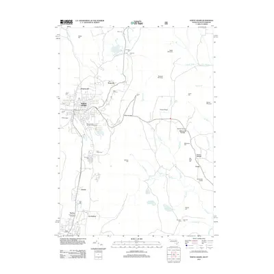
(20)- 2012 Map of Windsor, 2012 Print
 2012 Windsor2012 Print · USGSCovers Adams, including Dalton, Cheshire, and other nearby areas
 - 2012 Map of Cheshire, 2012 Print
 2012 Cheshire2012 Print · USGSCovers Adams, including Dalton, Cheshire, and other nearby areas
 - 2012 Map of North Adams, 2012 Print
 2012 North Adams2012 Print · USGSCovers Adams, including North Adams, Clarksburg, and other nearby areas
 - 2012 Map of Williamstown, 2012 Print
 2012 Williamstown2012 Print · USGSCovers Adams, including North Adams, Williamstown, and other nearby areas
 - 2015 Map of North Adams, 2015 Print
 2015 North Adams2015 Print · USGSCovers Adams, including North Adams, Clarksburg, and other nearby areas
 - 2015 Map of Cheshire, 2015 Print
 2015 Cheshire2015 Print · USGSCovers Adams, including Dalton, Cheshire, and other nearby areas
 - 2015 Map of Williamstown, 2015 Print
 2015 Williamstown2015 Print · USGSCovers Adams, including North Adams, Williamstown, and other nearby areas
 - 2015 Map of Windsor, 2015 Print
 2015 Windsor2015 Print · USGSCovers Adams, including Dalton, Cheshire, and other nearby areas
 - 2018 Map of Cheshire, 2018 Print
 2018 Cheshire2018 Print · USGSCovers Adams, including Dalton, Cheshire, and other nearby areas
 - 2018 Map of Windsor, 2018 Print
 2018 Windsor2018 Print · USGSCovers Adams, including Dalton, Cheshire, and other nearby areas
 - 2018 Map of Williamstown, 2018 Print
 2018 Williamstown2018 Print · USGSCovers Adams, including North Adams, Williamstown, and other nearby areas
 - 2018 Map of North Adams, 2018 Print
 2018 North Adams2018 Print · USGSCovers Adams, including North Adams, Clarksburg, and other nearby areas
 - 2021 Map of North Adams, 2021 Print
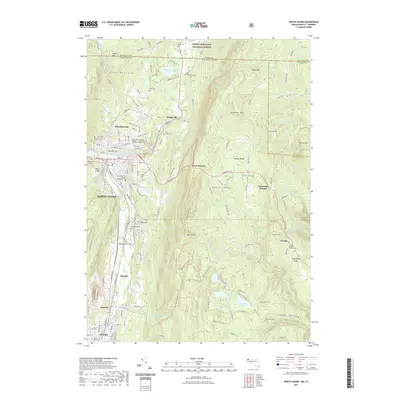 2021 North Adams2021 Print · USGSCovers Adams, including North Adams, Clarksburg, and other nearby areas
 - 2021 Map of Windsor, 2021 Print
 2021 Windsor2021 Print · USGSCovers Adams, including Dalton, Cheshire, and other nearby areas
 - 2021 Map of Cheshire, 2021 Print
 2021 Cheshire2021 Print · USGSCovers Adams, including Dalton, Cheshire, and other nearby areas
 - 2021 Map of Williamstown, 2021 Print
 2021 Williamstown2021 Print · USGSCovers Adams, including North Adams, Williamstown, and other nearby areas
 - 2024 Map of Windsor, 2024 Print
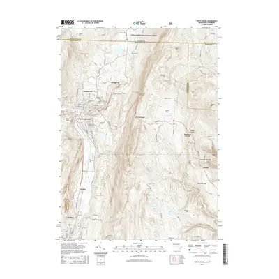
 2024 Windsor2024 Print · USGSThe high Berkshire hill country of Windsor and Savoy is shown here in the 2020s, defined by the mountain ridges of the Hoosac Range. Genealogists and hikers can trace old routes to The Tomb Cem, Little Egypt, and the Westfield Wild and Scenic River.
 - 2024 Map of Williamstown, 2024 Print
 2024 Williamstown2024 Print · USGSThe Berkshires meet the Vermont border in this modern survey of the Hoosic River valley. Genealogists and local historians can trace burial sites from Westlawn Cemetery to Southlawn Cem while exploring the high peaks of Mt Greylock and the campus of Williams College.
 - 2024 Map of Cheshire, 2024 Print
 2024 Cheshire2024 Print · USGSBerkshire County at the edge of the Greylock Range is showcased here in the contemporary era. Researchers can trace family sites near Riverside Cem and Lanesborough, or follow the path of the Ashuwillticook Rail Trl through Cheshire.
 - 2024 Map of North Adams, 2024 Print
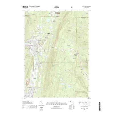
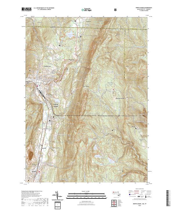 2024 North Adams2024 Print · USGSNorth Adams and the northern Berkshires are captured in this modern survey of the Hoosic River valley. Genealogists and researchers can trace local landmarks like Saint Josephs Cem, the Natural Bridge of New England, and the village of Zylonite.
End of results
Showing maps 1-20 of 20
Top cities near Adams
- Pittsfield historical maps
- North Adams historical maps
- Bennington historical maps
- Williamstown historical maps
- Hoosick historical maps
- Dalton historical maps
See more
Top neighborhoods of Adams
- Maple Grove historical maps
- East Renfrew historical maps
- Bowens Corners historical maps
- Little Egypt historical maps
- Zylonite historical maps
- Summer Street Historic District historical maps
Frequently asked questions
- What are the different types of historical maps available for Adams?
- What is the oldest map of Adams?
- Where can I purchase historical maps of Adams for my home or office?
- Where can I download high-res historical maps of Adams?
- Are there historical topographic maps available for Adams?
- Is there historical aerial imagery available for Adams?
- Where are historical maps of Adams sourced from?