2000s (21st Century) Maps of Marlborough, Massachusetts
Explore 25 historic maps of Marlborough from the 2000s (21st Century). These maps offer a rare glimpse into what life looked like during the 2000s — showing old roads, neighborhoods, homes, and landmarks that have changed or disappeared over time.
Whether you're researching your family's past, planning a metal detecting trip, or studying how Marlborough's landscape evolved across the 2000s, these high-resolution maps are a powerful tool for exploring the history of this region.
- Focus on a specific era: All maps on this page are from the 2000s, giving you a focused view of this time period.
- See what’s changed: Compare century-old streets, trails, and buildings to today's modern landscape using overlays and satellite layers.
- Research with precision: Use these maps for genealogy, historical research, land use analysis, or educational projects.
- View, download, or print: Maps are fully viewable online in high resolution, and can be downloaded or printed for your own records.
Start exploring Marlborough's history through authentic maps from the 2000s. This is your window into the past.
Marlborough, MA maps
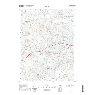
(25)- 2012 Map of Framingham, 2012 Print
 2012 Framingham2012 Print · USGSCovers Marlborough, including Framingham, Natick, and other nearby areas
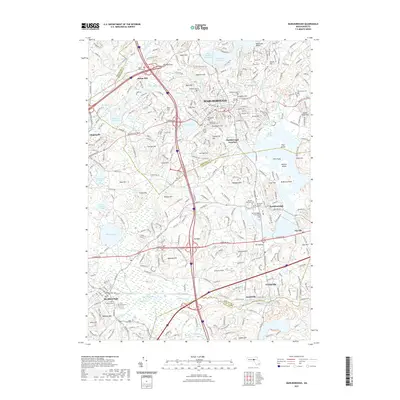
 - 2012 Map of Shrewsbury, 2012 Print
 2012 Shrewsbury2012 Print · USGSCovers Marlborough, including Worcester, Shrewsbury, and other nearby areas
 - 2012 Map of Hudson, 2012 Print
 2012 Hudson2012 Print · USGSCovers Marlborough, including Hudson, Harvard, and other nearby areas
 - 2012 Map of Maynard, 2012 Print
 2012 Maynard2012 Print · USGSCovers Marlborough, including Acton, Hudson, and other nearby areas
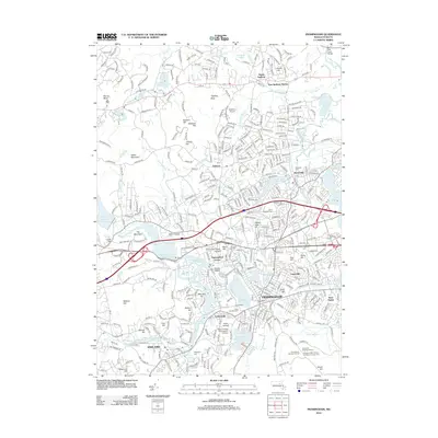
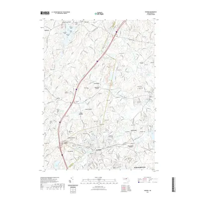
 - 2012 Map of Marlborough, 2012 Print
 2012 Marlborough2012 Print · USGSCovers Marlborough, including Hudson, Westborough, and other nearby areas
 - 2015 Map of Shrewsbury, 2015 Print
 2015 Shrewsbury2015 Print · USGSCovers Marlborough, including Worcester, Shrewsbury, and other nearby areas
 - 2015 Map of Hudson, 2015 Print
 2015 Hudson2015 Print · USGSCovers Marlborough, including Hudson, Harvard, and other nearby areas
 - 2015 Map of Marlborough, 2015 Print
 2015 Marlborough2015 Print · USGSCovers Marlborough, including Hudson, Westborough, and other nearby areas
 - 2015 Map of Maynard, 2015 Print
 2015 Maynard2015 Print · USGSCovers Marlborough, including Acton, Hudson, and other nearby areas
 - 2015 Map of Framingham, 2015 Print
 2015 Framingham2015 Print · USGSCovers Marlborough, including Framingham, Natick, and other nearby areas
 - 2018 Map of Marlborough, 2018 Print
 2018 Marlborough2018 Print · USGSCovers Marlborough, including Hudson, Westborough, and other nearby areas
 - 2018 Map of Shrewsbury, 2018 Print
 2018 Shrewsbury2018 Print · USGSCovers Marlborough, including Worcester, Shrewsbury, and other nearby areas
 - 2018 Map of Framingham, 2018 Print
 2018 Framingham2018 Print · USGSCovers Marlborough, including Framingham, Natick, and other nearby areas
 - 2018 Map of Hudson, 2018 Print
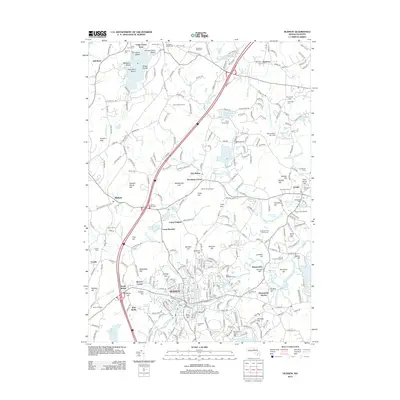
 2018 Hudson2018 Print · USGSCovers Marlborough, including Hudson, Harvard, and other nearby areas
 - 2018 Map of Maynard, 2018 Print
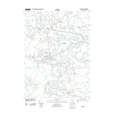
 2018 Maynard2018 Print · USGSCovers Marlborough, including Acton, Hudson, and other nearby areas
 - 2021 Map of Hudson, 2021 Print
 2021 Hudson2021 Print · USGSCovers Marlborough, including Hudson, Harvard, and other nearby areas
 - 2021 Map of Marlborough, 2021 Print
 2021 Marlborough2021 Print · USGSCovers Marlborough, including Hudson, Westborough, and other nearby areas
 - 2021 Map of Framingham, 2021 Print
 2021 Framingham2021 Print · USGSCovers Marlborough, including Framingham, Natick, and other nearby areas
 - 2021 Map of Shrewsbury, 2021 Print
 2021 Shrewsbury2021 Print · USGSCovers Marlborough, including Worcester, Shrewsbury, and other nearby areas
 - 2021 Map of Maynard, 2021 Print
 2021 Maynard2021 Print · USGSCovers Marlborough, including Acton, Hudson, and other nearby areas
 - 2024 Map of Framingham, 2024 Print
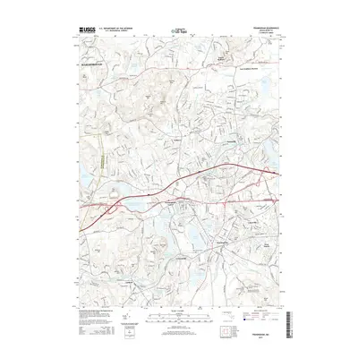
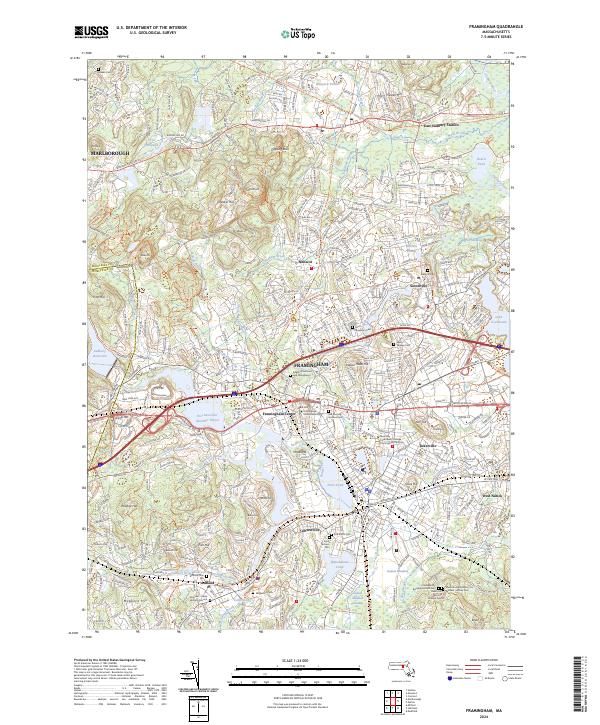 2024 Framingham2024 Print · USGSFramingham and the surrounding Middlesex County townships are shown in the twenty-first century, revealing a landscape defined by education, rail history, and conservation. Researchers can trace local lineage at Edgell Grove Cem or follow the Mass Central/Wayside Rail Trl through Saxonville.
 - 2024 Map of Hudson, 2024 Print
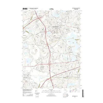
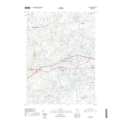
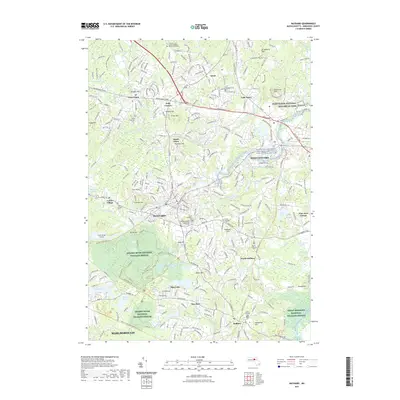
 2024 Hudson2024 Print · USGSThe Hudson and Bolton area of Massachusetts is mapped here in the early twenty-first century, showing a landscape rich in rail history and conservation. Researchers can trace historic cemeteries like Old South Burial Ground and early transit lines including the Assabet River Rail Trl.
 - 2024 Map of Shrewsbury, 2024 Print
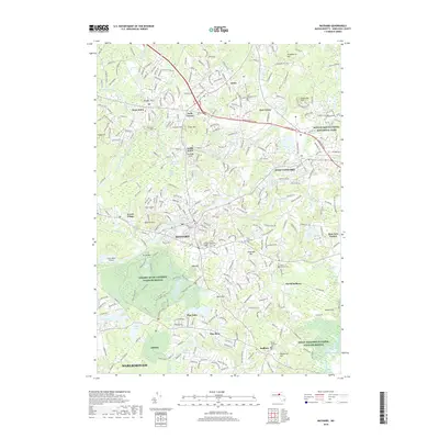
 2024 Shrewsbury2024 Print · USGSThe Worcester hills come into focus in this contemporary survey of Boylston Center and Shrewsbury. Genealogists and historians can locate several specific burial grounds like the Old Burial Ground Cem, Johnson Family Cem, and Howard Street Cem.
 - 2024 Map of Maynard, 2024 Print
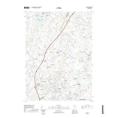
 2024 Maynard2024 Print · USGSMiddlesex County's mill-town history and colonial heritage are preserved in this detailed survey of the Assabet River valley. Genealogists and historians can trace family roots through the Revolutionary War Cem, Saint Bridget's Cem, and the James Chandler Gravesite.
 - 2024 Map of Marlborough, 2024 Print
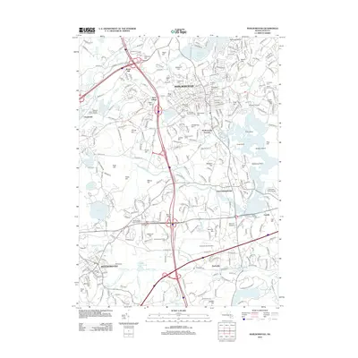
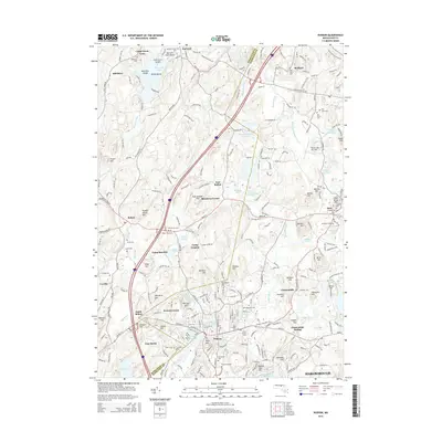
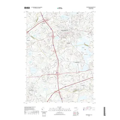
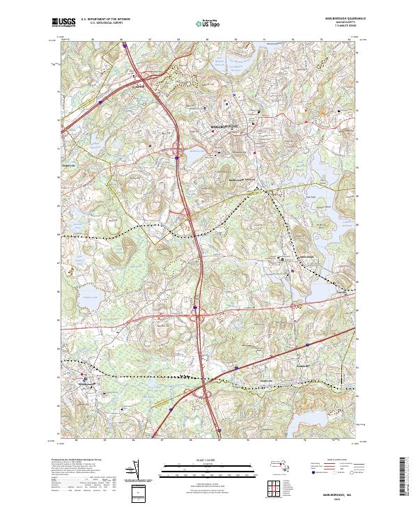 2024 Marlborough2024 Print · USGSThe crossroads of Middlesex and Worcester counties are shown here in 2024, centered on the hills and reservoirs of the Metrowest region. Genealogists and local historians can trace legacy sites like the Old Burial Ground, Maplewood Cem, and the historic Boston Post Rd.
End of results
Showing maps 1-25 of 25
Top cities near Marlborough
- Worcester historical maps
- Framingham historical maps
- Leominster historical maps
- Fitchburg historical maps
- Billerica historical maps
- Chelmsford historical maps
See more
Top neighborhoods of Marlborough
Frequently asked questions
- What are the different types of historical maps available for Marlborough?
- What is the oldest map of Marlborough?
- Where can I purchase historical maps of Marlborough for my home or office?
- Where can I download high-res historical maps of Marlborough?
- Are there historical topographic maps available for Marlborough?
- Is there historical aerial imagery available for Marlborough?
- Where are historical maps of Marlborough sourced from?