Old Maps of Spencer, Massachusetts for Genealogy
Trace your family roots with 73 historic maps of Spencer. These high-res maps reveal old neighborhoods, homesites, landmarks, and streets — helping you uncover where your ancestors lived and how the area evolved over time.
- Explore historic neighborhoods: Identify where your relatives may have lived in the 1800s or 1900s.
- Compare maps over time: Trace the changes in streets, buildings, and landmarks for multi-generational research.
- Perfect for genealogy & ancestry research: Used by family historians and researchers to map out lineage and migration.
These maps are an incredible resource for exploring your personal connection to Spencer's past.
Spencer, MA maps
(73)- 1885 Map of Worcester
 1885 Worcester1885 Print · USGSWorcester and its surrounding mill towns are captured here in the late nineteenth century during a peak era of rail expansion and industrial growth. Researchers can trace ancestral roots through specific local hubs like Wire Village, the Sterling Camp Grounds, and the grounds of the State Lunatic Hospital.
 - 1886 Map of Worcester
 1886 Worcester1886 Print · USGSWorcester and its surrounding hill towns are captured here in the mid-1880s, revealing a landscape of early industrial hamlets and expanding rail lines. Genealogists and local historians can trace the foundations of the State Lunatic Hospital or locate historic settlements like Quinapoxet Village and Wire Village.
 - 1887 Map of Brookfield
 1887 Brookfield1887 Print · USGSWorcester County is shown in the late nineteenth century as a hub of manufacturing villages and developing rail lines. Genealogists can trace family roots through settlements like Fiskdale, Leadmine, and Sandersdale, or locate landmarks such as Steerage Rock.
 - 1887 Map of Barre
 1887 Barre1887 Print · USGSWorcester County at the turn of the century shows a landscape defined by the convergence of rail lines and river power. Genealogists and local researchers can trace the early industrial footprints of Old Furnace, Parkers Mills, and the rail junction at Cold Brook Springs.
 - 1889 Map of Webster
 1889 Webster1889 Print · USGSSouthern Worcester County and the Connecticut borderlands are shown here in the 1880s, when textile power and steam rail defined the region. Local historians can trace the early layouts of Webster, Oxford, and Rochdale, along with family landmarks like Mugget Hill.
 - 1889 Map of Barre
 1889 Barre1889 Print · USGSWorcester County in the late nineteenth century is a landscape of thriving mill villages and intersecting rail lines. Trace the industrial roots of Gilbertville and Old Furnace or locate family homesteads near Mandell and Nichewaug.
 - 1890 Map of Brookfield
 1890 Brookfield1890 Print · USGSCentral Massachusetts and the Connecticut border lands are captured here in the late nineteenth century, showing a landscape defined by water power and rail. You can trace the Boston and Albany Railroad corridor and explore industrial pockets like Globe Village and the historic Leadmine site.
 - 1892 Map of Webster
 1892 Webster1892 Print · USGSWorcester County mill towns and rail junctions thrive in the 1890s as industrial centers along the French River. Genealogists and historians can trace the early footprints of Webster and Oxford, including vanished clusters like Merino Village and Chaseville.9 unique versions available
 - 1892 Map of Worcester
 1892 Worcester1892 Print · USGSWorcester and its northern hill towns are captured here in the late nineteenth century before the expansion of modern reservoirs. Researchers can trace the early rail networks through Sterling Junction or locate landmarks like the State Lunatic Hospital and Wire Village.10 unique versions available
 - 1893 Map of Brookfield
 1893 Brookfield1893 Print · USGSCentral Massachusetts in the late 1800s was a landscape defined by bustling mill towns and the critical Boston and Albany Railroad corridor. Genealogists can trace family roots in early industrial centers like Fiskdale and Westville or locate the old Lead Mine near Holland.7 unique versions available
 - 1894 Map of Barre
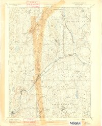 1894 Barre1894 Print · USGSWorcester County in the late nineteenth century is defined here by its bustling river towns and the convergence of two major rail lines. Researchers can trace ancestral roots through family-named landmarks like Hawes Hill or explore the early industrial layout of Old Furnace and Barre Plains.7 unique versions available
 - 1908 Map of Quinsigamond
 1908 Quinsigamond1908 Print · USGSCentral Massachusetts and its bordering states are seen here in the early twentieth century as industry and transit reshaped the Blackstone Valley. Genealogists and historians can trace the early footprints of Worcester, the expansion of the Wachusett Reservoir, and rail lines like the Boston and Albany Railroad.3 unique versions available
 - 1908 Map of Ware
 1908 Ware1908 Print · USGSCentral Massachusetts at the turn of the century reveals the Swift River Valley decades before the Quabbin Reservoir changed the landscape forever. Trace the lost footprints of Enfield and Dana, or follow the Central Vermont RR through Greenwich Village and Ware.2 unique versions available
 - 1915 Map of Brookfield
 1915 Brookfield1915 Print · USGSCentral Massachusetts and the Connecticut border are captured in the final months of the pre-war era, showing a dense network of textile villages and rail lines. Genealogists and local historians can trace the growth of Southbridge or locate landmarks like the Electric Power Relay Station and Lead Mine Mountain.
 - 1921 Map of Brookfield
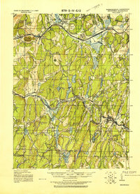 1921 Brookfield1921 Print · USGSMassachusetts and Connecticut borderlands appear here in the early twentieth century as a complex landscape of hill farms, industrial villages, and rail corridors. Genealogists can locate family landmarks like Foster Hill or trace the early industrial footprint of Leadmine and the Boston and Albany Railroad.
 - 1921 Map of Webster
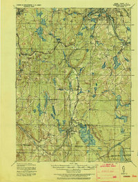 1921 Webster1921 Print · USGSThe industrial valleys and hill towns of southern Worcester County are seen here just after the Great War. Genealogists can trace the rail-centered growth of Webster and Auburn Sta. or locate old village centers like Cherry Valley and Rochdale.
 - 1937 Map of Leicester
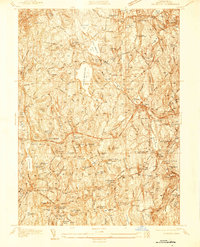 1937 Leicester1937 Print · USGSWorcester County's industrial villages and highland farms are captured in detail just before the late-century expansion. Genealogists can trace family sites like the Clark Barton Home, Gore Cem, and the specialized Charlton Home Farm.
 - 1937 Map of Paxton
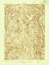 1937 Paxton1937 Print · USGSWorcester County's upland terrain is captured here in the late 1930s, featuring a landscape of hill-top settlements and industrial hamlets. Genealogists and historians can trace the foundations of Upper Wire Village, locate the Veterans Hospital, or explore the shores of Lake Whittemore.
 - 1941 Map of Leicester
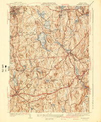 1941 Leicester1941 Print · USGSCentral Massachusetts in the late 1930s reveals a network of mill ponds and historic settlements between Spencer and Auburn. Genealogists can locate family sites near the Clara Barton Home, Pine Grove Cem, and the Masonic Home.2 unique versions available
 - 1941 Map of Paxton
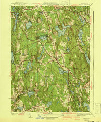 1941 Paxton1941 Print · USGSPaxton and the high country of Worcester County are captured here in the early 1940s, showing a region of reservoirs and rural industry. Genealogists can locate family landmarks at Tafts Corner or trace the early industrial sites of Upper Wire Village.3 unique versions available
 - 1942 Map of Ware
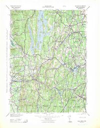 1942 Ware1942 Print · USGSCentral Massachusetts and the Connecticut border are captured here during the early years of the war, just as the landscape was being reshaped by the Quabbin Reservoir. Researchers can trace rail-era industry and local landmarks like the Lead Mine and the Bald Peak Hospital.
 - 1943 Map of Brookfield
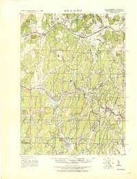 1943 Brookfield1943 Print · USGSCentral Massachusetts at the height of the war era shows a landscape of busy rail towns and upland ponds. Genealogists and historians can trace family-named peaks like Coys Hill and old industry along the Boston and Albany RR or near Southbridge.
 - 1943 Map of Quinsigamond
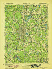 1943 Quinsigamond1943 Print · USGSCentral Massachusetts and its bordering states appear here during the Second World War as a powerhouse of rail infrastructure and public institutions. Researchers can trace the legacy of the region through landmarks like Grafton State Hospital, the Wachusett Reservoir, and the deep industrial roots of the Blackstone River.
 - 1946 Map of East Brookfield
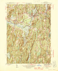 1946 East Brookfield1946 Print · USGSCentral Massachusetts in the late 1940s reveals a region of interconnected mill towns and expansive glacial lakes. You can trace the path of the Boston and Albany RR through East Brookfield or locate family sites near Podunk Cem and Sibley.2 unique versions available
 - 1946 Map of North Brookfield
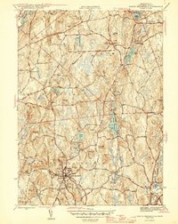 1946 North Brookfield1946 Print · USGSWorcester County townships like North Brookfield and Hillsville are captured here just after the war, showing a landscape defined by industry and agriculture. Researchers can locate family landmarks including Pine Grove Cem, Port Hill Sch, and the Boston and Albany RR line.2 unique versions available
Showing maps 1-25 of 73
Top cities near Spencer
- Worcester historical maps
- Shrewsbury historical maps
- Webster historical maps
- Southbridge historical maps
- Holden historical maps
- Auburn historical maps
See more
Top neighborhoods of Spencer
- South Spencer historical maps
- North Spencer historical maps
- Camp Neyati historical maps
- Lower Wire Village historical maps
- Tafts Corner historical maps
- Upper Wire Village historical maps
See more
Frequently asked questions
- What are the different types of historical maps available for Spencer?
- What is the oldest map of Spencer?
- Where can I purchase historical maps of Spencer for my home or office?
- Where can I download high-res historical maps of Spencer?
- Are there historical topographic maps available for Spencer?
- Is there historical aerial imagery available for Spencer?
- Where are historical maps of Spencer sourced from?