2000s (21st Century) Maps of Sturbridge, Massachusetts
Explore 20 historic maps of Sturbridge from the 2000s (21st Century). These maps offer a rare glimpse into what life looked like during the 2000s — showing old roads, neighborhoods, homes, and landmarks that have changed or disappeared over time.
Whether you're researching your family's past, planning a metal detecting trip, or studying how Sturbridge's landscape evolved across the 2000s, these high-resolution maps are a powerful tool for exploring the history of this region.
- Focus on a specific era: All maps on this page are from the 2000s, giving you a focused view of this time period.
- See what’s changed: Compare century-old streets, trails, and buildings to today's modern landscape using overlays and satellite layers.
- Research with precision: Use these maps for genealogy, historical research, land use analysis, or educational projects.
- View, download, or print: Maps are fully viewable online in high resolution, and can be downloaded or printed for your own records.
Start exploring Sturbridge's history through authentic maps from the 2000s. This is your window into the past.
Sturbridge, MA maps
(20)- 2012 Map of Warren, 2012 Print
 2012 Warren2012 Print · USGSCovers Sturbridge, including Palmer, Ware, and other nearby areas
 - 2012 Map of Southbridge, 2012 Print
 2012 Southbridge2012 Print · USGSCovers Sturbridge, including Southbridge, Charlton, and other nearby areas
 - 2012 Map of Wales, 2012 Print
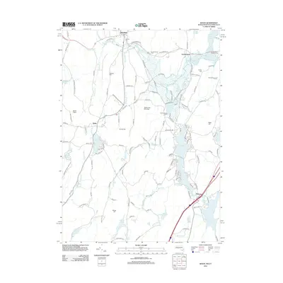 2012 Wales2012 Print · USGSCovers Sturbridge, including Stafford, Brimfield, and other nearby areas
 - 2012 Map of East Brookfield, 2012 Print
 2012 East Brookfield2012 Print · USGSCovers Sturbridge, including Charlton, Spencer, and other nearby areas
 - 2015 Map of Southbridge, 2015 Print
 2015 Southbridge2015 Print · USGSCovers Sturbridge, including Southbridge, Charlton, and other nearby areas
 - 2015 Map of Wales, 2015 Print
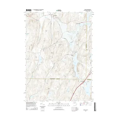 2015 Wales2015 Print · USGSCovers Sturbridge, including Stafford, Brimfield, and other nearby areas
 - 2015 Map of Warren, 2015 Print
 2015 Warren2015 Print · USGSCovers Sturbridge, including Palmer, Ware, and other nearby areas
 - 2015 Map of East Brookfield, 2015 Print
 2015 East Brookfield2015 Print · USGSCovers Sturbridge, including Charlton, Spencer, and other nearby areas
 - 2018 Map of Southbridge, 2018 Print
 2018 Southbridge2018 Print · USGSCovers Sturbridge, including Southbridge, Charlton, and other nearby areas
 - 2018 Map of East Brookfield, 2018 Print
 2018 East Brookfield2018 Print · USGSCovers Sturbridge, including Charlton, Spencer, and other nearby areas
 - 2018 Map of Warren, 2018 Print
 2018 Warren2018 Print · USGSCovers Sturbridge, including Palmer, Ware, and other nearby areas
 - 2018 Map of Wales, 2018 Print
 2018 Wales2018 Print · USGSCovers Sturbridge, including Stafford, Brimfield, and other nearby areas
 - 2021 Map of Southbridge, 2021 Print
 2021 Southbridge2021 Print · USGSCovers Sturbridge, including Southbridge, Charlton, and other nearby areas
 - 2021 Map of Wales, 2021 Print
 2021 Wales2021 Print · USGSCovers Sturbridge, including Stafford, Brimfield, and other nearby areas
 - 2021 Map of East Brookfield, 2021 Print
 2021 East Brookfield2021 Print · USGSCovers Sturbridge, including Charlton, Spencer, and other nearby areas
 - 2021 Map of Warren, 2021 Print
 2021 Warren2021 Print · USGSCovers Sturbridge, including Palmer, Ware, and other nearby areas
 - 2024 Map of Southbridge, 2024 Print
 2024 Southbridge2024 Print · USGSSouthbridge and Sturbridge are mapped here in the modern day, showing the deep-rooted industrial and social history of the Quinebaug River valley. Trace family history through numerous sites like Oak Ridge Cem or the path of the Grand Trunk Trail.
 - 2024 Map of East Brookfield, 2024 Print
 2024 East Brookfield2024 Print · USGSThe interconnected waters and hill country of Worcester County are seen here in the mid-2020s. Genealogists and historians can trace local roots through landmarks like Podunk Cem, Union Chapel, and the settlement at South Spencer.
 - 2024 Map of Warren, 2024 Print
 2024 Warren2024 Print · USGSThe industrial river valleys of central Massachusetts come to life in this survey of Warren and West Warren. Researchers can trace local history through sites like the Old Indian Cem, the Marks Garrison landmark, and the banks of the Quaboag River.
 - 2024 Map of Wales, 2024 Print
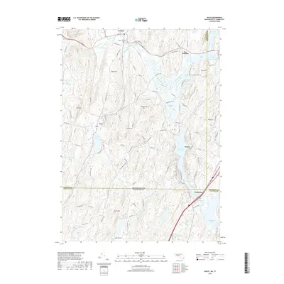
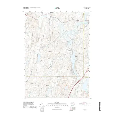
 2024 Wales2024 Print · USGSHampden County and the Connecticut borderlands are revealed in this modern survey of rural towns and reservoir systems. Genealogists can locate family names on landmarks like Burley Hill or find ancestral sites at Brimfield Cem and the village of Holland.
End of results
Showing maps 1-20 of 20
Top cities near Sturbridge
- Worcester historical maps
- Webster historical maps
- Killingly historical maps
- Southbridge historical maps
- Holden historical maps
- Auburn historical maps
See more
Top neighborhoods of Sturbridge
- Westville historical maps
- Fiskdale historical maps
- Sturbridge Common Historic District historical maps
Frequently asked questions
- What are the different types of historical maps available for Sturbridge?
- What is the oldest map of Sturbridge?
- Where can I purchase historical maps of Sturbridge for my home or office?
- Where can I download high-res historical maps of Sturbridge?
- Are there historical topographic maps available for Sturbridge?
- Is there historical aerial imagery available for Sturbridge?
- Where are historical maps of Sturbridge sourced from?