Old Maps of Burt Township, Michigan for Hiking & Exploration
Hike through history with 65 historic maps of Burt Township. Explore old trails, ghost towns, and forgotten backroads — perfect for outdoor adventurers and local explorers.
- Rediscover forgotten places: Map out old mining camps, roads, and footpaths that no longer exist on modern maps.
- Layer with modern tools: Combine with LiDAR or satellite views to plan hikes through historical terrain.
- Made for exploration: Popular among hikers, overlanders, and local history lovers.
Use these maps to find adventure and explore the hidden past of Burt Township.
Burt Township, MI maps
(65)- 1954 Map of Sault Sainte Marie, 1979 Print
 1954 Sault Sainte Marie1979 Print · USGSThe Eastern Upper Peninsula and Ontario borderlands are captured here at the height of the mid-century era. Family historians can trace settlements like Grand Marais and Stalwart, while mapping the strategic grounds of Kincheloe AFB.3 unique versions available
 - 1956 Map of Sault Sainte Marie, 1964 Print
 1956 Sault Sainte Marie1964 Print · USGSThe Eastern Upper Peninsula and the Canadian border meet in this mid-sixties survey of the bustling Soo Locks region. Genealogists and historians can trace the paths of the Soo Line and locate lakeside communities from Grand Marais to Shelldrake.2 unique versions available
 - 1957 Map of Sault Sainte Marie
 1957 Sault Sainte Marie1957 Print · USGSThe Upper Peninsula and Ontario border come alive in this mid-century portrait of the eastern Lake Superior shoreline and the vital St. Marys River corridor. Genealogists and historians can trace rail-era settlements from Newberry to Detour, while locating military landmarks like Kinross Air Force Base.
 - 1958 Map of Sault Sainte Marie
 1958 Sault Sainte Marie1958 Print · USGSThe eastern Upper Peninsula and the Canadian borderland appear here during the late fifties, a time of military growth and forest management. Researchers can locate vanished rail stops along the Soo Line, early sites like the Fiborn Quarry, and the sprawling Kinross Air Force Base.
 - 1958 Map of Grand Portal Point, 1959 Print
 1958 Grand Portal Point1959 Print · USGSThe Lake Superior shoreline in the late fifties reveals a wilderness of dramatic coastal features and inland lakes. Researchers can trace the drainage of the Mosquito River and locate landmarks like Chapel Rock and the Buck Hill Lookout Tower.2 unique versions available
 - 1958 Map of Marquette, 1968 Print
 1958 Marquette1968 Print · USGSThe Upper Peninsula’s central corridor is captured here in the mid-twentieth century as mining and timber industries thrived alongside new military installations. Genealogists and historians can trace the rail lines of the Soo Line Railroad through settlements like Gwinn, Turin, and Chatham.2 unique versions available
 - 1960 Map of Marquette
 1960 Marquette1960 Print · USGSUpper Peninsula mining and maritime commerce reach their peak in the late fifties across the Lake Superior shoreline. Genealogists and historians can locate remote settlements like Big Bay and Dukes, while tracing the Cyr Mine and the active rail lines of the Lake Superior and Ishpeming railroad.
 - 1961 Map of Marquette
 1961 Marquette1961 Print · USGSUpper Peninsula life in the early sixties centered on the iron docks and timber stands of the Lake Superior shore. Genealogists and historians can trace rail-to-port connections via the Lake Superior and Ishpeming Railroad and locate active sites like Republic Mine or the K.I. Sawyer Air Force Base.
 - 1966 Map of Au Sable Point SE, 1968 Print
 1966 Au Sable Point SE1968 Print · USGSUpper Peninsula timberlands and glacial lakes are documented here in the mid-1960s as federal protection expanded. Researchers can trace the Old Railroad Grade and Adams Trail or locate remote sites like the Gypsy Lake Lookout Tower and Green Haven.2 unique versions available
 - 1966 Map of Grand Sable Lake, 1968 Print
 1966 Grand Sable Lake1968 Print · USGSAlong the Lake Superior shoreline in the mid-1960s, this area shows the early footprint of a national preserve. Researchers can trace the Grand Sable Dunes and local landmarks like Sable Falls and Grand Sable Lake.
 - 1966 Map of Au Sable Point, 1968 Print
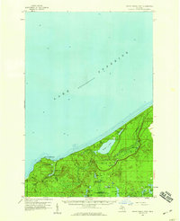
 1966 Au Sable Point1968 Print · USGSThe Lake Superior shoreline of Alger County is captured in the mid-sixties, just as the national lakeshore was being established. Researchers can locate the iconic Au Sable Point Lighthouse, the winding Hurricane River, and the wooded Grand Sable State Forest.2 unique versions available
 - 1966 Map of Au Sable Point SW, 1968 Print
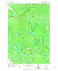
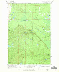
 1966 Au Sable Point SW1968 Print · USGSThe Upper Peninsula wilderness of the mid-sixties is preserved here, showing the intersection of new conservation lands and traditional forest tracts. Researchers can trace historic routes like the Au Sable Point Trail across the Kingston Plains and locate dozens of named water bodies from Kingston Lake to Pelican Lake.2 unique versions available
 - 1968 Map of Nawakwa Lake, 1970 Print
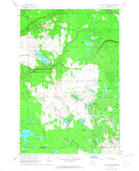
 1968 Nawakwa Lake1970 Print · USGSThe Upper Peninsula interior comes to life in the late 1960s, showing a vast wooded terrain punctuated by glacial lakes and old logging routes. You can trace the Old Railroad Grade or locate remote camps near Nawakwa Lake and Lavender Corner.
 - 1968 Map of Grand Marais SE, 1970 Print
 1968 Grand Marais SE1970 Print · USGSThe Upper Peninsula wilderness of the late sixties is mapped here along the shoreline of Lake Superior. Researchers can trace the winding paths of the North Branch Two Hearted River or locate remote landmarks like Dillingham Lake and Wheeler Lake.
 - 1968 Map of Grand Marais, 1970 Print
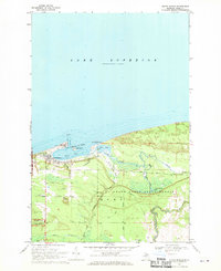 1968 Grand Marais1970 Print · USGSGrand Marais and the Alger County shoreline appear in the late sixties as a vital Upper Peninsula harbor and forest gateway. Researchers can trace the Old Railroad Grade and find historic landmarks like the Radio Towers Coast Guard Station and Woodland Park.
 - 1968 Map of Grand Marais NE, 1970 Print
 1968 Grand Marais NE1970 Print · USGSThe Lake Superior shoreline in Luce County is captured here in the late sixties, showcasing a landscape of managed forests and winding waterways. Researchers can trace the network of a Truck Trail and Jeep Trail leading to the Blind Sucker Flooding and Lake Superior Campground.
 - 1968 Map of Marquette, 1977 Print
 1968 Marquette1977 Print · USGSThe Upper Peninsula iron range and Lake Superior coastline are captured here in the late sixties. Genealogists and historians can trace the rail-to-port infrastructure and the Cold War presence of K I Sawyer Air Force Base alongside towns like Ishpeming and Munising.
 - 1983 Map of Trappers Lake, 1984 Print
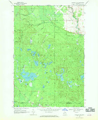
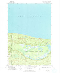
 1983 Trappers Lake1984 Print · USGSThe Lake Superior shoreline and Pictured Rocks backcountry are preserved here in the early 1980s. Researchers can trace the network of old woods routes and trails, including Adams Trail, and locate remote landmarks like Buck Hill and Trappers Lake.
 - 1984 Map of Au Sable Point, 1985 Print
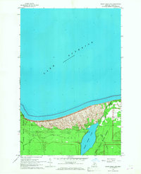
 1984 Au Sable Point1985 Print · USGSThe Lake Superior shoreline in the mid-1980s reveals the vast protected reaches of the Upper Peninsula. Trace maritime history through the Au Sable Point Lighthouse and explore the inland timber legacy along the Old Grade Railroad.2 unique versions available
 - 1985 Map of Two Hearted River
 1985 Two Hearted River1985 Print · USGSThe Lake Superior coast of the Upper Peninsula is shown here during the mid-1980s, stretching from the Sucker River to Whitefish Bay. Researchers can trace remote logging grades and find small settlements such as Deer Park, Emerson, and the notable Pine Stump Junction.2 unique versions available
 - 2011 Map of Trappers Lake, 2011 Print
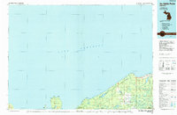
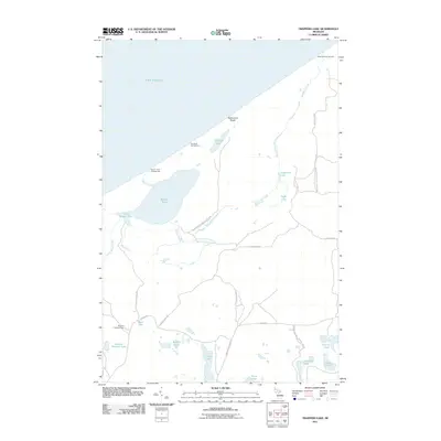 2011 Trappers Lake2011 Print · USGSCovers Burt Township, including Hiawatha Township, Munising Township, and other nearby areas
 - 2011 Map of Grand Marais, 2011 Print
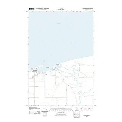 2011 Grand Marais2011 Print · USGSCovers Burt Township, including Grand Marais, Alger County, and other nearby areas
 - 2011 Map of Au Sable Point SW, 2011 Print
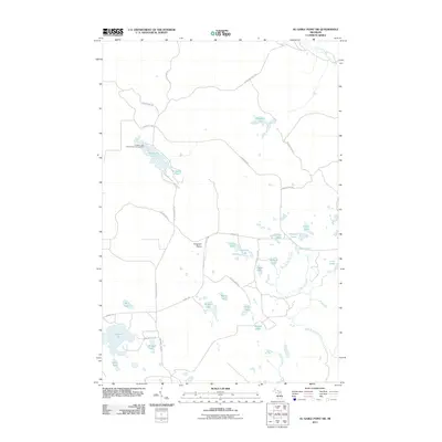 2011 Au Sable Point SW2011 Print · USGSCovers Burt Township, including Hiawatha Township, Seney Township, and other nearby areas
 - 2011 Map of Au Sable Point, 2011 Print
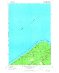
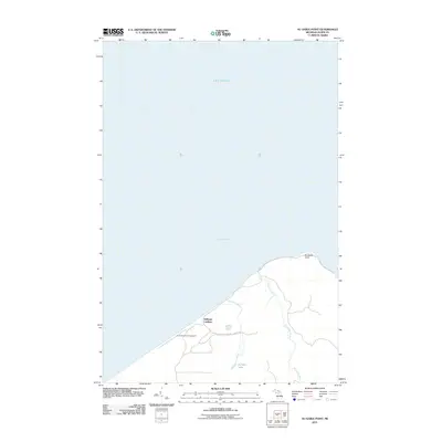 2011 Au Sable Point2011 Print · USGSCovers Burt Township, including Sullivans Landing, Alger County, and other nearby areas
 - 2011 Map of Au Sable Point SE, 2011 Print
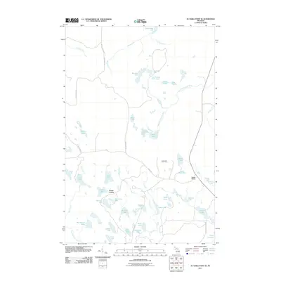 2011 Au Sable Point SE2011 Print · USGSCovers Burt Township, including Sunrise Landing, Seney Township, and other nearby areas
Showing maps 1-25 of 65
Top neighborhoods of Burt Township
- Green Haven historical maps
- Sullivans Landing historical maps
- Sunrise Landing historical maps
- Grand Marais historical maps
Frequently asked questions
- What are the different types of historical maps available for Burt Township?
- What is the oldest map of Burt Township?
- Where can I purchase historical maps of Burt Township for my home or office?
- Where can I download high-res historical maps of Burt Township?
- Are there historical topographic maps available for Burt Township?
- Is there historical aerial imagery available for Burt Township?
- Where are historical maps of Burt Township sourced from?