2000s (21st Century) Maps of Allegan Township, Michigan
Explore 10 historic maps of Allegan Township from the 2000s (21st Century). These maps offer a rare glimpse into what life looked like during the 2000s — showing old roads, neighborhoods, homes, and landmarks that have changed or disappeared over time.
Whether you're researching your family's past, planning a metal detecting trip, or studying how Allegan Township's landscape evolved across the 2000s, these high-resolution maps are a powerful tool for exploring the history of this region.
- Focus on a specific era: All maps on this page are from the 2000s, giving you a focused view of this time period.
- See what’s changed: Compare century-old streets, trails, and buildings to today's modern landscape using overlays and satellite layers.
- Research with precision: Use these maps for genealogy, historical research, land use analysis, or educational projects.
- View, download, or print: Maps are fully viewable online in high resolution, and can be downloaded or printed for your own records.
Start exploring Allegan Township's history through authentic maps from the 2000s. This is your window into the past.
Allegan Township, MI maps
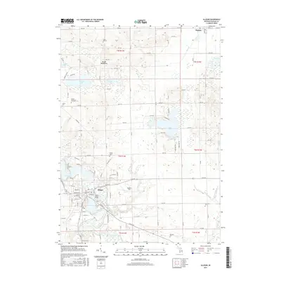
(10)- 2011 Map of Allegan, 2011 Print
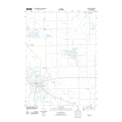 2011 Allegan2011 Print · USGSCovers Allegan Township, including Allegan, Watson, and other nearby areas
 - 2011 Map of Millgrove, 2011 Print
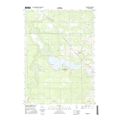
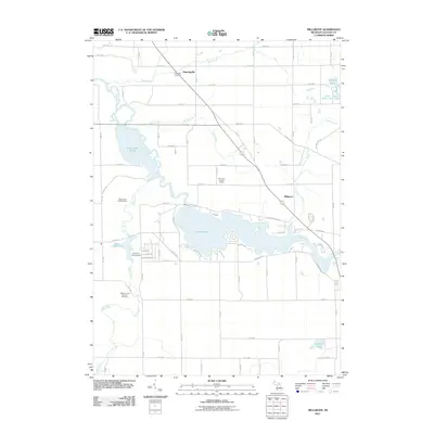 2011 Millgrove2011 Print · USGSCovers Allegan Township, including Trowbridge Township, Cheshire Township, and other nearby areas
 - 2014 Map of Allegan, 2014 Print
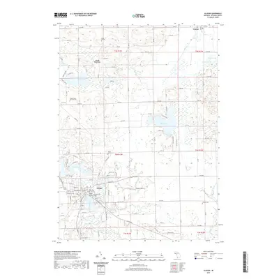
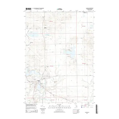 2014 Allegan2014 Print · USGSCovers Allegan Township, including Allegan, Watson, and other nearby areas
 - 2014 Map of Millgrove, 2014 Print
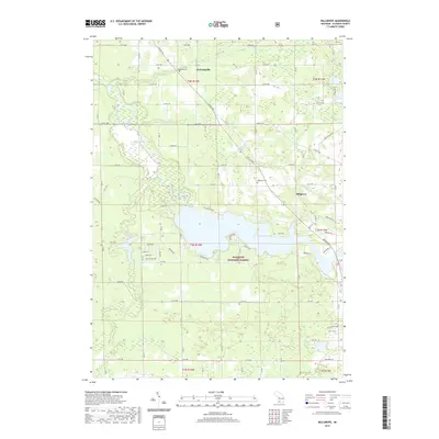
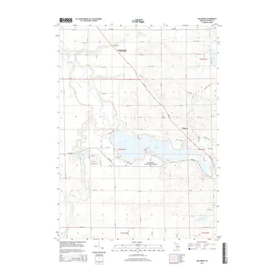 2014 Millgrove2014 Print · USGSCovers Allegan Township, including Trowbridge Township, Cheshire Township, and other nearby areas
 - 2017 Map of Millgrove, 2017 Print
 2017 Millgrove2017 Print · USGSCovers Allegan Township, including Trowbridge Township, Cheshire Township, and other nearby areas
 - 2017 Map of Allegan, 2017 Print
 2017 Allegan2017 Print · USGSCovers Allegan Township, including Allegan, Watson, and other nearby areas
 - 2019 Map of Millgrove, 2019 Print
 2019 Millgrove2019 Print · USGSCovers Allegan Township, including Trowbridge Township, Cheshire Township, and other nearby areas
 - 2019 Map of Allegan, 2019 Print
 2019 Allegan2019 Print · USGSCovers Allegan Township, including Allegan, Watson, and other nearby areas
 - 2023 Map of Allegan, 2023 Print
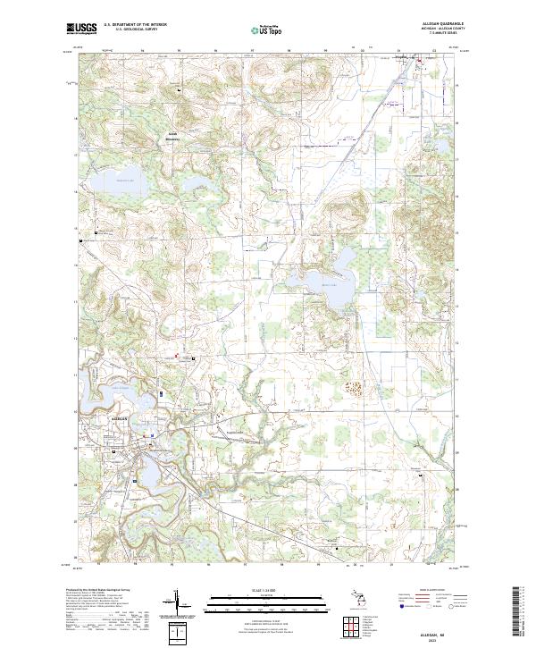 2023 Allegan2023 Print · USGSAllegan and the surrounding townships are mapped here in the early 2020s, showcasing the area's complex river systems and civic layout. Local historians can trace established landmarks and numerous burial grounds like Oakwood Cem, Poplar Hill Cem, and the Allegan County Poor Farm Cem.
 - 2023 Map of Millgrove, 2023 Print
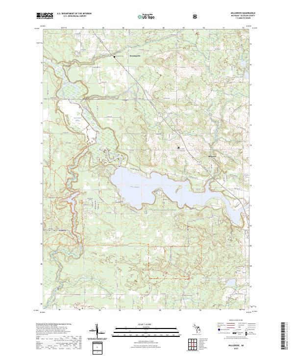 2023 Millgrove2023 Print · USGSAllegan County’s river valleys and forest lands are captured in this recent survey of the Kalamazoo River watershed. Genealogists and local historians can locate Millgrove and Dunningville, alongside landmarks like Brookside Cem and Lake Allegan.
End of results
Showing maps 1-10 of 10
Top cities near Allegan Township
- Kalamazoo historical maps
- Holland historical maps
- Gaines Charter Township historical maps
- Byron Township historical maps
- Dorr historical maps
- Allegan historical maps
See more
Frequently asked questions
- What are the different types of historical maps available for Allegan Township?
- What is the oldest map of Allegan Township?
- Where can I purchase historical maps of Allegan Township for my home or office?
- Where can I download high-res historical maps of Allegan Township?
- Are there historical topographic maps available for Allegan Township?
- Is there historical aerial imagery available for Allegan Township?
- Where are historical maps of Allegan Township sourced from?