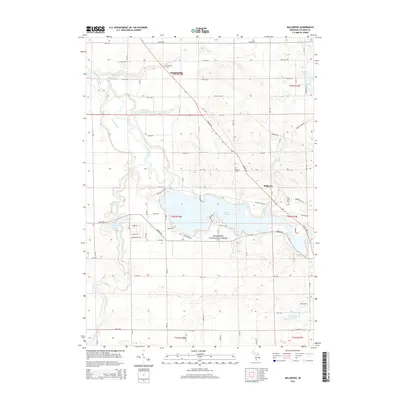
2014 Map of Millgrove
USGS Topo · Published 2014About this map
Lake Allegan forms a central geographic anchor for this part of Allegan County, where the Kalamazoo River widening reflects the influence of the dam at Allegan Dam Rd. To the south, the protected woodlands of the Manistee National Forest extend across the township, while the northern terrain is defined by a series of glacial lakes including Big Spec Lake and Little Spec Lake. The small settlements of Millgrove and Dunningville serve as local crossroads, with the latter situated near the confluence of Bear Cr and the river. Genealogists will find the locations of Brookside Cem and Millgrove Cem useful for family research. The map also captures the local hydrography of the Swan Cr watershed, featuring Swan Cr Pond and numerous smaller tributaries like Sand Cr and Dumont Cr that drain the agricultural and forested landscape.
Find a feature on this map
54 named features on this map. Tap any name to fly to it.
Don’t see what you’re looking for? This feature index may not catch every label — zoom into the map to look around manually.
Map Details
Editions of this 2014 Millgrove Map
This is the sole edition of this map. No revisions or reprints were ever made.
Other maps of this area

1927 · Bangor
USGS Topo · 1:62,500

1928 · Fennville
USGS Topo · 1:62,500

1931 · Fennville
USGS Topo · 1:62,500

1931 · Bangor
USGS Topo · 1:62,500

1943 · Bangor
USGS Topo · 1:62,500

1946 · Gobles
USGS Topo · 1:62,500

1948 · Gobles
USGS Topo · 1:62,500

1949 · Gobles
USGS Topo · 1:62,500

1958 · Allegan
USGS Topo · 1:62,500

1958 · Racine
USGS Topo · 1:250,000