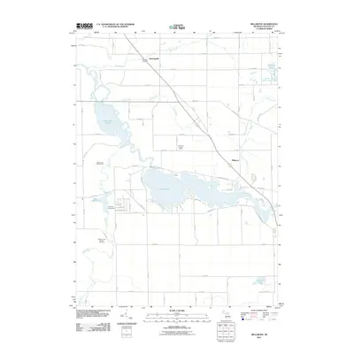
2011 Map of Millgrove
USGS Topo · Published 2011About this map
Lake Allegan dominates the central landscape of this Trowbridge Township survey, where the Kalamazoo River is harnessed to create a large reservoir rimmed by recreation areas and residential roads. The map documents the transition from the river's wilder upstream reaches, including the expansive Swan Creek Marsh, to the developed waterfronts found along Lake Dr and Wildwood Dr. To the north, the small community of Dunningville sits along the regional highway, marked by the nearby Brookside Cemetery and the wandering paths of Bear Creek.
Find a feature on this map
64 named features on this map. Tap any name to fly to it.
Don’t see what you’re looking for? This feature index may not catch every label — zoom into the map to look around manually.
Map Details
Editions of this 2011 Millgrove Map
This is the sole edition of this map. No revisions or reprints were ever made.
Other maps of this area

1927 · Bangor
USGS Topo · 1:62,500

1928 · Fennville
USGS Topo · 1:62,500

1931 · Fennville
USGS Topo · 1:62,500

1931 · Bangor
USGS Topo · 1:62,500

1943 · Bangor
USGS Topo · 1:62,500

1946 · Gobles
USGS Topo · 1:62,500

1948 · Gobles
USGS Topo · 1:62,500

1949 · Gobles
USGS Topo · 1:62,500

1958 · Allegan
USGS Topo · 1:62,500

1958 · Racine
USGS Topo · 1:250,000