2000s (21st Century) Maps of Covington Township, Michigan
Explore 45 historic maps of Covington Township from the 2000s (21st Century). These maps offer a rare glimpse into what life looked like during the 2000s — showing old roads, neighborhoods, homes, and landmarks that have changed or disappeared over time.
Whether you're researching your family's past, planning a metal detecting trip, or studying how Covington Township's landscape evolved across the 2000s, these high-resolution maps are a powerful tool for exploring the history of this region.
- Focus on a specific era: All maps on this page are from the 2000s, giving you a focused view of this time period.
- See what’s changed: Compare century-old streets, trails, and buildings to today's modern landscape using overlays and satellite layers.
- Research with precision: Use these maps for genealogy, historical research, land use analysis, or educational projects.
- View, download, or print: Maps are fully viewable online in high resolution, and can be downloaded or printed for your own records.
Start exploring Covington Township's history through authentic maps from the 2000s. This is your window into the past.
Covington Township, MI maps
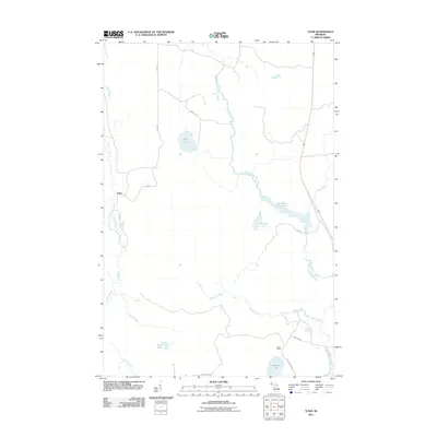
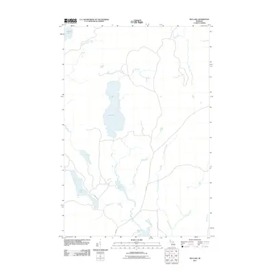
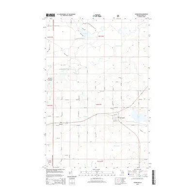
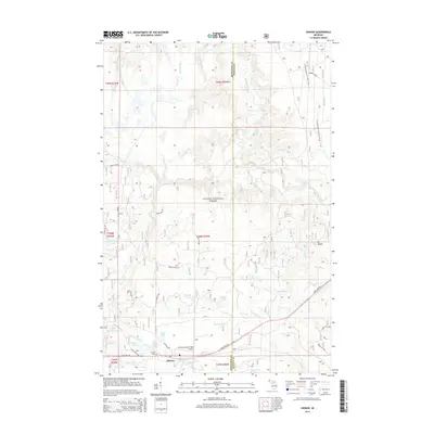
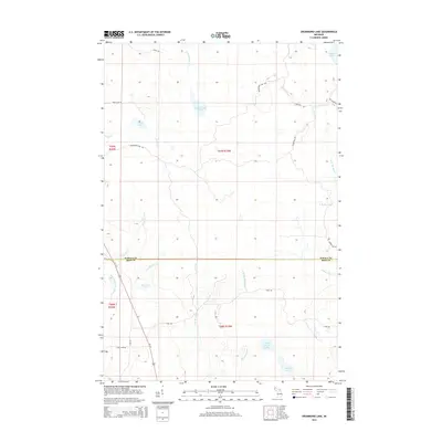
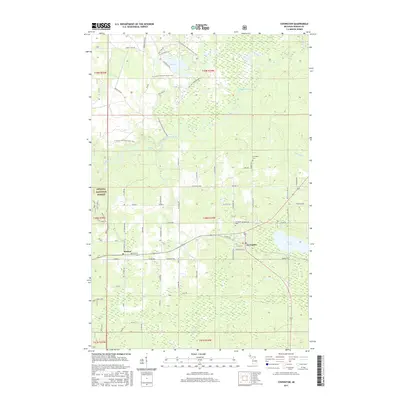
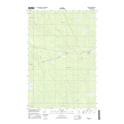
(45)- 2011 Map of Covington, 2011 Print
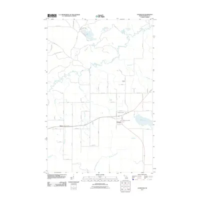 2011 Covington2011 Print · USGSCovers Covington Township, including Covington, Baraga Township, and other nearby areas
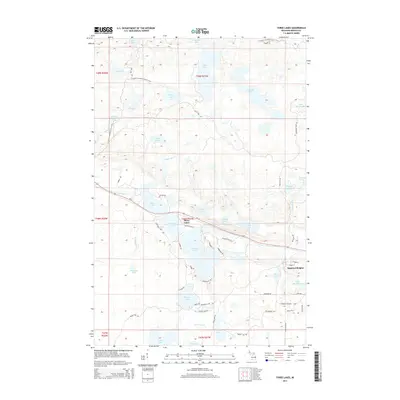
 - 2011 Map of Vermilac, 2011 Print
 2011 Vermilac2011 Print · USGSCovers Covington Township, including L'Anse Township, Baraga Township, and other nearby areas
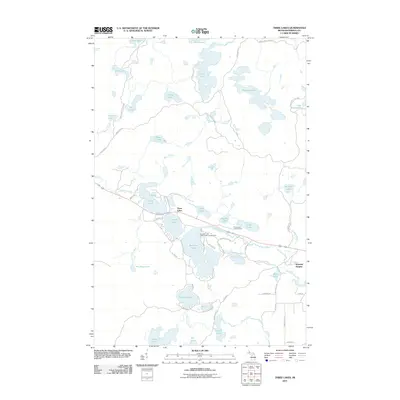
 - 2011 Map of Drummond Lake, 2011 Print
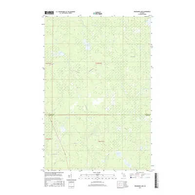
 2011 Drummond Lake2011 Print · USGSCovers Covington Township, including Hematite Township, Baraga County, and other nearby areas
 - 2011 Map of Nestoria, 2011 Print
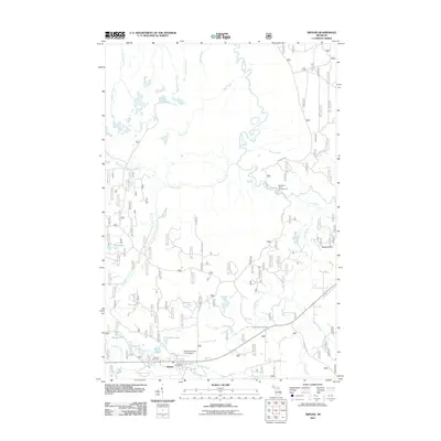
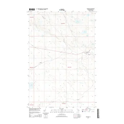
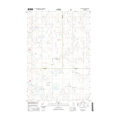
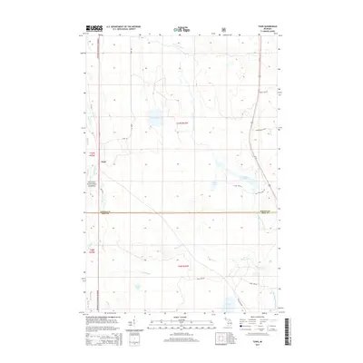
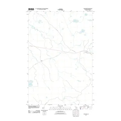 2011 Nestoria2011 Print · USGSCovers Covington Township, including L'Anse Township, Tioga, and other nearby areas
 - 2011 Map of Tunis, 2011 Print
 2011 Tunis2011 Print · USGSCovers Covington Township, including Bates Township, Hematite Township, and other nearby areas
 - 2011 Map of Three Lakes, 2011 Print
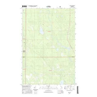
 2011 Three Lakes2011 Print · USGSCovers Covington Township, including L'Anse Township, Spurr Township, and other nearby areas
 - 2011 Map of Sidnaw, 2011 Print
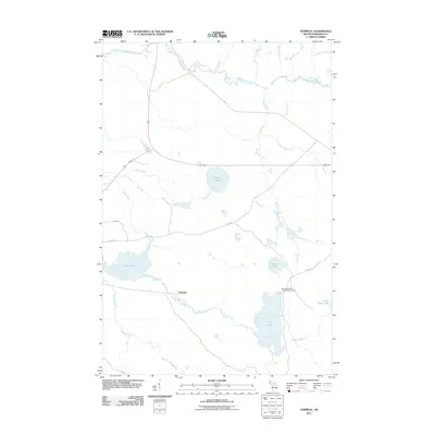
 2011 Sidnaw2011 Print · USGSCovers Covington Township, including Baraga Township, Duncan Township, and other nearby areas
 - 2011 Map of Marten Lake, 2011 Print
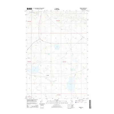
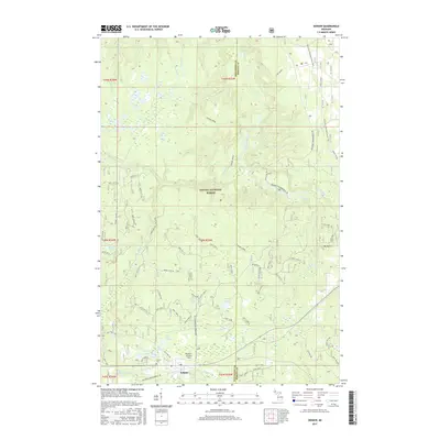
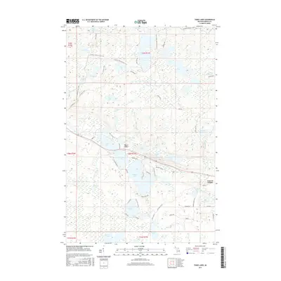
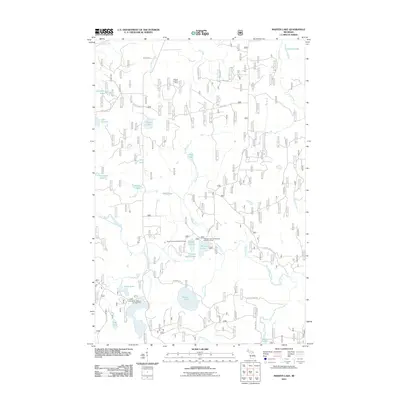 2011 Marten Lake2011 Print · USGSCovers Covington Township, including Duncan Township, Bates Township, and other nearby areas
 - 2011 Map of Ned Lake, 2011 Print
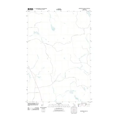
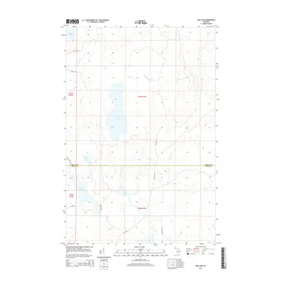
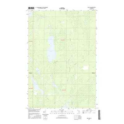
 2011 Ned Lake2011 Print · USGSCovers Covington Township, including Spurr Township, Crystal Falls Township, and other nearby areas
 - 2014 Map of Three Lakes, 2014 Print
 2014 Three Lakes2014 Print · USGSCovers Covington Township, including L'Anse Township, Spurr Township, and other nearby areas
 - 2014 Map of Nestoria, 2014 Print
 2014 Nestoria2014 Print · USGSCovers Covington Township, including L'Anse Township, Tioga, and other nearby areas
 - 2014 Map of Covington, 2014 Print
 2014 Covington2014 Print · USGSCovers Covington Township, including Covington, Baraga Township, and other nearby areas
 - 2014 Map of Sidnaw, 2014 Print
 2014 Sidnaw2014 Print · USGSCovers Covington Township, including Baraga Township, Duncan Township, and other nearby areas
 - 2014 Map of Marten Lake, 2014 Print
 2014 Marten Lake2014 Print · USGSCovers Covington Township, including Duncan Township, Bates Township, and other nearby areas
 - 2014 Map of Vermilac, 2014 Print
 2014 Vermilac2014 Print · USGSCovers Covington Township, including L'Anse Township, Baraga Township, and other nearby areas
 - 2014 Map of Ned Lake, 2014 Print
 2014 Ned Lake2014 Print · USGSCovers Covington Township, including Spurr Township, Crystal Falls Township, and other nearby areas
 - 2014 Map of Drummond Lake, 2014 Print
 2014 Drummond Lake2014 Print · USGSCovers Covington Township, including Hematite Township, Baraga County, and other nearby areas
 - 2014 Map of Tunis, 2014 Print
 2014 Tunis2014 Print · USGSCovers Covington Township, including Bates Township, Hematite Township, and other nearby areas
 - 2017 Map of Ned Lake, 2017 Print
 2017 Ned Lake2017 Print · USGSCovers Covington Township, including Spurr Township, Crystal Falls Township, and other nearby areas
 - 2017 Map of Sidnaw, 2017 Print
 2017 Sidnaw2017 Print · USGSCovers Covington Township, including Baraga Township, Duncan Township, and other nearby areas
 - 2017 Map of Covington, 2017 Print
 2017 Covington2017 Print · USGSCovers Covington Township, including Covington, Baraga Township, and other nearby areas
 - 2017 Map of Tunis, 2017 Print
 2017 Tunis2017 Print · USGSCovers Covington Township, including Bates Township, Hematite Township, and other nearby areas
 - 2017 Map of Drummond Lake, 2017 Print
 2017 Drummond Lake2017 Print · USGSCovers Covington Township, including Hematite Township, Baraga County, and other nearby areas
 - 2017 Map of Three Lakes, 2017 Print
 2017 Three Lakes2017 Print · USGSCovers Covington Township, including L'Anse Township, Spurr Township, and other nearby areas
 - 2017 Map of Nestoria, 2017 Print
 2017 Nestoria2017 Print · USGSCovers Covington Township, including L'Anse Township, Tioga, and other nearby areas
Showing maps 1-25 of 45
Top cities near Covington Township
Top neighborhoods of Covington Township
- Nestoria historical maps
- Watton historical maps
- Tioga historical maps
- Vermilac historical maps
- Tunis historical maps
- Covington historical maps
Frequently asked questions
- What are the different types of historical maps available for Covington Township?
- What is the oldest map of Covington Township?
- Where can I purchase historical maps of Covington Township for my home or office?
- Where can I download high-res historical maps of Covington Township?
- Are there historical topographic maps available for Covington Township?
- Is there historical aerial imagery available for Covington Township?
- Where are historical maps of Covington Township sourced from?