2000s (21st Century) Maps of Castleton Township, Michigan
Explore 20 historic maps of Castleton Township from the 2000s (21st Century). These maps offer a rare glimpse into what life looked like during the 2000s — showing old roads, neighborhoods, homes, and landmarks that have changed or disappeared over time.
Whether you're researching your family's past, planning a metal detecting trip, or studying how Castleton Township's landscape evolved across the 2000s, these high-resolution maps are a powerful tool for exploring the history of this region.
- Focus on a specific era: All maps on this page are from the 2000s, giving you a focused view of this time period.
- See what’s changed: Compare century-old streets, trails, and buildings to today's modern landscape using overlays and satellite layers.
- Research with precision: Use these maps for genealogy, historical research, land use analysis, or educational projects.
- View, download, or print: Maps are fully viewable online in high resolution, and can be downloaded or printed for your own records.
Start exploring Castleton Township's history through authentic maps from the 2000s. This is your window into the past.
Castleton Township, MI maps
(20)- 2011 Map of Nashville, 2011 Print
 2011 Nashville2011 Print · USGSCovers Castleton Township, including Kalamo, Nashville, and other nearby areas
 - 2011 Map of Saubee Lake, 2011 Print
 2011 Saubee Lake2011 Print · USGSCovers Castleton Township, including Vermontville, Woodland, and other nearby areas
 - 2011 Map of Maple Grove, 2011 Print
 2011 Maple Grove2011 Print · USGSCovers Castleton Township, including Baltimore Township, Johnstown Township, and other nearby areas
 - 2011 Map of Woodland, 2011 Print
 2011 Woodland2011 Print · USGSCovers Castleton Township, including Woodland, Woodland Township, and other nearby areas
 - 2014 Map of Saubee Lake, 2014 Print
 2014 Saubee Lake2014 Print · USGSCovers Castleton Township, including Vermontville, Woodland, and other nearby areas
 - 2014 Map of Maple Grove, 2014 Print
 2014 Maple Grove2014 Print · USGSCovers Castleton Township, including Baltimore Township, Johnstown Township, and other nearby areas
 - 2014 Map of Woodland, 2014 Print
 2014 Woodland2014 Print · USGSCovers Castleton Township, including Woodland, Woodland Township, and other nearby areas
 - 2014 Map of Nashville, 2014 Print
 2014 Nashville2014 Print · USGSCovers Castleton Township, including Kalamo, Nashville, and other nearby areas
 - 2017 Map of Saubee Lake, 2017 Print
 2017 Saubee Lake2017 Print · USGSCovers Castleton Township, including Vermontville, Woodland, and other nearby areas
 - 2017 Map of Maple Grove, 2017 Print
 2017 Maple Grove2017 Print · USGSCovers Castleton Township, including Baltimore Township, Johnstown Township, and other nearby areas
 - 2017 Map of Woodland, 2017 Print
 2017 Woodland2017 Print · USGSCovers Castleton Township, including Woodland, Woodland Township, and other nearby areas
 - 2017 Map of Nashville, 2017 Print
 2017 Nashville2017 Print · USGSCovers Castleton Township, including Kalamo, Nashville, and other nearby areas
 - 2019 Map of Woodland, 2019 Print
 2019 Woodland2019 Print · USGSCovers Castleton Township, including Woodland, Woodland Township, and other nearby areas
 - 2019 Map of Maple Grove, 2019 Print
 2019 Maple Grove2019 Print · USGSCovers Castleton Township, including Baltimore Township, Johnstown Township, and other nearby areas
 - 2019 Map of Nashville, 2019 Print
 2019 Nashville2019 Print · USGSCovers Castleton Township, including Kalamo, Nashville, and other nearby areas
 - 2019 Map of Saubee Lake, 2019 Print
 2019 Saubee Lake2019 Print · USGSCovers Castleton Township, including Vermontville, Woodland, and other nearby areas
 - 2023 Map of Saubee Lake, 2023 Print
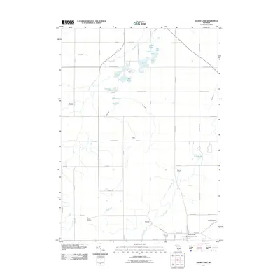
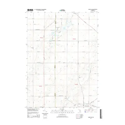
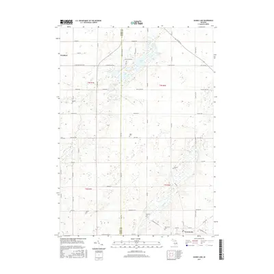
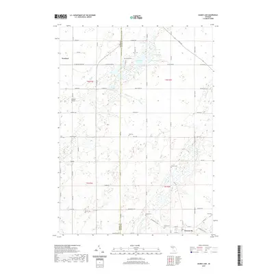
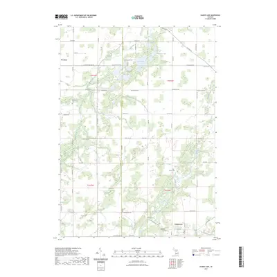 2023 Saubee Lake2023 Print · USGSThe rural landscape between Woodland and Vermontville is shown here in the early twenty-first century, revealing a region defined by its glacial lakes and family-run farmsteads. Researchers can locate historic burial sites like Hosmer Cem and Patterson Cem among the wetlands of Saubee Lake.
 - 2023 Map of Woodland, 2023 Print
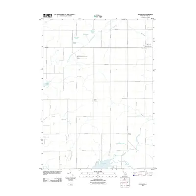
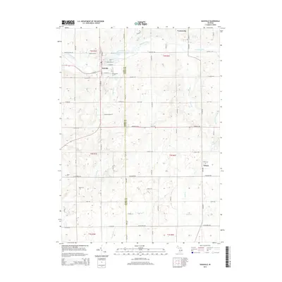
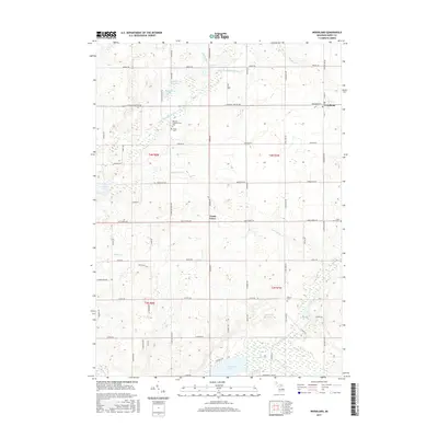
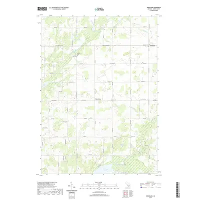
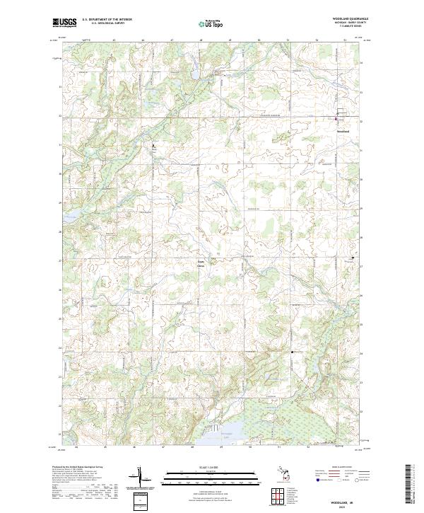 2023 Woodland2023 Print · USGSThe village of Woodland and the community of Coats Grove are the focal points of this Barry County landscape in the 2020s. Researchers can trace land tracts near the Farm Service Agency Interest of Michigan or locate family sites at Fuller Family Cem and Warner Cem.
 - 2023 Map of Maple Grove, 2023 Print
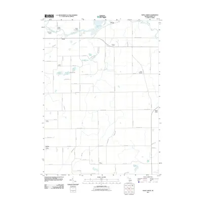
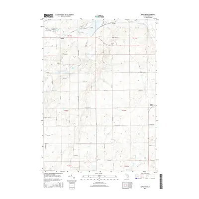
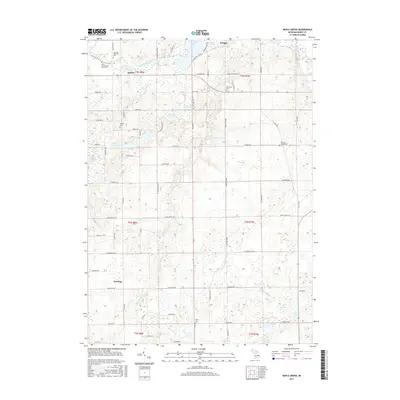
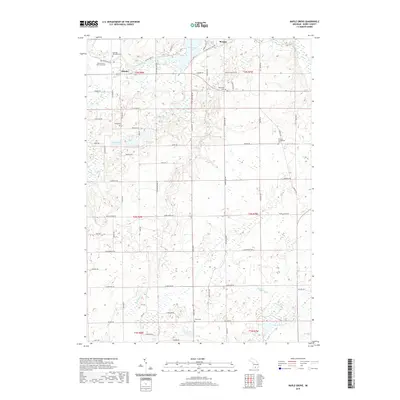
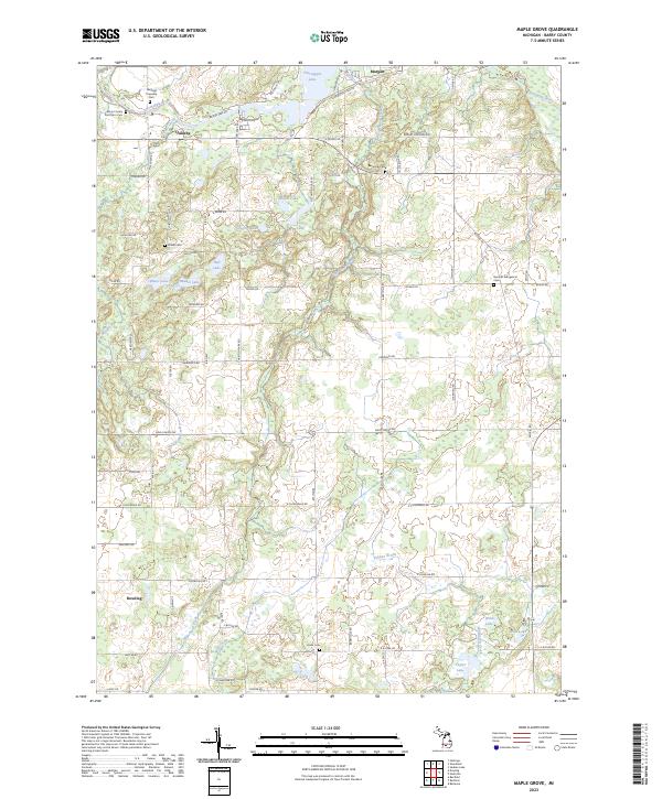 2023 Maple Grove2023 Print · USGSThe rural crossroads and glacial lakes of central Michigan are captured here in the early twenty-first century. Researchers can trace family history at the Barryville Cem and Union Cem or explore the banks of the Thornapple River.
 - 2023 Map of Nashville, 2023 Print
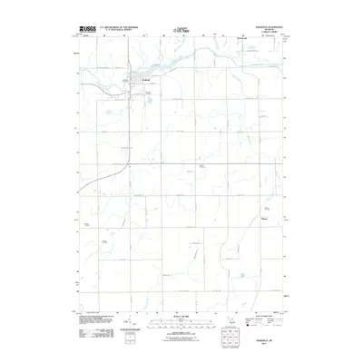
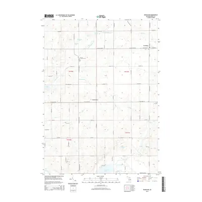
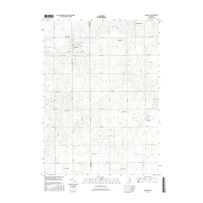
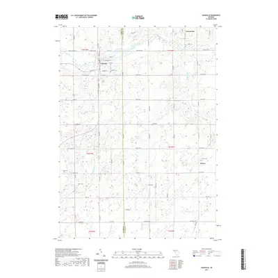
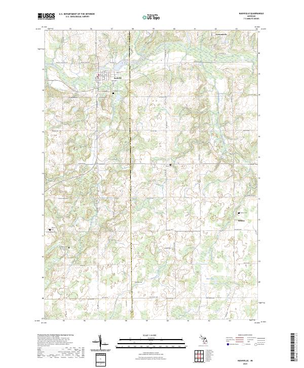 2023 Nashville2023 Print · USGSThe rural border of Barry and Eaton counties is captured here in the early 2020s, centered on the historic village of Nashville. Local researchers can locate numerous burial sites like Quaker Cem and trace the paths of Thornapple River and Wanadoga Creek.
End of results
Showing maps 1-20 of 20
Top cities near Castleton Township
- Hastings historical maps
- Lowell Charter Township historical maps
- Portland historical maps
- Carlton historical maps
- Lake Odessa historical maps
- Assyria historical maps
See more
Top neighborhoods of Castleton Township
Frequently asked questions
- What are the different types of historical maps available for Castleton Township?
- What is the oldest map of Castleton Township?
- Where can I purchase historical maps of Castleton Township for my home or office?
- Where can I download high-res historical maps of Castleton Township?
- Are there historical topographic maps available for Castleton Township?
- Is there historical aerial imagery available for Castleton Township?
- Where are historical maps of Castleton Township sourced from?