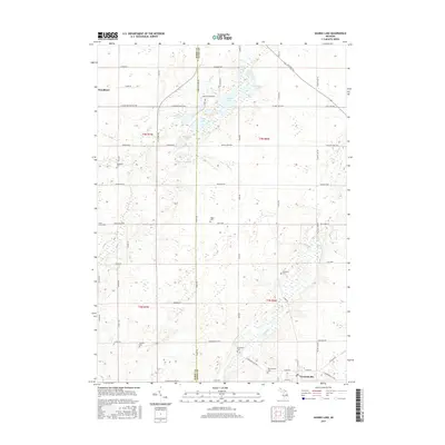
2017 Map of Saubee Lake
USGS Topo · Published 2017About this map
Vermontville sits at the intersection of a network of rural routes near the southeastern corner of this landscape, characterized by numerous small lakes and glacial wetlands. The terrain is defined by water bodies like Saubee Lake, Kilpatrick Lake, and Tamarack Lake, which are linked by winding waterways such as Hagar Cr and Mud Cr. The boundary between Barry and Eaton Counties bisects the area, dividing the agricultural grid into distinct townships.
Find a feature on this map
71 named features on this map. Tap any name to fly to it.
Don’t see what you’re looking for? This feature index may not catch every label — zoom into the map to look around manually.
Map Details
Editions of this 2017 Saubee Lake Map
This is the sole edition of this map. No revisions or reprints were ever made.
Other maps of this area

1916 · Ionia
USGS Topo · 1:62,500

1918 · Ionia
USGS Topo · 1:62,500

1943 · Ionia
USGS Topo · 1:62,500

1945 · Portland
USGS Topo · 1:62,500

1949 · Charlotte
USGS Topo · 1:62,500

1950 · Nashville
USGS Topo · 1:62,500

1951 · Nashville
USGS Topo · 1:62,500

1958 · Grand Rapids
USGS Topo · 1:250,000

1961 · Grand Rapids
USGS Topo · 1:250,000

1962 · Grand Rapids
USGS Topo · 1:250,000