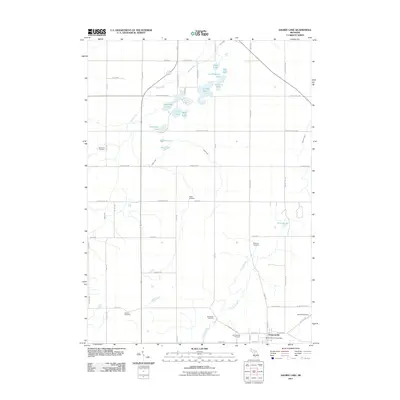
2011 Map of Saubee Lake
USGS Topo · Published 2011About this map
Vermontville anchors the southeastern corner of this landscape, serving as a primary point of settlement where the Vermontville Post Office and Vermontville Cemetery are situated. The area is defined by a dense cluster of glacial lakes in the north, including Saubee Lake, Lookingglass Lake, and Tamarock Lake, which feed into the winding course of Mud Creek. This hydrological pattern suggests a terrain shaped by post-glacial drainage, creating a patchwork of small basins and wetlands interspersed with a strictly rectangular road grid.
Find a feature on this map
62 named features on this map. Tap any name to fly to it.
Don’t see what you’re looking for? This feature index may not catch every label — zoom into the map to look around manually.
Map Details
Editions of this 2011 Saubee Lake Map
This is the sole edition of this map. No revisions or reprints were ever made.
Other maps of this area

1916 · Ionia
USGS Topo · 1:62,500

1918 · Ionia
USGS Topo · 1:62,500

1943 · Ionia
USGS Topo · 1:62,500

1945 · Portland
USGS Topo · 1:62,500

1949 · Charlotte
USGS Topo · 1:62,500

1950 · Nashville
USGS Topo · 1:62,500

1951 · Nashville
USGS Topo · 1:62,500

1958 · Grand Rapids
USGS Topo · 1:250,000

1961 · Grand Rapids
USGS Topo · 1:250,000

1962 · Grand Rapids
USGS Topo · 1:250,000