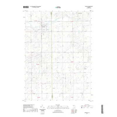
2019 Map of Nashville
USGS Topo · Published 2019About this map
Nashville sits at the western edge of this 2019 survey, where the Thornapple River winds through the landscape. The village's core is detailed with its street grid, including Fuller St and Main St, while the Nashville Cem is situated nearby. This area of Eaton and Barry counties maintains a predominantly agricultural character, punctuated by historic rural centers like Vermontville and the settlement of Kalamo to the southeast.
Find a feature on this map
74 named features on this map. Tap any name to fly to it.
Don’t see what you’re looking for? This feature index may not catch every label — zoom into the map to look around manually.
Map Details
Editions of this 2019 Nashville Map
This is the sole edition of this map. No revisions or reprints were ever made.
Other maps of this area

1918 · Battle Creek
USGS Topo · 1:62,500

1921 · Marshall
USGS Topo · 1:62,500

1923 · Marshall
USGS Topo · 1:62,500

1943 · Battle Creek
USGS Topo · 1:62,500

1943 · Marshall
USGS Topo · 1:62,500

1947 · Bellevue
USGS Topo · 1:24,000

1947 · Bedford
USGS Topo · 1:24,000

1949 · Charlotte
USGS Topo · 1:62,500

1950 · Battle Creek
USGS Topo · 1:62,500

1950 · Nashville
USGS Topo · 1:62,500