2000s (21st Century) Maps of Royalton Township, Michigan
Explore 10 historic maps of Royalton Township from the 2000s (21st Century). These maps offer a rare glimpse into what life looked like during the 2000s — showing old roads, neighborhoods, homes, and landmarks that have changed or disappeared over time.
Whether you're researching your family's past, planning a metal detecting trip, or studying how Royalton Township's landscape evolved across the 2000s, these high-resolution maps are a powerful tool for exploring the history of this region.
- Focus on a specific era: All maps on this page are from the 2000s, giving you a focused view of this time period.
- See what’s changed: Compare century-old streets, trails, and buildings to today's modern landscape using overlays and satellite layers.
- Research with precision: Use these maps for genealogy, historical research, land use analysis, or educational projects.
- View, download, or print: Maps are fully viewable online in high resolution, and can be downloaded or printed for your own records.
Start exploring Royalton Township's history through authentic maps from the 2000s. This is your window into the past.
Royalton Township, MI maps
(10)- 2011 Map of Benton Harbor, 2011 Print
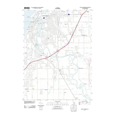 2011 Benton Harbor2011 Print · USGSCovers Royalton Township, including Benton Harbor, Saint Joseph, and other nearby areas
 - 2011 Map of Baroda, 2011 Print
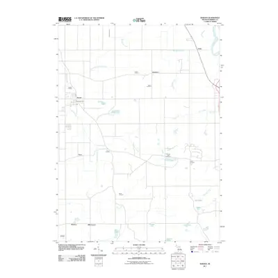 2011 Baroda2011 Print · USGSCovers Royalton Township, including Baroda, Baroda Township, and other nearby areas
 - 2014 Map of Benton Harbor, 2014 Print
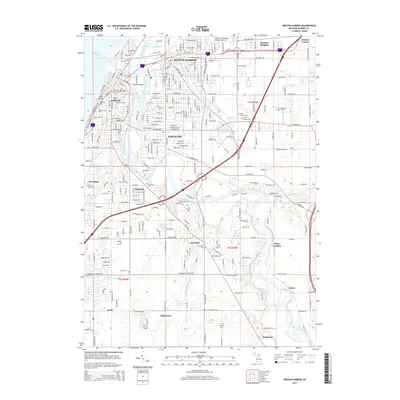 2014 Benton Harbor2014 Print · USGSCovers Royalton Township, including Benton Harbor, Saint Joseph, and other nearby areas
 - 2014 Map of Baroda, 2014 Print
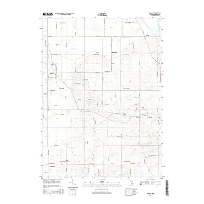 2014 Baroda2014 Print · USGSCovers Royalton Township, including Baroda, Baroda Township, and other nearby areas
 - 2017 Map of Baroda, 2017 Print
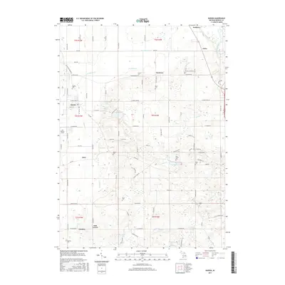 2017 Baroda2017 Print · USGSCovers Royalton Township, including Baroda, Baroda Township, and other nearby areas
 - 2017 Map of Benton Harbor, 2017 Print
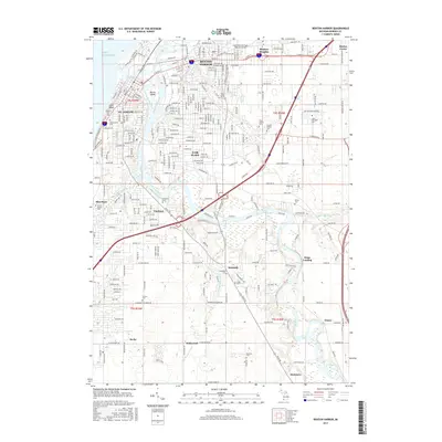 2017 Benton Harbor2017 Print · USGSCovers Royalton Township, including Benton Harbor, Saint Joseph, and other nearby areas
 - 2019 Map of Baroda, 2019 Print
 2019 Baroda2019 Print · USGSCovers Royalton Township, including Baroda, Baroda Township, and other nearby areas
 - 2019 Map of Benton Harbor, 2019 Print
 2019 Benton Harbor2019 Print · USGSCovers Royalton Township, including Benton Harbor, Saint Joseph, and other nearby areas
 - 2023 Map of Baroda, 2023 Print
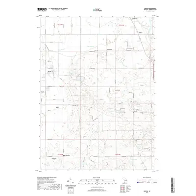
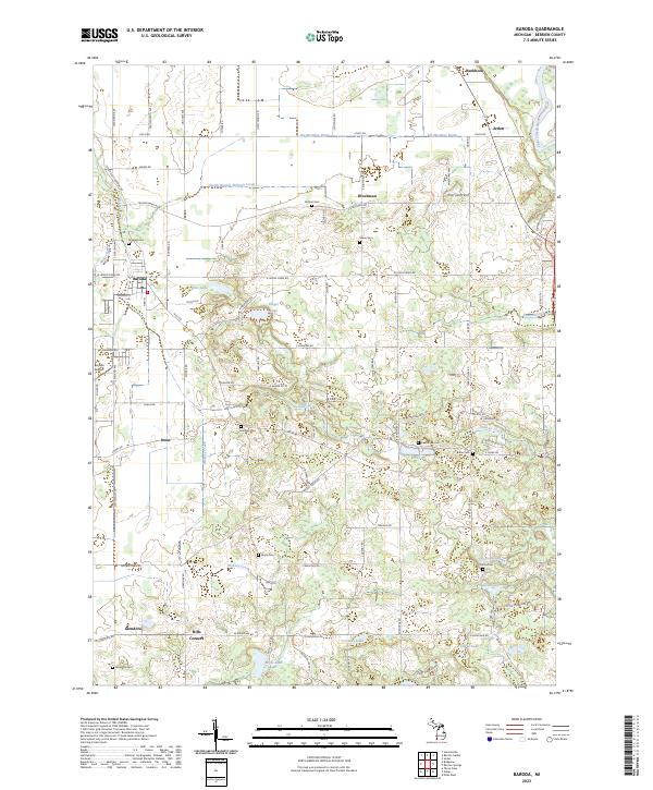 2023 Baroda2023 Print · USGSBerrien County agriculture is in full view on this modern survey of the Baroda area. Researchers can trace rural lineages through local landmarks like Glendora Cem, Hills Corners, and the small aviation history at Baroda Airport.
 - 2023 Map of Benton Harbor, 2023 Print
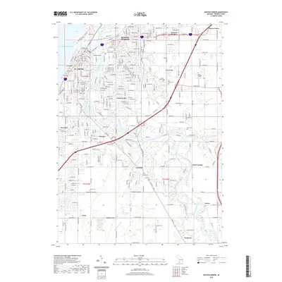
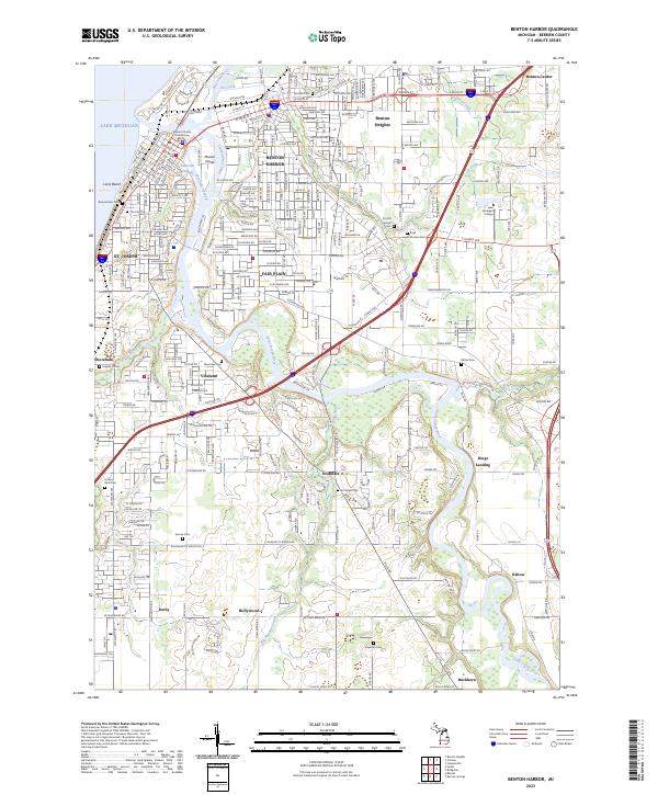 2023 Benton Harbor2023 Print · USGSThe Twin Cities of Benton Harbor and St. Joseph sit at the mouth of the Saint Joseph River in this 2023 survey. Researchers can trace the layout of the urban core near the Berrien County Courthouse or locate family plots at Crystal Springs Cem and Morton Cem.
End of results
Showing maps 1-10 of 10
Top cities near Royalton Township
- Niles historical maps
- Benton Harbor historical maps
- Saint Joseph historical maps
- Fair Plain historical maps
- Buchanan historical maps
- Benton Heights historical maps
See more
Top neighborhoods of Royalton Township
Frequently asked questions
- What are the different types of historical maps available for Royalton Township?
- What is the oldest map of Royalton Township?
- Where can I purchase historical maps of Royalton Township for my home or office?
- Where can I download high-res historical maps of Royalton Township?
- Are there historical topographic maps available for Royalton Township?
- Is there historical aerial imagery available for Royalton Township?
- Where are historical maps of Royalton Township sourced from?