Old Maps of Weesaw Township, Michigan for Academic Research
Study the evolution of Weesaw Township with 32 high-resolution historic maps. Whether you're teaching, researching, or modeling changes in land use, these maps provide essential visual documentation of urban, environmental, and geographic change.
- Analyze long-term change: Track patterns in development, transportation, and natural features.
- Ideal for environmental or urban studies: Support academic projects with primary historical map data.
- Use in the classroom or lab: Educators and researchers rely on these maps to bring historical context to life.
These maps are a powerful tool for teaching, research, and visualizing how Weesaw Township has changed over the decades.
Weesaw Township, MI maps
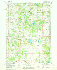
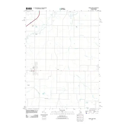
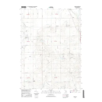
(32)- 1927 Map of Niles
 1927 Niles1927 Print · USGSBerrien County and the Michigan-Indiana borderlands are captured here during the late 1920s, showing a landscape of river-powered towns and rural school districts. Genealogists can trace family roots through dozens of local landmarks like Ruggles Cem, Salem Ch, and Emmanuel Missionary College.
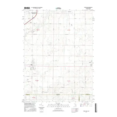
 - 1930 Map of Three Oaks
 1930 Three Oaks1930 Print · USGSSouthwest Michigan's lakeshore and interior townships are captured in detail during the late twenties. Genealogists and historians can trace family roots through numerous rural schoolhouses like California Sch or visit the settled blocks of Three Oaks and New Buffalo.3 unique versions available
 - 1930 Map of Niles
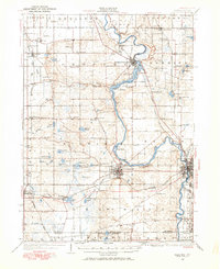
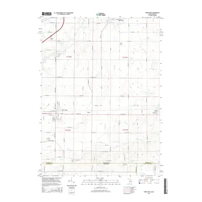
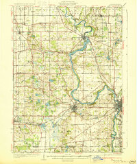 1930 Niles1930 Print · USGSBerrien County's rural heartland is captured here at the onset of the 1930s, showing the agricultural and riverine landscape before modern development. Genealogists can trace family roots through numerous country schools like Bedinger Sch and landmark sites such as Salem Ch or Pennellwood.4 unique versions available
 - 1943 Map of Niles
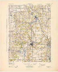 1943 Niles1943 Print · USGSThe St. Joseph River valley in the early 1940s was a landscape defined by small townships and numerous rural school districts. Genealogists can trace family footprints across Berrien Springs and Buchanan, locating family-named sites like Ruggles Cem and Kelsey Sch.
 - 1944 Map of Three Oaks
 1944 Three Oaks1944 Print · USGSCoastal Berrien County at the height of the Second World War shows a vibrant mix of lakeside resorts and rural farming communities. Researchers can trace ancestral roots at Forest Lawn Cem or locate vintage schoolhouses like Riverside Sch and California Sch along the Pere Marquette rail line.
 - 1953 Map of Chicago, 1964 Print
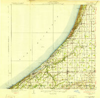
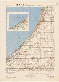
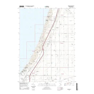
 1953 Chicago1964 Print · USGSThe southern Lake Michigan shoreline was rapidly modernizing in the mid-fifties, balancing heavy industry with its famous academic centers. Researchers can trace the footprints of Notre Dame University or locate vanished sites like the Kingsbury Ordnance Plant and Meigs Field.5 unique versions available
 - 1957 Map of Chicago
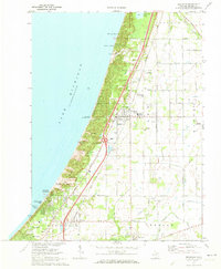
 1957 Chicago1957 Print · USGSThe industrial heartland and southern Great Lakes shoreline are captured here during the peak of mid-century growth. Researchers can trace the massive Gary Steel Works, the grounds of the University of Notre Dame, and the early paths of the Tri-State Tollway.
 - 1970 Map of Baroda, 1973 Print
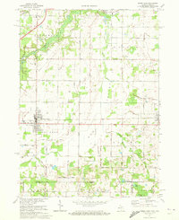
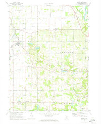 1970 Baroda1973 Print · USGSBerrien County is captured in the early seventies, showing a landscape of small orchards and glacial lakes surrounding Baroda. Genealogists and local historians can trace family-named landmarks like Ruggles Cem, Hickox Landing Strip, and the tracks of the C & O RR.
 - 1970 Map of Bridgman, 1973 Print
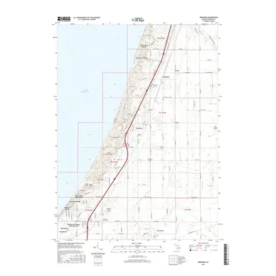
 1970 Bridgman1973 Print · USGSThe Berrien County shoreline at the start of the 1970s shows a landscape of massive dunes and growing coastal villages. Genealogists and historians can trace the foundations of Bridgman and Sawyer while locating landmarks like Greenwood Cem and the Chesapeake and Ohio tracks.2 unique versions available
 - 1970 Map of Three Oaks, 1973 Print
 1970 Three Oaks1973 Print · USGSBerrien County and the Indiana state line meet here in the early 1970s, where the Chesapeake and Ohio rail line links rural villages and woodlots. Researchers can trace historic local institutions from River Valley High Sch to quiet rural burial grounds like Shedd Cem.
 - 1971 Map of Galien, 1973 Print
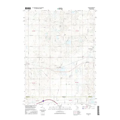
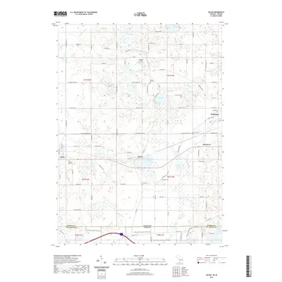
 1971 Galien1973 Print · USGSThe Michigan-Indiana borderlands come to life in the early seventies, showing a landscape defined by the Galien River and rural townships. Trace the paths of the Penn Central railroad and find local landmarks like Oak Ridge Cemetery and Camp Madron.
 - 1983 Map of South Bend, 1984 Print
 1983 South Bend1984 Print · USGSThe Indiana-Michigan borderlands come alive in this early 1980s overview of the Michiana region's industrial and academic hubs. Researchers can trace the rail networks of Conrail and the Grand Trunk Western alongside landmarks like the University of Notre Dame and Indiana Dunes State Park.2 unique versions available
 - 2011 Map of Galien, 2011 Print
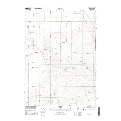
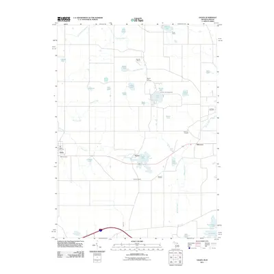 2011 Galien2011 Print · USGSCovers Weesaw Township, including Buchanan, Galien, and other nearby areas
 - 2011 Map of Bridgman, 2011 Print
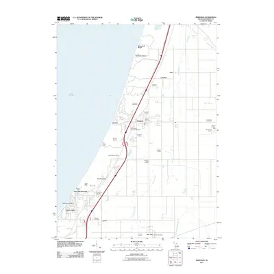 2011 Bridgman2011 Print · USGSCovers Weesaw Township, including Bridgman, Sawyer, and other nearby areas
 - 2011 Map of Baroda, 2011 Print
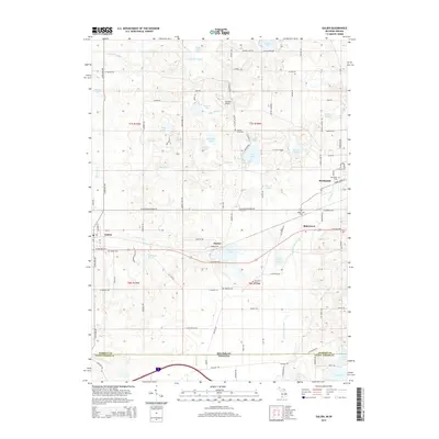
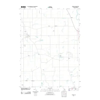 2011 Baroda2011 Print · USGSCovers Weesaw Township, including Baroda, Royalton Township, and other nearby areas
 - 2011 Map of Three Oaks, 2011 Print
 2011 Three Oaks2011 Print · USGSCovers Weesaw Township, including Three Oaks, Galien, and other nearby areas
 - 2014 Map of Three Oaks, 2014 Print
 2014 Three Oaks2014 Print · USGSCovers Weesaw Township, including Three Oaks, Galien, and other nearby areas
 - 2014 Map of Bridgman, 2014 Print
 2014 Bridgman2014 Print · USGSCovers Weesaw Township, including Bridgman, Sawyer, and other nearby areas
 - 2014 Map of Galien, 2014 Print
 2014 Galien2014 Print · USGSCovers Weesaw Township, including Buchanan, Galien, and other nearby areas
 - 2014 Map of Baroda, 2014 Print
 2014 Baroda2014 Print · USGSCovers Weesaw Township, including Baroda, Royalton Township, and other nearby areas
 - 2017 Map of Galien, 2017 Print
 2017 Galien2017 Print · USGSCovers Weesaw Township, including Buchanan, Galien, and other nearby areas
 - 2017 Map of Three Oaks, 2017 Print
 2017 Three Oaks2017 Print · USGSCovers Weesaw Township, including Three Oaks, Galien, and other nearby areas
 - 2017 Map of Baroda, 2017 Print
 2017 Baroda2017 Print · USGSCovers Weesaw Township, including Baroda, Royalton Township, and other nearby areas
 - 2017 Map of Bridgman, 2017 Print
 2017 Bridgman2017 Print · USGSCovers Weesaw Township, including Bridgman, Sawyer, and other nearby areas
 - 2019 Map of Galien, 2019 Print
 2019 Galien2019 Print · USGSCovers Weesaw Township, including Buchanan, Galien, and other nearby areas
Showing maps 1-25 of 32
Top cities near Weesaw Township
- South Bend historical maps
- La Porte historical maps
- Saint Joseph historical maps
- Olive historical maps
- Buchanan historical maps
- Bridgman historical maps
See more
Top neighborhoods of Weesaw Township
Frequently asked questions
- What are the different types of historical maps available for Weesaw Township?
- What is the oldest map of Weesaw Township?
- Where can I purchase historical maps of Weesaw Township for my home or office?
- Where can I download high-res historical maps of Weesaw Township?
- Are there historical topographic maps available for Weesaw Township?
- Is there historical aerial imagery available for Weesaw Township?
- Where are historical maps of Weesaw Township sourced from?