2000s (21st Century) Maps of Marshall, Michigan
Explore 10 historic maps of Marshall from the 2000s (21st Century). These maps offer a rare glimpse into what life looked like during the 2000s — showing old roads, neighborhoods, homes, and landmarks that have changed or disappeared over time.
Whether you're researching your family's past, planning a metal detecting trip, or studying how Marshall's landscape evolved across the 2000s, these high-resolution maps are a powerful tool for exploring the history of this region.
- Focus on a specific era: All maps on this page are from the 2000s, giving you a focused view of this time period.
- See what’s changed: Compare century-old streets, trails, and buildings to today's modern landscape using overlays and satellite layers.
- Research with precision: Use these maps for genealogy, historical research, land use analysis, or educational projects.
- View, download, or print: Maps are fully viewable online in high resolution, and can be downloaded or printed for your own records.
Start exploring Marshall's history through authentic maps from the 2000s. This is your window into the past.
Marshall, MI maps
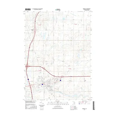
(10)- 2011 Map of Marshall, 2011 Print
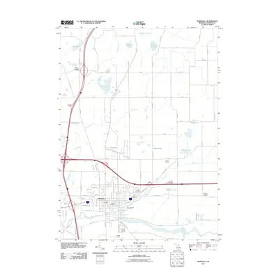 2011 Marshall2011 Print · USGSCovers Marshall, including Convis Township, Lee Township, and other nearby areas
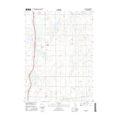
 - 2011 Map of Lyon Lake, 2011 Print
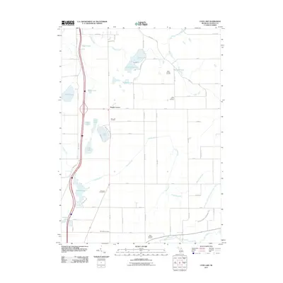 2011 Lyon Lake2011 Print · USGSCovers Marshall, including Tekonsha Township, Marengo Township, and other nearby areas
 - 2014 Map of Lyon Lake, 2014 Print
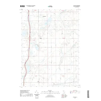
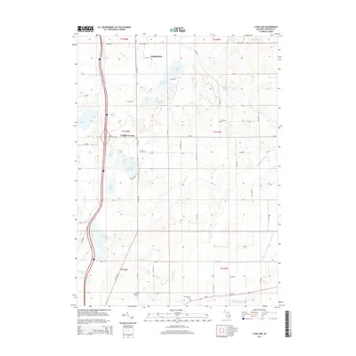 2014 Lyon Lake2014 Print · USGSCovers Marshall, including Tekonsha Township, Marengo Township, and other nearby areas
 - 2014 Map of Marshall, 2014 Print
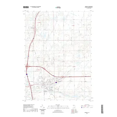
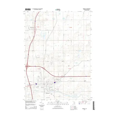 2014 Marshall2014 Print · USGSCovers Marshall, including Convis Township, Lee Township, and other nearby areas
 - 2017 Map of Marshall, 2017 Print
 2017 Marshall2017 Print · USGSCovers Marshall, including Convis Township, Lee Township, and other nearby areas
 - 2017 Map of Lyon Lake, 2017 Print
 2017 Lyon Lake2017 Print · USGSCovers Marshall, including Tekonsha Township, Marengo Township, and other nearby areas
 - 2019 Map of Marshall, 2019 Print
 2019 Marshall2019 Print · USGSCovers Marshall, including Convis Township, Lee Township, and other nearby areas
 - 2019 Map of Lyon Lake, 2019 Print
 2019 Lyon Lake2019 Print · USGSCovers Marshall, including Tekonsha Township, Marengo Township, and other nearby areas
 - 2023 Map of Marshall, 2023 Print
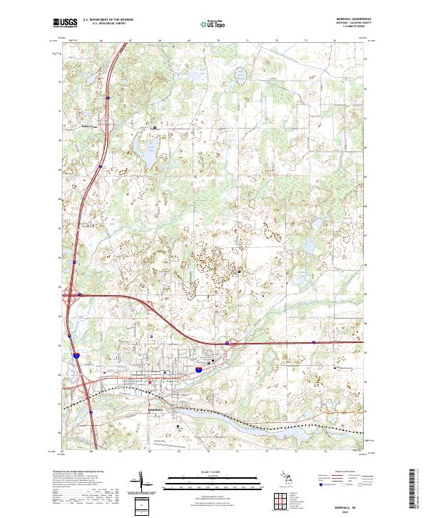 2023 Marshall2023 Print · USGSMarshall and the surrounding Calhoun County landscape appear here in the early 2020s, showing a community defined by the Kalamazoo River and Rice Creek. Genealogists and local historians can trace family plots across numerous sites, including Oakridge Cem and the Marengo Memorial Cem.
 - 2023 Map of Lyon Lake, 2023 Print
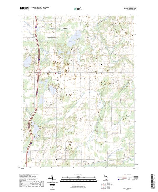 2023 Lyon Lake2023 Print · USGSCalhoun County's rural landscape south of Marshall is defined by its glacial lakes and intricate drainage networks during the early 2020s. Genealogists and local researchers can locate specific burial sites like Lyon Lake Cem, McFadden Burial Ground Cem, and the quiet crossroads of Wrights Corners.
End of results
Showing maps 1-10 of 10
Top cities near Marshall
- Battle Creek historical maps
- Albion historical maps
- Marengo historical maps
- Assyria historical maps
- Homer historical maps
- Olivet historical maps
See more
Frequently asked questions
- What are the different types of historical maps available for Marshall?
- What is the oldest map of Marshall?
- Where can I purchase historical maps of Marshall for my home or office?
- Where can I download high-res historical maps of Marshall?
- Are there historical topographic maps available for Marshall?
- Is there historical aerial imagery available for Marshall?
- Where are historical maps of Marshall sourced from?