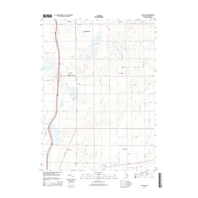
2014 Map of Lyon Lake
USGS Topo · Published 2014About this map
Marshall and the surrounding township lands of Calhoun County exhibit a landscape defined by an intricate network of glacial lakes and managed drainage systems. In this recent survey, the southern portion of Marshall is shown alongside smaller rural junctions like Wrights Corners. The terrain is characterized by numerous water bodies including Lyon Lake, Upper Brace Lake, and Crystal Lake, many of which are connected by complex waterways such as the Squaw Lake-Drain and Nottawa Drain.
Find a feature on this map
68 named features on this map. Tap any name to fly to it.
Don’t see what you’re looking for? This feature index may not catch every label — zoom into the map to look around manually.
Map Details
Editions of this 2014 Lyon Lake Map
This is the sole edition of this map. No revisions or reprints were ever made.
Other maps of this area

1918 · Battle Creek
USGS Topo · 1:62,500

1918 · Union City
USGS Topo · 1:62,500

1921 · Marshall
USGS Topo · 1:62,500

1923 · Marshall
USGS Topo · 1:62,500

1943 · Battle Creek
USGS Topo · 1:62,500

1943 · Marshall
USGS Topo · 1:62,500

1947 · Ceresco
USGS Topo · 1:24,000

1947 · Union City
USGS Topo · 1:62,500

1948 · Homer
USGS Topo · 1:62,500

1949 · Homer
USGS Topo · 1:62,500