Old Maps of Howard Township, Michigan for Academic Research
Study the evolution of Howard Township with 29 high-resolution historic maps. Whether you're teaching, researching, or modeling changes in land use, these maps provide essential visual documentation of urban, environmental, and geographic change.
- Analyze long-term change: Track patterns in development, transportation, and natural features.
- Ideal for environmental or urban studies: Support academic projects with primary historical map data.
- Use in the classroom or lab: Educators and researchers rely on these maps to bring historical context to life.
These maps are a powerful tool for teaching, research, and visualizing how Howard Township has changed over the decades.
Howard Township, MI maps
(29)- 1945 Map of Cassopolis, 1967 Print
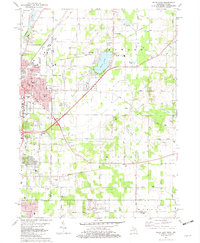
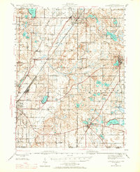 1945 Cassopolis1967 Print · USGSSouthwestern Michigan's rural landscape is captured here in the mid-1940s, showing a dense network of country schools and family-named cemeteries. Genealogists can trace property roots near Barron Lake Cem, Crystal Springs Campground, and numerous landmarks like Morris Chapel.3 unique versions available
 - 1947 Map of Cassopolis
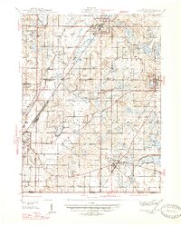 1947 Cassopolis1947 Print · USGSSouthwest Michigan's lake country is captured here just after the war, showing the busy rail-and-river hubs and rural townships. Researchers can locate dozens of neighborhood schoolhouses like Brooklyn Sch and country churches such as Smith Chapel.2 unique versions available
 - 1953 Map of Chicago, 1964 Print
 1953 Chicago1964 Print · USGSThe southern Lake Michigan shoreline was rapidly modernizing in the mid-fifties, balancing heavy industry with its famous academic centers. Researchers can trace the footprints of Notre Dame University or locate vanished sites like the Kingsbury Ordnance Plant and Meigs Field.5 unique versions available
 - 1957 Map of Chicago
 1957 Chicago1957 Print · USGSThe industrial heartland and southern Great Lakes shoreline are captured here during the peak of mid-century growth. Researchers can trace the massive Gary Steel Works, the grounds of the University of Notre Dame, and the early paths of the Tri-State Tollway.
 - 1981 Map of Edwardsburg, 1982 Print
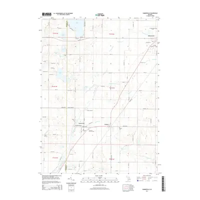
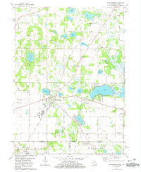 1981 Edwardsburg1982 Print · USGSCrossing the Michigan and Indiana border in the early 1980s, this area centers on the lake-dotted townships of Cass and St. Joseph counties. Researchers can find generational landmarks like the Jefferson Red Brick School, the Grand Trunk Western rail line, and Gods Half Acre Cemetery.
 - 1981 Map of Dowagiac, 1982 Print
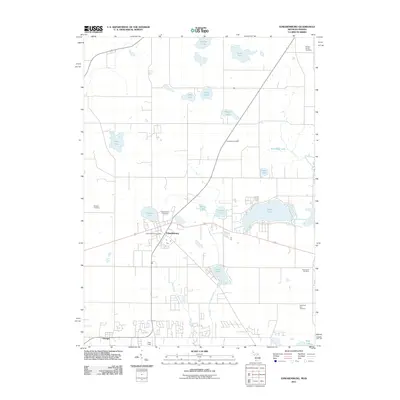
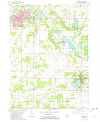 1981 Dowagiac1982 Print · USGSSouthwestern Michigan at the start of the eighties shows a landscape of established lakeside towns and rural colleges. Trace family sites near Dowagiac or Cassopolis, from the Southwestern Michigan College campus to Prospect Hill Cem.
 - 1981 Map of Niles East, 1982 Print
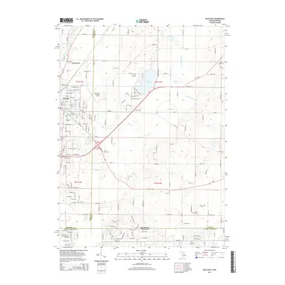
 1981 Niles East1982 Print · USGSThe Michigan-Indiana state line and the eastern expansion of NILES are captured here in the early eighties. Researchers can trace family roots at Smith Chapel or Truitt Cem and locate vanished landmarks like the Drive-in Theater and Tyler Memorial Airport.
 - 1981 Map of Sumnerville, 1982 Print
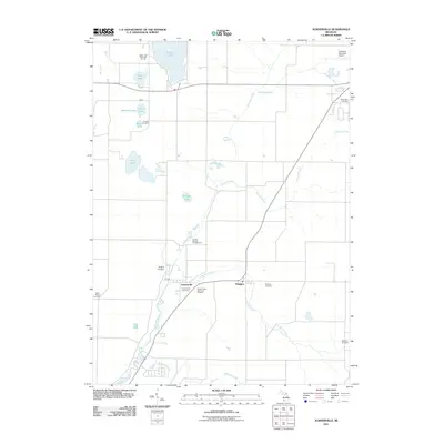
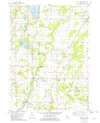 1981 Sumnerville1982 Print · USGSThe borderlands of Berrien and Cass Counties come into focus in the early 1980s, centered on the historic settlements of Sumnerville and Pokagon. Local historians can trace family roots through sites like Pokagon Cem, Franklin Ch, and the winding Dowagiac River.
 - 1983 Map of South Bend, 1984 Print
 1983 South Bend1984 Print · USGSThe Indiana-Michigan borderlands come alive in this early 1980s overview of the Michiana region's industrial and academic hubs. Researchers can trace the rail networks of Conrail and the Grand Trunk Western alongside landmarks like the University of Notre Dame and Indiana Dunes State Park.2 unique versions available
 - 2011 Map of Dowagiac, 2011 Print
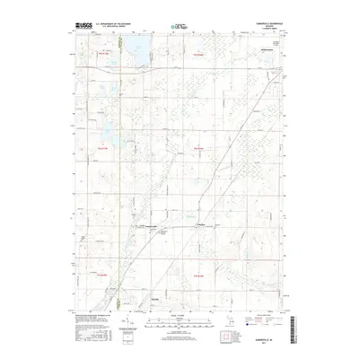
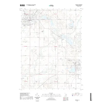
 2011 Dowagiac2011 Print · USGSCovers Howard Township, including Dowagiac, Cassopolis, and other nearby areas
 - 2011 Map of Niles East, 2011 Print
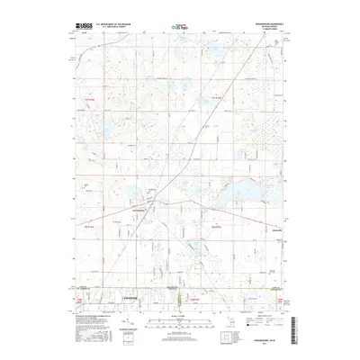
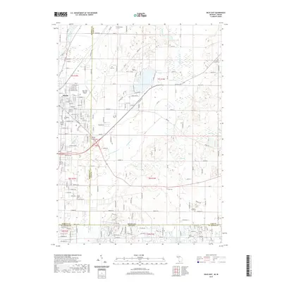
 2011 Niles East2011 Print · USGSCovers Howard Township, including Niles, Milton Township, and other nearby areas
 - 2011 Map of Edwardsburg, 2011 Print
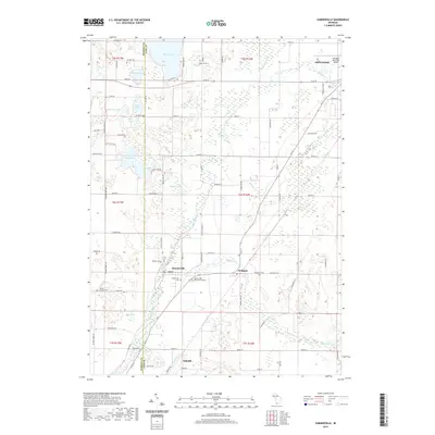
 2011 Edwardsburg2011 Print · USGSCovers Howard Township, including Granger, Edwardsburg, and other nearby areas
 - 2011 Map of Sumnerville, 2011 Print
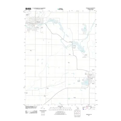
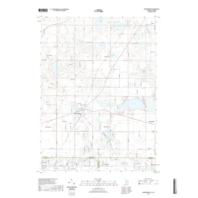
 2011 Sumnerville2011 Print · USGSCovers Howard Township, including Niles, Dowagiac, and other nearby areas
 - 2014 Map of Niles East, 2014 Print
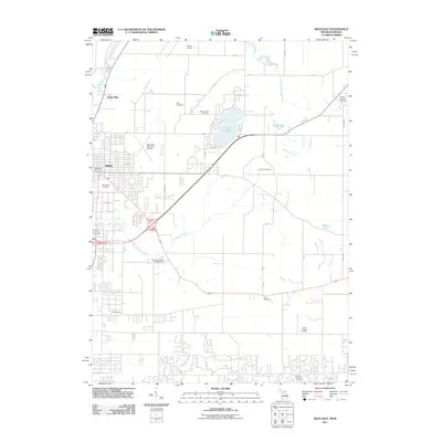
 2014 Niles East2014 Print · USGSCovers Howard Township, including Niles, Milton Township, and other nearby areas
 - 2014 Map of Sumnerville, 2014 Print
 2014 Sumnerville2014 Print · USGSCovers Howard Township, including Niles, Dowagiac, and other nearby areas
 - 2014 Map of Dowagiac, 2014 Print
 2014 Dowagiac2014 Print · USGSCovers Howard Township, including Dowagiac, Cassopolis, and other nearby areas
 - 2014 Map of Edwardsburg, 2014 Print
 2014 Edwardsburg2014 Print · USGSCovers Howard Township, including Granger, Edwardsburg, and other nearby areas
 - 2017 Map of Dowagiac, 2017 Print
 2017 Dowagiac2017 Print · USGSCovers Howard Township, including Dowagiac, Cassopolis, and other nearby areas
 - 2017 Map of Niles East, 2017 Print
 2017 Niles East2017 Print · USGSCovers Howard Township, including Niles, Milton Township, and other nearby areas
 - 2017 Map of Sumnerville, 2017 Print
 2017 Sumnerville2017 Print · USGSCovers Howard Township, including Niles, Dowagiac, and other nearby areas
 - 2017 Map of Edwardsburg, 2017 Print
 2017 Edwardsburg2017 Print · USGSCovers Howard Township, including Granger, Edwardsburg, and other nearby areas
 - 2019 Map of Edwardsburg, 2019 Print
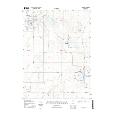
 2019 Edwardsburg2019 Print · USGSCovers Howard Township, including Granger, Edwardsburg, and other nearby areas
 - 2019 Map of Sumnerville, 2019 Print
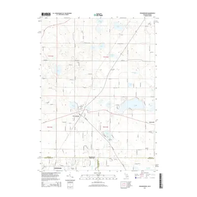
 2019 Sumnerville2019 Print · USGSCovers Howard Township, including Niles, Dowagiac, and other nearby areas
 - 2019 Map of Dowagiac, 2019 Print
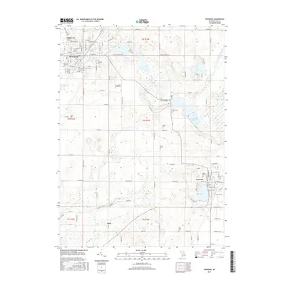
 2019 Dowagiac2019 Print · USGSCovers Howard Township, including Dowagiac, Cassopolis, and other nearby areas
 - 2019 Map of Niles East, 2019 Print
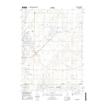
 2019 Niles East2019 Print · USGSCovers Howard Township, including Niles, Milton Township, and other nearby areas
Showing maps 1-25 of 29
Top cities near Howard Township
- South Bend historical maps
- Elkhart historical maps
- Mishawaka historical maps
- Granger historical maps
- Niles historical maps
- Notre Dame historical maps
See more
Frequently asked questions
- What are the different types of historical maps available for Howard Township?
- What is the oldest map of Howard Township?
- Where can I purchase historical maps of Howard Township for my home or office?
- Where can I download high-res historical maps of Howard Township?
- Are there historical topographic maps available for Howard Township?
- Is there historical aerial imagery available for Howard Township?
- Where are historical maps of Howard Township sourced from?