2020s Maps of Cheboygan County, Michigan
Explore 26 historic maps of Cheboygan County from the 2020s. These maps offer a rare glimpse into what life looked like during the 2020s — showing old roads, neighborhoods, homes, and landmarks that have changed or disappeared over time.
Whether you're researching your family's past, planning a metal detecting trip, or studying how Cheboygan County's landscape evolved across the 2020s, these high-resolution maps are a powerful tool for exploring the history of this region.
- Focus on a specific era: All maps on this page are from the 2020s, giving you a focused view of this time period.
- See what’s changed: Compare century-old streets, trails, and buildings to today's modern landscape using overlays and satellite layers.
- Research with precision: Use these maps for genealogy, historical research, land use analysis, or educational projects.
- View, download, or print: Maps are fully viewable online in high resolution, and can be downloaded or printed for your own records.
Start exploring Cheboygan County's history through authentic maps from the 2020s. This is your window into the past.
Cheboygan County, MI maps
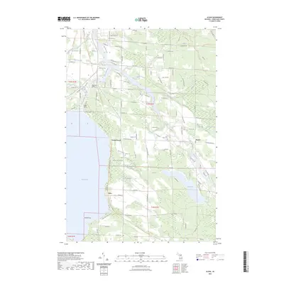
(26)- 2023 Map of Afton, 2023 Print
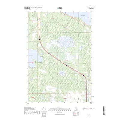
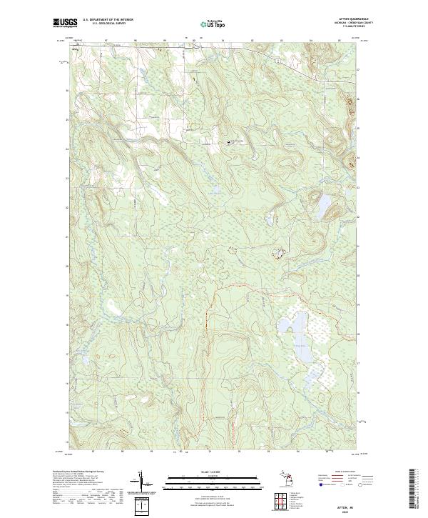 2023 Afton2023 Print · USGSThe settlement of Afton and the surrounding Cheboygan County backcountry are documented here in the early 2020s. Genealogists and hikers can trace the Walker Township Cem or follow the long-distance High Country Pathway Trl through the forests.
 - 2023 Map of Onaway, 2023 Print
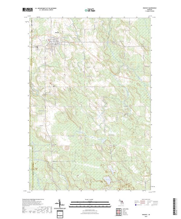 2023 Onaway2023 Print · USGSOnaway and the surrounding Presque Isle timberlands are captured here in the modern era. Genealogists and local historians can locate Elmwood Cem, Allis Cem, and the path of the North Eastern State Trl along the Black River.
 - 2023 Map of Legrand, 2023 Print
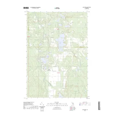
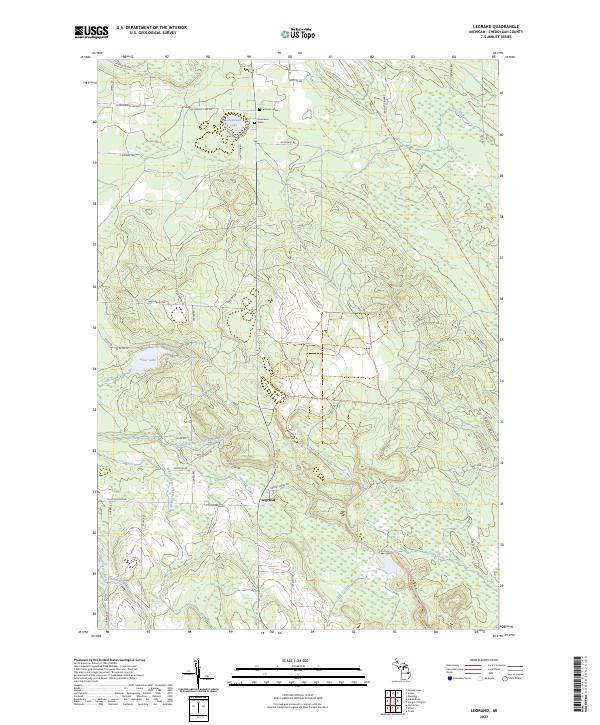 2023 Legrand2023 Print · USGSCheboygan County’s river-fed woodlands are documented in detail during the early 2020s, centered on the settlement of Legrand. Family historians can locate family-named markers like Johnson Grave or trace the North Eastern State Trl and Devereaux Lake.
 - 2023 Map of Silver Lake, 2023 Print
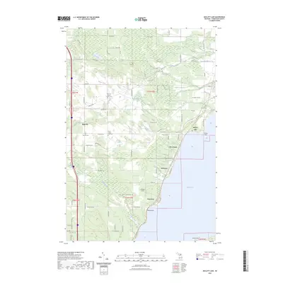
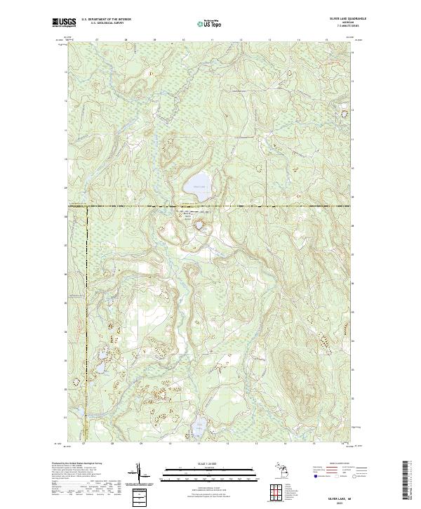 2023 Silver Lake2023 Print · USGSNorthern Michigan's interior wilderness is captured here in the early twenty-first century, spanning the junction of three counties. Trace outdoor history along the High Country Pathway Trl or locate the Black River Ranch Airport near Silver Lake.
 - 2023 Map of Vanderbilt, 2023 Print
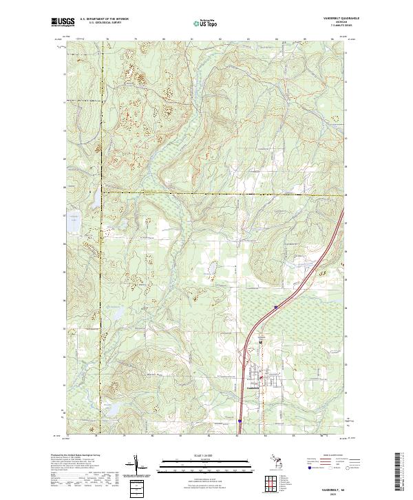 2023 Vanderbilt2023 Print · USGSNorthern Michigan’s high country comes into focus in this contemporary survey of the village of Vanderbilt and its surrounding glacial lakes. Local historians can trace family-named landmarks like the Watson Hills or locate the Vanderbilt Cem near the West Branch Sturgeon River.
 - 2023 Map of Black Lake Bluffs, 2023 Print
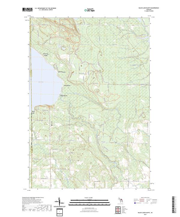 2023 Black Lake Bluffs2023 Print · USGSPresque Isle County's eastern lakefront and timbered interior are documented here in recent years as the region balances shoreline living with vast forest tracts. Researchers can locate the North Allis Cem and trace seasonal routes like Black Lake Route Trl and Bummers Roost Trl.
 - 2023 Map of Ninemile Point, 2023 Print
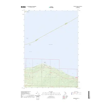
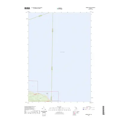 2023 Ninemile Point2023 Print · USGSLake Huron waters meet the Michigan shoreline at the three-county boundary of Mackinac, Cheboygan, and Presque Isle in the early 2020s. Trace the path of Greene Creek out to Ninemile Point or follow the coastal stretch along Bates Rd.
 - 2023 Map of Tower, 2023 Print
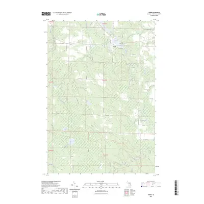 2023 Tower2023 Print · USGSThe village of Tower and the winding Black River define this Cheboygan County landscape in the early twenty-first century. Researchers can locate Forest Lawn Cem and trace the drainage of Milligan Creek past Huckleberry Hollow and Dorsy Lake.
 - 2023 Map of Lake Geneva, 2023 Print
 2023 Lake Geneva2023 Print · USGSThe northern Michigan highlands at the junction of three counties are showcased here in a modern survey of its dense lake country. Genealogists and outdoor historians can trace the bounds of Canada Creek Ranch and locate secluded water such as Shoepac Lake and Bear Den Lake.
 - 2023 Map of Aloha, 2023 Print
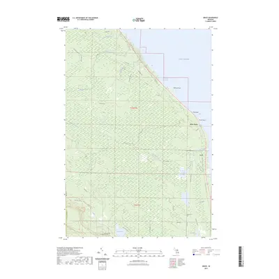
 2023 Aloha2023 Print · USGSThe eastern shores of Mullett Lake and the winding Black River are captured here in the early twenty-first century. Researchers can trace local heritage through sites like Owens Cem and the lakeside village of Aloha.
 - 2023 Map of Wildwood, 2023 Print
 2023 Wildwood2023 Print · USGSNorthern Michigan at the junction of three counties reveals a landscape of deep forests and recreational trails. You can trace early local history through the Indian River Catholic Shrine Cemetery, the Woods Homestead, and the settlement of Rondo.
 - 2023 Map of Hardwood Lake, 2023 Print
 2023 Hardwood Lake2023 Print · USGSNorthern Michigan’s glacial woodlands and river valleys are preserved here in a detailed modern survey. Outdoor historians and researchers can trace the winding Pigeon River and locate remote water bodies like Devils Bowl Lake or the Cornwall Creek Flooding.
 - 2023 Map of Indianville, 2023 Print
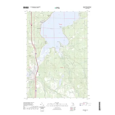
 2023 Indianville2023 Print · USGSCheboygan and Emmet Counties are shown here during the early 2020s, a landscape defined by the great basins of Douglas Lake and Burt Lake. Researchers can locate legacy cemeteries like the Assumption of the Blessed Virgin Mary Cem and trace the shorelines of Silver Strand Beach and Bently Point.
 - 2023 Map of Freedom, 2023 Print
 2023 Freedom2023 Print · USGSThe tip of Michigan's Lower Peninsula is captured here in the early twenty-first century, spanning the border of Emmet and Cheboygan counties. Genealogists and local historians can locate the Hebron Cem and trace the paths of the North Central State Trail and Hebron Mail Route Rd.
 - 2023 Map of Hangore Heights, 2023 Print
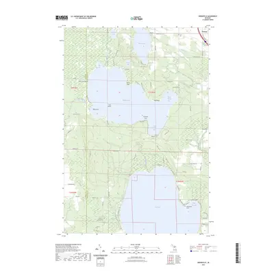
 2023 Hangore Heights2023 Print · USGSBlack Lake and the wetlands of Cheboygan County are mapped here in the early twenty-first century. Genealogists and local researchers can pinpoint Waverly Cem, Reuther's Graves, and the settlement of Hangore Heights along the shore.
 - 2023 Map of Point Nipigon, 2023 Print
 2023 Point Nipigon2023 Print · USGSThe Straits of Mackinac shoreline comes alive in this contemporary study of the Cheboygan coast. Genealogists and local historians can trace legacy sites like the Sailors and Indians Cem or follow the North Central State Trl through Point Nipigon.
 - 2023 Map of Cheboygan, 2023 Print
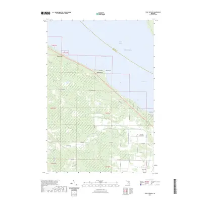
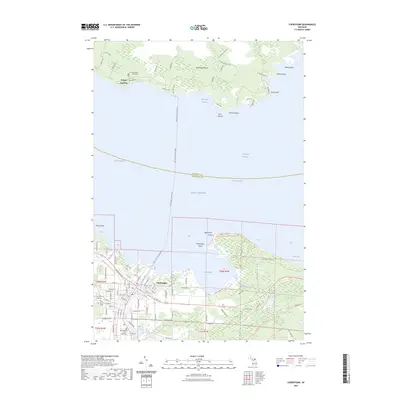 2023 Cheboygan2023 Print · USGSThe northern tip of Michigan's lower peninsula and the shores of Bois Blanc Island are documented here in the early 2020s. Genealogists and maritime historians can trace the Bois Blanc Island Ferry route and locate sites like Woodland Glade Cem and Pine Hill Cem.
 - 2023 Map of Mullett Lake, 2023 Print
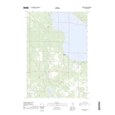
 2023 Mullett Lake2023 Print · USGSThe western shore of Mullett Lake comes into focus in this recent survey, highlighting the area's deep-rooted cultural history. Genealogists can trace family heritage through the Saint John's German Lutheran Cem, African - American Cem, and Riggsville Cem.
 - 2023 Map of Wolverine, 2023 Print
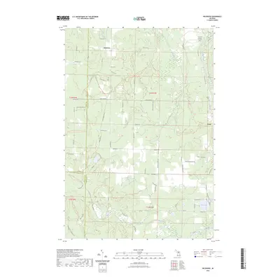
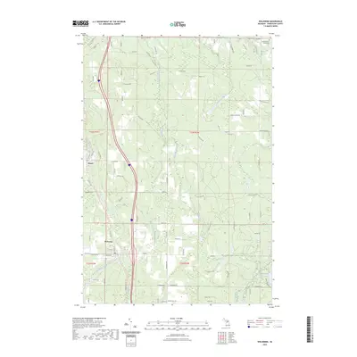 2023 Wolverine2023 Print · USGSNorthern Michigan's river valleys and rural settlements are shown here as they appeared in the early twenty-first century. Researchers can trace the village layout of Wolverine, locate Saint Monica's Catholic Cem, and explore the wetlands around Holy Smoke Lake.
 - 2023 Map of Green Timbers, 2023 Print
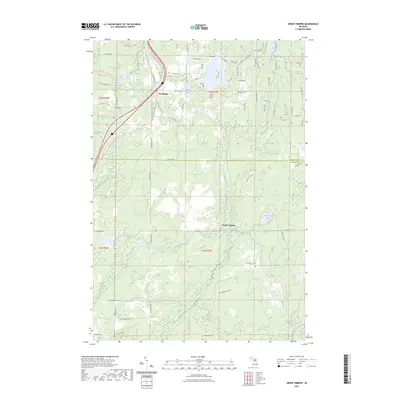 2023 Green Timbers2023 Print · USGSThe northern Michigan woods and the upper reaches of the Sturgeon River are mapped here in the early twenty-first century. Genealogists and outdoor historians can trace old routes like the Cornwell Grade RD or locate family landmarks near Trowbridge and Mount Vernon.
 - 2023 Map of Cordwood Point, 2023 Print
 2023 Cordwood Point2023 Print · USGSThe northern tip of Michigan's Lower Peninsula is shown in detail during the early 2020s as it meets the Straits of Mackinac. Modern researchers can trace coastal properties along Cordwood Shores Dr and explore inland routes like Black Lake Trl or the waters of Grass Bay.
 - 2023 Map of Indian River, 2023 Print
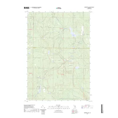
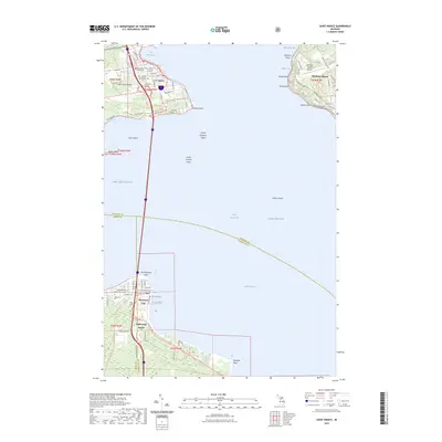
 2023 Indian River2023 Print · USGSThe northern Michigan inland waterway is captured here in the 2020s, showing the vital connection between Mullett Lake and Burt Lake. Researchers can trace local landmarks like Oak Hill Cem, the North Central State Trl, and the riverside growth of Indian River.
 - 2023 Map of Grace, 2023 Print
 2023 Grace2023 Print · USGSPresque Isle County's shoreline and inland forests are captured in the early 2020s, showing a landscape defined by Great Lakes access and state forest land. Researchers can locate the Black Lake State Forest Cem and Grace Cem, or trace water systems from Lake Sixteen to the Black Mallard River.
 - 2023 Map of Saint Ignace, 2023 Print
 2023 Saint Ignace2023 Print · USGSThe Straits of Mackinac are captured in detail here, showing the vital connection between the Upper and Lower Peninsulas. Researchers can trace land tracts near St. Ignace and Mackinaw City, or locate historic sites like Saint Ignatius Loyola Cem and the Mackinac County Courthouse.
 - 2023 Map of Manning, 2023 Print
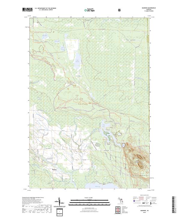 2023 Manning2023 Print · USGSCheboygan County’s inland lakes and timberlands are captured here in the early twenty-first century, showing the interface between wilderness and settlement. Trace local landmarks like Manning, the shoreline at Doriva Beach, and the historic Rail Road Grade Rd.
Showing maps 1-25 of 26
Top cities of Cheboygan County
Frequently asked questions
- What are the different types of historical maps available for Cheboygan County?
- What is the oldest map of Cheboygan County?
- Where can I purchase historical maps of Cheboygan County for my home or office?
- Where can I download high-res historical maps of Cheboygan County?
- Are there historical topographic maps available for Cheboygan County?
- Is there historical aerial imagery available for Cheboygan County?
- Where are historical maps of Cheboygan County sourced from?