2000s (21st Century) Maps of Cheboygan County, Michigan
Explore 130 historic maps of Cheboygan County from the 2000s (21st Century). These maps offer a rare glimpse into what life looked like during the 2000s — showing old roads, neighborhoods, homes, and landmarks that have changed or disappeared over time.
Whether you're researching your family's past, planning a metal detecting trip, or studying how Cheboygan County's landscape evolved across the 2000s, these high-resolution maps are a powerful tool for exploring the history of this region.
- Focus on a specific era: All maps on this page are from the 2000s, giving you a focused view of this time period.
- See what’s changed: Compare century-old streets, trails, and buildings to today's modern landscape using overlays and satellite layers.
- Research with precision: Use these maps for genealogy, historical research, land use analysis, or educational projects.
- View, download, or print: Maps are fully viewable online in high resolution, and can be downloaded or printed for your own records.
Start exploring Cheboygan County's history through authentic maps from the 2000s. This is your window into the past.
Cheboygan County, MI maps
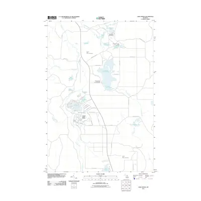
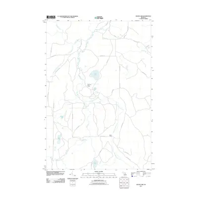
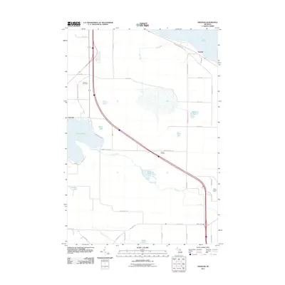
(130)- 2011 Map of Tower, 2011 Print
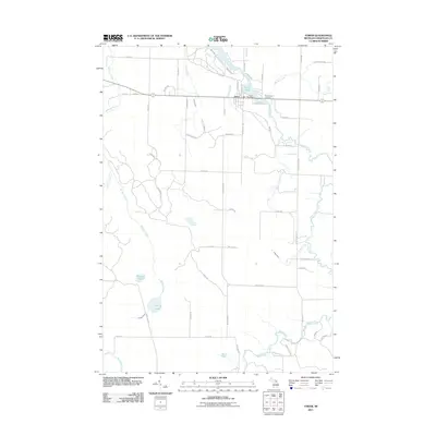 2011 Tower2011 Print · USGSCovers Cheboygan County, including Waverly Township, Walker Township, and other nearby areas
 - 2011 Map of Afton, 2011 Print
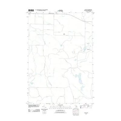 2011 Afton2011 Print · USGSCovers Cheboygan County, including Waverly Township, Walker Township, and other nearby areas
 - 2011 Map of Black Lake Bluffs, 2011 Print
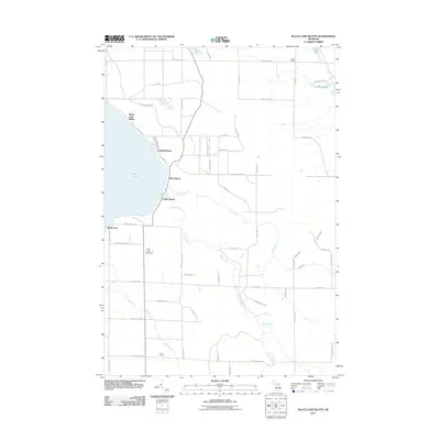 2011 Black Lake Bluffs2011 Print · USGSCovers Cheboygan County, including Waverly Township, Black Lake Bluffs, and other nearby areas
 - 2011 Map of Manning, 2011 Print
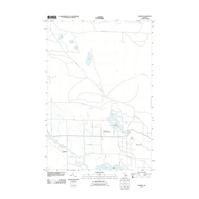 2011 Manning2011 Print · USGSCovers Cheboygan County, including Benton Township, Aloha Township, and other nearby areas
 - 2011 Map of Lake Geneva, 2011 Print
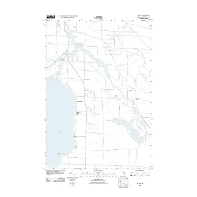
 2011 Lake Geneva2011 Print · USGSCovers Cheboygan County, including Canada Creek Ranch, Montmorency Township, and other nearby areas
 - 2011 Map of Burt Lake, 2011 Print
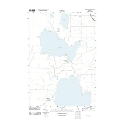
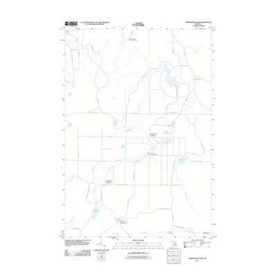
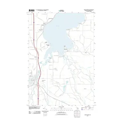
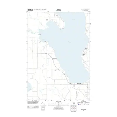 2011 Burt Lake2011 Print · USGSCovers Cheboygan County, including Mentor Township, Littlefield Township, and other nearby areas
 - 2011 Map of Hangore Heights, 2011 Print
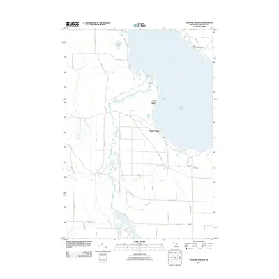 2011 Hangore Heights2011 Print · USGSCovers Cheboygan County, including Waverly Township, Hangore Heights, and other nearby areas
 - 2011 Map of Onaway, 2011 Print
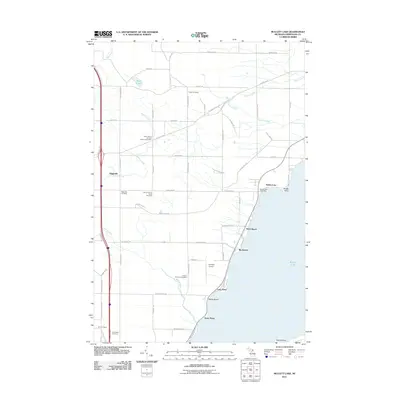
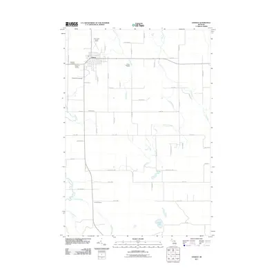 2011 Onaway2011 Print · USGSCovers Cheboygan County, including Onaway, Case Township, and other nearby areas
 - 2011 Map of Point Nipigon, 2011 Print
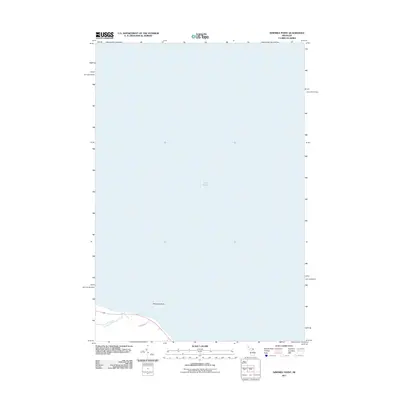
 2011 Point Nipigon2011 Print · USGSCovers Cheboygan County, including Point Nipigon, Bois Blanc Township, and other nearby areas
 - 2011 Map of Legrand, 2011 Print
 2011 Legrand2011 Print · USGSCovers Cheboygan County, including Waverly Township, Mullett Township, and other nearby areas
 - 2011 Map of Indianville, 2011 Print
 2011 Indianville2011 Print · USGSCovers Cheboygan County, including Maple River Township, Munro Township, and other nearby areas
 - 2011 Map of Green Timbers, 2011 Print
 2011 Green Timbers2011 Print · USGSCovers Cheboygan County, including Wilmot Township, Corwith Township, and other nearby areas
 - 2011 Map of Ninemile Point, 2011 Print
 2011 Ninemile Point2011 Print · USGSCovers Cheboygan County, including Benton Township, Bearinger Township, and other nearby areas
 - 2011 Map of Hardwood Lake, 2011 Print
 2011 Hardwood Lake2011 Print · USGSCovers Cheboygan County, including Corwith Township, Nunda Township, and other nearby areas
 - 2011 Map of Vanderbilt, 2011 Print
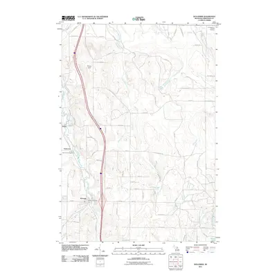
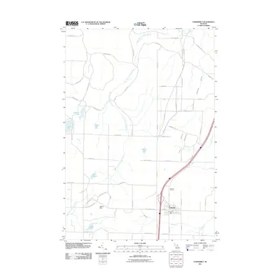 2011 Vanderbilt2011 Print · USGSCovers Cheboygan County, including Vanderbilt, Chandler Township, and other nearby areas
 - 2011 Map of Wildwood, 2011 Print
 2011 Wildwood2011 Print · USGSCovers Cheboygan County, including Chandler Township, Mentor Township, and other nearby areas
 - 2011 Map of Mullett Lake, 2011 Print
 2011 Mullett Lake2011 Print · USGSCovers Cheboygan County, including Mullett Township, Birchwood, and other nearby areas
 - 2011 Map of Wolverine, 2011 Print
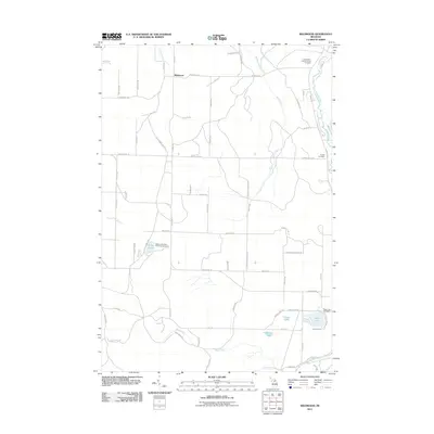
 2011 Wolverine2011 Print · USGSCovers Cheboygan County, including Wolverine, Mentor Township, and other nearby areas
 - 2011 Map of Cordwood Point, 2011 Print
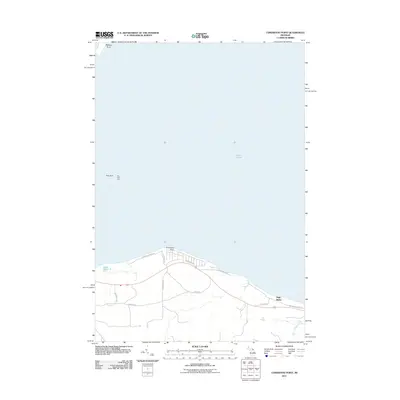 2011 Cordwood Point2011 Print · USGSCovers Cheboygan County, including Bois Blanc Township, Benton Township, and other nearby areas
 - 2011 Map of Aloha, 2011 Print
 2011 Aloha2011 Print · USGSCovers Cheboygan County, including Cheboygan, Aloha, and other nearby areas
 - 2011 Map of Cheboygan, 2011 Print
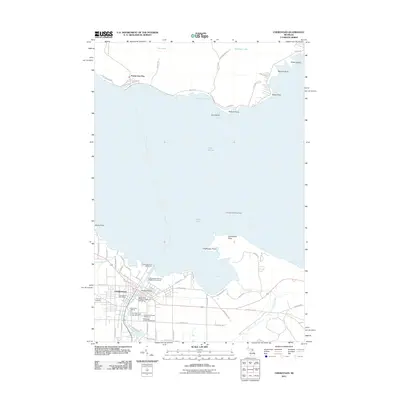 2011 Cheboygan2011 Print · USGSCovers Cheboygan County, including Cheboygan, Bois Blanc Township, and other nearby areas
 - 2011 Map of Silver Lake, 2011 Print
 2011 Silver Lake2011 Print · USGSCovers Cheboygan County, including Corwith Township, Montmorency Township, and other nearby areas
 - 2011 Map of Grace, 2011 Print
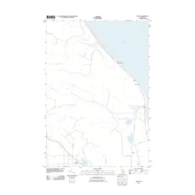 2011 Grace2011 Print · USGSCovers Cheboygan County, including Grace, Bearinger Township, and other nearby areas
 - 2011 Map of Indian River, 2011 Print
 2011 Indian River2011 Print · USGSCovers Cheboygan County, including Indian River, Royal Oak Beach, and other nearby areas
 - 2011 Map of Freedom, 2011 Print
 2011 Freedom2011 Print · USGSCovers Cheboygan County, including Carp Lake Township, Freedom, and other nearby areas
Showing maps 1-25 of 130
Top cities of Cheboygan County
Frequently asked questions
- What are the different types of historical maps available for Cheboygan County?
- What is the oldest map of Cheboygan County?
- Where can I purchase historical maps of Cheboygan County for my home or office?
- Where can I download high-res historical maps of Cheboygan County?
- Are there historical topographic maps available for Cheboygan County?
- Is there historical aerial imagery available for Cheboygan County?
- Where are historical maps of Cheboygan County sourced from?