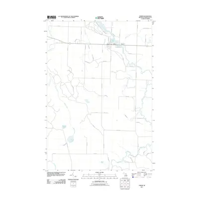
2011 Map of Tower
USGS Topo · Published 2011About this map
Tower and its surrounding countryside in northern Michigan are defined by a network of waterways that converge near the Tower Pond. The settlement serves as a local hub for this part of Cheboygan County, centered around the Tower Post Office and the crossing of the Black River. The landscape is a mosaic of small lakes and drainage systems, where Milligan Creek flows through the western section toward McLavey Lake and Dorsey Lake.
Find a feature on this map
61 named features on this map. Tap any name to fly to it.
Don’t see what you’re looking for? This feature index may not catch every label — zoom into the map to look around manually.
Map Details
Editions of this 2011 Tower Map
This is the sole edition of this map. No revisions or reprints were ever made.
Other maps of this area

1954 · Hetherton
USGS Topo · 1:62,500

1955 · Atlanta
USGS Topo · 1:62,500

1955 · Cheboygan
USGS Topo · 1:250,000

1957 · Tower
USGS Topo · 1:62,500

1957 · Onaway
USGS Topo · 1:62,500

1958 · Cheboygan
USGS Topo · 1:250,000

1982 · Petoskey
USGS Topo · 1:100,000
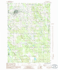
1986 · Onaway
USGS Topo · 1:24,000

1986 · Silver Lake
USGS Topo · 1:24,000
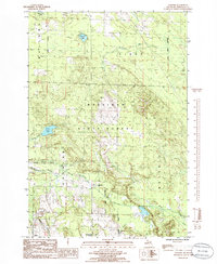
1986 · Legrand
USGS Topo · 1:24,000