2000s (21st Century) Maps of Hulbert Township, Michigan
Explore 30 historic maps of Hulbert Township from the 2000s (21st Century). These maps offer a rare glimpse into what life looked like during the 2000s — showing old roads, neighborhoods, homes, and landmarks that have changed or disappeared over time.
Whether you're researching your family's past, planning a metal detecting trip, or studying how Hulbert Township's landscape evolved across the 2000s, these high-resolution maps are a powerful tool for exploring the history of this region.
- Focus on a specific era: All maps on this page are from the 2000s, giving you a focused view of this time period.
- See what’s changed: Compare century-old streets, trails, and buildings to today's modern landscape using overlays and satellite layers.
- Research with precision: Use these maps for genealogy, historical research, land use analysis, or educational projects.
- View, download, or print: Maps are fully viewable online in high resolution, and can be downloaded or printed for your own records.
Start exploring Hulbert Township's history through authentic maps from the 2000s. This is your window into the past.
Hulbert Township, MI maps
(30)- 2011 Map of Trout Lake, 2011 Print
 2011 Trout Lake2011 Print · USGSCovers Hulbert Township, including Trout Lake, Hendricks Township, and other nearby areas
 - 2011 Map of Eckerman, 2011 Print
 2011 Eckerman2011 Print · USGSCovers Hulbert Township, including Eckerman, Eckerman Corner, and other nearby areas
 - 2011 Map of Piatt Lake, 2011 Print
 2011 Piatt Lake2011 Print · USGSCovers Hulbert Township, including Chippewa Township, Whitefish Township, and other nearby areas
 - 2011 Map of Rexton, 2011 Print
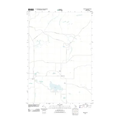 2011 Rexton2011 Print · USGSCovers Hulbert Township, including Hendricks Township, Caffey, and other nearby areas
 - 2011 Map of Hulbert, 2011 Print
 2011 Hulbert2011 Print · USGSCovers Hulbert Township, including Hulbert, McMillan Township, and other nearby areas
 - 2011 Map of Big Beaver Creek, 2011 Print
 2011 Big Beaver Creek2011 Print · USGSCovers Hulbert Township, including McMillan Township, Whitefish Township, and other nearby areas
 - 2014 Map of Eckerman, 2014 Print
 2014 Eckerman2014 Print · USGSCovers Hulbert Township, including Eckerman, Eckerman Corner, and other nearby areas
 - 2014 Map of Hulbert, 2014 Print
 2014 Hulbert2014 Print · USGSCovers Hulbert Township, including Hulbert, McMillan Township, and other nearby areas
 - 2014 Map of Rexton, 2014 Print
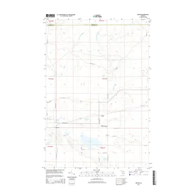 2014 Rexton2014 Print · USGSCovers Hulbert Township, including Hendricks Township, Caffey, and other nearby areas
 - 2014 Map of Trout Lake, 2014 Print
 2014 Trout Lake2014 Print · USGSCovers Hulbert Township, including Trout Lake, Hendricks Township, and other nearby areas
 - 2014 Map of Big Beaver Creek, 2014 Print
 2014 Big Beaver Creek2014 Print · USGSCovers Hulbert Township, including McMillan Township, Whitefish Township, and other nearby areas
 - 2014 Map of Piatt Lake, 2014 Print
 2014 Piatt Lake2014 Print · USGSCovers Hulbert Township, including Chippewa Township, Whitefish Township, and other nearby areas
 - 2017 Map of Trout Lake, 2017 Print
 2017 Trout Lake2017 Print · USGSCovers Hulbert Township, including Trout Lake, Hendricks Township, and other nearby areas
 - 2017 Map of Big Beaver Creek, 2017 Print
 2017 Big Beaver Creek2017 Print · USGSCovers Hulbert Township, including McMillan Township, Whitefish Township, and other nearby areas
 - 2017 Map of Rexton, 2017 Print
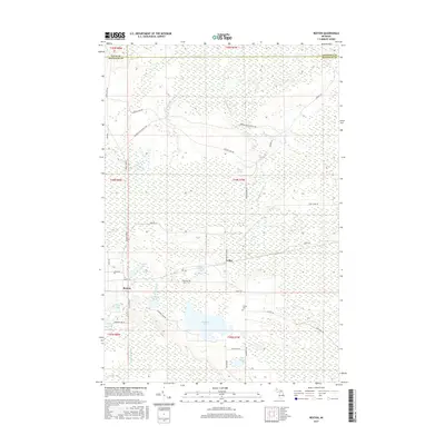 2017 Rexton2017 Print · USGSCovers Hulbert Township, including Hendricks Township, Caffey, and other nearby areas
 - 2017 Map of Hulbert, 2017 Print
 2017 Hulbert2017 Print · USGSCovers Hulbert Township, including Hulbert, McMillan Township, and other nearby areas
 - 2017 Map of Eckerman, 2017 Print
 2017 Eckerman2017 Print · USGSCovers Hulbert Township, including Eckerman, Eckerman Corner, and other nearby areas
 - 2017 Map of Piatt Lake, 2017 Print
 2017 Piatt Lake2017 Print · USGSCovers Hulbert Township, including Chippewa Township, Whitefish Township, and other nearby areas
 - 2019 Map of Piatt Lake, 2019 Print
 2019 Piatt Lake2019 Print · USGSCovers Hulbert Township, including Chippewa Township, Whitefish Township, and other nearby areas
 - 2019 Map of Eckerman, 2019 Print
 2019 Eckerman2019 Print · USGSCovers Hulbert Township, including Eckerman, Eckerman Corner, and other nearby areas
 - 2019 Map of Hulbert, 2019 Print
 2019 Hulbert2019 Print · USGSCovers Hulbert Township, including Hulbert, McMillan Township, and other nearby areas
 - 2019 Map of Big Beaver Creek, 2019 Print
 2019 Big Beaver Creek2019 Print · USGSCovers Hulbert Township, including McMillan Township, Whitefish Township, and other nearby areas
 - 2019 Map of Rexton, 2019 Print
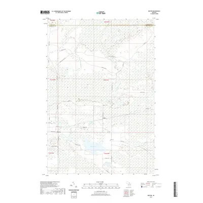 2019 Rexton2019 Print · USGSCovers Hulbert Township, including Hendricks Township, Caffey, and other nearby areas
 - 2019 Map of Trout Lake, 2019 Print
 2019 Trout Lake2019 Print · USGSCovers Hulbert Township, including Trout Lake, Hendricks Township, and other nearby areas
 - 2023 Map of Big Beaver Creek, 2023 Print
 2023 Big Beaver Creek2023 Print · USGSChippewa and Luce counties are mapped here in the early twenty-first century, showcasing the wetland interior of the Upper Peninsula. Genealogists and historians can trace the paths of the Tahquamenon River and Hendrie River or locate remote landmarks like Young's Airport.
Showing maps 1-25 of 30
Top cities near Hulbert Township
Top neighborhoods of Hulbert Township
Frequently asked questions
- What are the different types of historical maps available for Hulbert Township?
- What is the oldest map of Hulbert Township?
- Where can I purchase historical maps of Hulbert Township for my home or office?
- Where can I download high-res historical maps of Hulbert Township?
- Are there historical topographic maps available for Hulbert Township?
- Is there historical aerial imagery available for Hulbert Township?
- Where are historical maps of Hulbert Township sourced from?