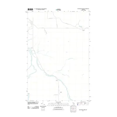
2011 Map of Big Beaver Creek
USGS Topo · Published 2011About this map
The East Branch Tahquamenon River winds through this Upper Peninsula landscape, a region defined by its complex waterway network and isolated camps. Settlement patterns here are tied to the woods and water, evidenced by named sites such as Buckhorn Lodge and Alder Camp. The northern section is marked by Mackinaw Lake and the intersection of local routes like Cadillac Soo Rd and Whitehouse Rd.
Find a feature on this map
20 named features on this map. Tap any name to fly to it.
Don’t see what you’re looking for? This feature index may not catch every label — zoom into the map to look around manually.
Map Details
Editions of this 2011 Big Beaver Creek Map
This is the sole edition of this map. No revisions or reprints were ever made.
Other maps of this area

1951 · Emerson
USGS Topo · 1:24,000

1951 · Piatt Lake
USGS Topo · 1:24,000

1951 · Big Beaver Creek
USGS Topo · 1:24,000

1951 · Hulbert
USGS Topo · 1:24,000

1951 · Eckerman
USGS Topo · 1:24,000

1951 · Timberlost
USGS Topo · 1:24,000

1951 · Eckerman
USGS Topo · 1:62,500

1951 · Shelldrake
USGS Topo · 1:62,500

1954 · Sault Sainte Marie
USGS Topo · 1:250,000

1956 · Sault Sainte Marie
USGS Topo · 1:250,000