Old Maps of Westphalia, Michigan for Hiking & Exploration
Hike through history with 11 historic maps of Westphalia. Explore old trails, ghost towns, and forgotten backroads — perfect for outdoor adventurers and local explorers.
- Rediscover forgotten places: Map out old mining camps, roads, and footpaths that no longer exist on modern maps.
- Layer with modern tools: Combine with LiDAR or satellite views to plan hikes through historical terrain.
- Made for exploration: Popular among hikers, overlanders, and local history lovers.
Use these maps to find adventure and explore the hidden past of Westphalia.
Westphalia, MI maps
(11)- 1945 Map of Portland, 1946 Print
 1945 Portland1946 Print · USGSCentral Michigan river valleys thrive in the 1940s as agricultural and transit hubs. Genealogists can locate dozens of family-named schoolhouses and cemeteries like Eagle Cem, while tracing the Pere Marquette rail line and Wagar Dam.3 unique versions available
 - 1958 Map of Grand Rapids, 1973 Print
 1958 Grand Rapids1973 Print · USGSSouthern Michigan at the peak of the postwar era shows a landscape of burgeoning cities and new interstate highways. Trace family roots and regional growth in Grand Rapids, Battle Creek, and the glacial lake country around Gun Lake or Gull Lake.2 unique versions available
 - 1961 Map of Grand Rapids
 1961 Grand Rapids1961 Print · USGSSouthern Michigan at the dawn of the 1960s reveals a region shaped by major river systems and a robust rail network. Trace mid-century industrial growth and land use from Grand Rapids to the Fort Custer Military Reservation and Gun Lake.
 - 1962 Map of Grand Rapids
 1962 Grand Rapids1962 Print · USGSMid-century Southern Michigan is mapped here at a time of massive growth, showing the expanding urban footprints of Grand Rapids and Lansing. Researchers can trace the legacy of the Grand Trunk Western RR, find historic boundaries of the Fort Custer Military Reservation, or locate sporting camps around Gun Lake.2 unique versions available
 - 1978 Map of Westphalia, 1979 Print
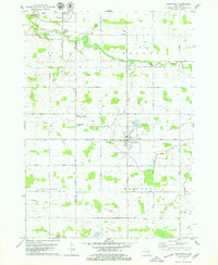 1978 Westphalia1979 Print · USGSClinton and Ionia counties are shown in the late seventies as a network of farm-to-market roads and tight-knit villages. Researchers can trace family roots through St Marys Cem or locate the old Grand Trunk Western rail line at Pewamo.
 - 1983 Map of Lansing, 1984 Print
 1983 Lansing1984 Print · USGSThe Lansing area and its surrounding river valleys are captured here in the early eighties. Genealogists and historians can trace the rail corridors of the Conrail or locate local landmarks like St Johns Ch and Greenwood Cem.
 - 2011 Map of Westphalia, 2011 Print
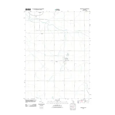 2011 Westphalia2011 Print · USGSWestphalia and the surrounding farm country of Clinton County are captured here just after the turn of the millennium. Genealogists and local historians can locate family plots at Saint Marys Cemetery or trace the paths of Stony Creek and Kloeckner and Fuller Creek.
 - 2014 Map of Westphalia, 2014 Print
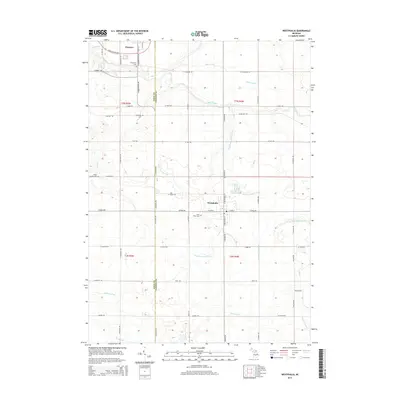 2014 Westphalia2014 Print · USGSMid-Michigan farm country at the Ionia and Clinton county line is shown here in detail during the early twenty-first century. Genealogists and local historians can trace the rural landscape through family-linked sites like Saint Marys Cem, Spaulding Cem, and the village of Westphalia.
 - 2017 Map of Westphalia, 2017 Print
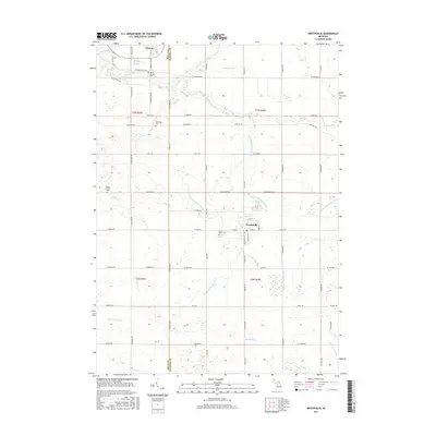 2017 Westphalia2017 Print · USGSThe village of Westphalia and the surrounding farmland along the Clinton-Ionia county line are captured here in the late twenty-first century. Researchers can trace local heritage through sites like Saint Marys Cem and follow the paths of Stony Creek and the Wieber Drain.
 - 2019 Map of Westphalia, 2019 Print
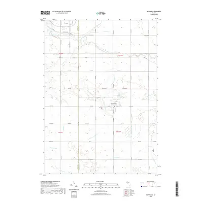 2019 Westphalia2019 Print · USGSWestphalia and the Ionia-Clinton county line are documented here in the late twenty-teens, showing a landscape defined by century-old farmsteads and elaborate drainage systems. Researchers can locate family landmarks like Saint Marys Cemetery and trace the paths of Stony Creek and Goose Creek.
 - 2023 Map of Westphalia, 2023 Print
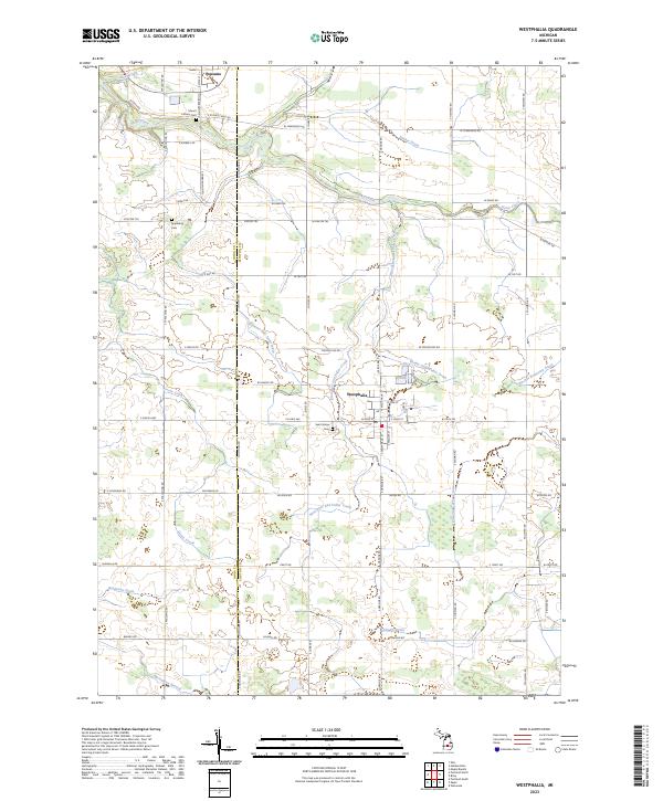 2023 Westphalia2023 Print · USGSMid-Michigan farm country is mapped here in the 2020s, showing the precise layout of rural Clinton and Ionia Counties. Genealogists can locate family burial grounds at Saint Marys Cem and Mount Calvary Cem or trace land through the Ionia Co Clinton Co line.
End of results
Showing maps 1-11 of 11
Top cities near Westphalia
- Lansing historical maps
- Grand Ledge historical maps
- St. Johns historical maps
- DeWitt historical maps
- Portland historical maps
- Edgemont Park historical maps
See more
Frequently asked questions
- What are the different types of historical maps available for Westphalia?
- What is the oldest map of Westphalia?
- Where can I purchase historical maps of Westphalia for my home or office?
- Where can I download high-res historical maps of Westphalia?
- Are there historical topographic maps available for Westphalia?
- Is there historical aerial imagery available for Westphalia?
- Where are historical maps of Westphalia sourced from?