Old Maps of Felch Township, Michigan for Hiking & Exploration
Hike through history with 61 historic maps of Felch Township. Explore old trails, ghost towns, and forgotten backroads — perfect for outdoor adventurers and local explorers.
- Rediscover forgotten places: Map out old mining camps, roads, and footpaths that no longer exist on modern maps.
- Layer with modern tools: Combine with LiDAR or satellite views to plan hikes through historical terrain.
- Made for exploration: Popular among hikers, overlanders, and local history lovers.
Use these maps to find adventure and explore the hidden past of Felch Township.
Felch Township, MI maps
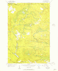
(61)- 1954 Map of Escanaba, 1967 Print
 1954 Escanaba1967 Print · USGSThe Upper Peninsula and Door County shorelines meet here in the mid-fifties, showing the vital maritime and timber networks of the Great Lakes. Researchers can trace historic rail lines, old fire lookouts like the Stonington Fire Tower, and island settlements such as Washington Island.2 unique versions available
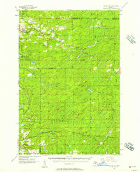
 - 1955 Map of Ralph NW, 1956 Print
 1955 Ralph NW1956 Print · USGSUpper Peninsula timberlands and river valleys are captured here in the mid-fifties at the Marquette and Dickinson county line. Trace the route of the Escanaba and Lake Superior railroad through the Sturgeon River State Forest and along the Ford River.3 unique versions available
 - 1955 Map of Ralph NE, 1956 Print
 1955 Ralph NE1956 Print · USGSThe Dickinson and Marquette county line appears here in the mid-1950s, showing a remote landscape shaped by state forestry and river systems. Researchers can locate the Willit Run Landing Field and the Escanaba River Lookout Tower among the winding bends of the North Branch Ford River.3 unique versions available
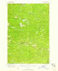
 - 1955 Map of Norway, 1957 Print
 1955 Norway1957 Print · USGSUpper Peninsula mining towns and state forests thrive in the mid-fifties as the rail-and-river economy transitions. Researchers can trace the industrial footprint of the Aragon Mine, find the Norway Sch, and locate the St Anthony Cem.3 unique versions available
 - 1955 Map of Ralph, 1957 Print
 1955 Ralph1957 Print · USGSUpper Peninsula timber and rail life come into focus in the mid-1950s around the Dickinson and Marquette county line. Researchers can trace the Escanaba and Lake Superior line to local hubs like Ralph and Stafford, or locate the Ralph Cem.3 unique versions available
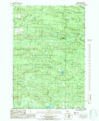
 - 1956 Map of Foster City, 1957 Print
 1956 Foster City1957 Print · USGSNorthern Menominee County is seen here during the mid-fifties, dominated by timber management and rail transit. Genealogists can trace the early community at Foster City or locate family plots at the Waucedah Township Cem.3 unique versions available
 - 1957 Map of Escanaba
 1957 Escanaba1957 Print · USGSThe Upper Peninsula and Door County shorelines meet in the mid-fifties, capturing a landscape of timber, iron, and maritime trade. Genealogists and local historians can trace the Chicago & North Western RR through settlements like Hermansville or locate St Vitals Church and the Potawatome Indian Reservation.
 - 1957 Map of Northland, 1958 Print
 1957 Northland1958 Print · USGSThe Upper Peninsula interior shows its mid-century character during the late 1950s, where rail lines still connected remote forest outposts. Trace the old rail stops at Northland and Alfred or locate the Alfred Lookout Tower and Education Camp near the Ford River.2 unique versions available
 - 1958 Map of Escanaba
 1958 Escanaba1958 Print · USGSNorthern Lake Michigan maritime commerce and timberlands are captured here in the mid-fifties. Genealogists and historians can trace rail networks like the Escanaba and Lake Superior or locate island settlements such as Detroit Harbor and Fish Creek.
 - 1958 Map of Marquette, 1968 Print
 1958 Marquette1968 Print · USGSThe Upper Peninsula’s central corridor is captured here in the mid-twentieth century as mining and timber industries thrived alongside new military installations. Genealogists and historians can trace the rail lines of the Soo Line Railroad through settlements like Gwinn, Turin, and Chatham.2 unique versions available
 - 1960 Map of Marquette
 1960 Marquette1960 Print · USGSUpper Peninsula mining and maritime commerce reach their peak in the late fifties across the Lake Superior shoreline. Genealogists and historians can locate remote settlements like Big Bay and Dukes, while tracing the Cyr Mine and the active rail lines of the Lake Superior and Ishpeming railroad.
 - 1961 Map of Marquette
 1961 Marquette1961 Print · USGSUpper Peninsula life in the early sixties centered on the iron docks and timber stands of the Lake Superior shore. Genealogists and historians can trace rail-to-port connections via the Lake Superior and Ishpeming Railroad and locate active sites like Republic Mine or the K.I. Sawyer Air Force Base.
 - 1968 Map of Marquette, 1977 Print
 1968 Marquette1977 Print · USGSThe Upper Peninsula iron range and Lake Superior coastline are captured here in the late sixties. Genealogists and historians can trace the rail-to-port infrastructure and the Cold War presence of K I Sawyer Air Force Base alongside towns like Ishpeming and Munising.
 - 1982 Map of Escanaba
 1982 Escanaba1982 Print · USGSUpper Peninsula timber and mining country come to life in this early 1980s survey of the lakefront and forest interior. Trace family roots and industrial history through settlements like Norway and Gladstone, or locate the Appleton Mine and Fernwood Cem near the rail lines.
 - 1983 Map of Gwinn
 1983 Gwinn1983 Print · USGSThe heart of Michigan's Marquette Iron Range is captured here during the 1980s, when mining and military operations defined the local landscape. Genealogists and industrial historians can trace the tracks of the Chicago and North Western to the National Mine or the airman's life at K I Sawyer Air Force Base.2 unique versions available
 - 1986 Map of Alfred
 1986 Alfred1986 Print · USGSUpper Michigan's deep woodlands and river systems are documented here in the mid-1980s. Local history researchers can trace the course of the Ford River near the settlement of Alfred or locate remote water bodies like Marsh Lake and Hintz Lake.
 - 1986 Map of Felch
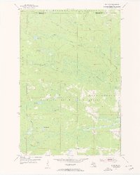
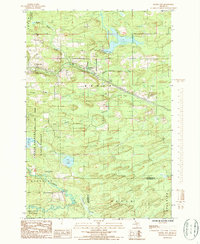
 1986 Felch1986 Print · USGSUpper Peninsula timber and mining country are on full display in this mid-eighties survey of Dickinson County. Genealogists and industrial historians can trace the Old Railroad Grade and locate long-standing settlements like Felch, Breen, and Finn Town.
 - 1986 Map of Foster City
 1986 Foster City1986 Print · USGSUpper Peninsula timber and river country is captured here in the mid-eighties, centered on the Sturgeon River valley. Researchers can trace the Old Railroad Grade through Foster City and Hardwood or locate the local Cem and several Rock Quarry sites.
 - 1986 Map of Carney Lake
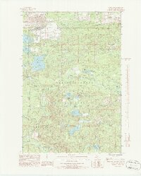 1986 Carney Lake1986 Print · USGSUpper Peninsula mining and forest management define this 1980s Dickinson County landscape. Researchers can trace the industrial footprint of the Mine Dump alongside quiet recreation spots like Carney Lake and the Metropolitan settlement.2 unique versions available
 - 1986 Map of Ralph
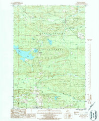 1986 Ralph1986 Print · USGSUpper Peninsula timberlands and river forks come into focus in the 1980s as the state forest boundaries define the Dickinson County landscape. Researchers can locate the small settlement of Ralph, trace the road to Theodore, or find the Cem and Norway Lake County Park.
 - 1986 Map of Ralph SW
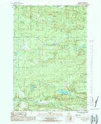 1986 Ralph SW1986 Print · USGSDickinson County's timberlands and river systems are documented here during the mid-1980s, showcasing the industrial character of the Upper Peninsula. Researchers can locate specific sites such as a Mine, the waters of Sixmile Lake, and the remote Felch district.
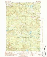
 - 2011 Map of Carney Lake, 2011 Print
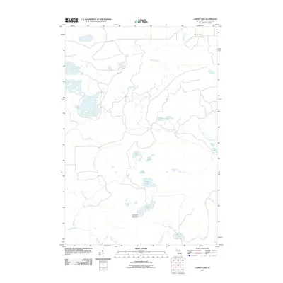 2011 Carney Lake2011 Print · USGSCovers Felch Township, including Breitung Township, Metropolitan, and other nearby areas
 - 2011 Map of Ralph NW, 2011 Print
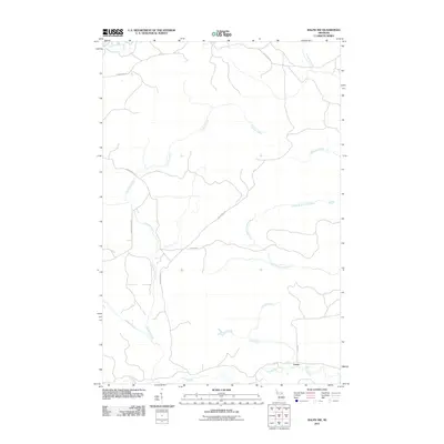 2011 Ralph NW2011 Print · USGSCovers Felch Township, including Humboldt Township, Turner, and other nearby areas
 - 2011 Map of Ralph SW, 2011 Print
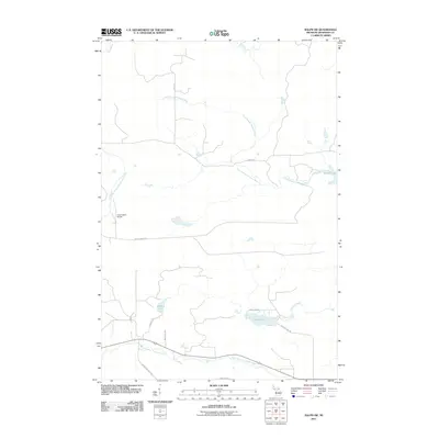 2011 Ralph SW2011 Print · USGSCovers Felch Township, including Sagola Township, Dickinson County, and other nearby areas
 - 2011 Map of Ralph NE, 2011 Print
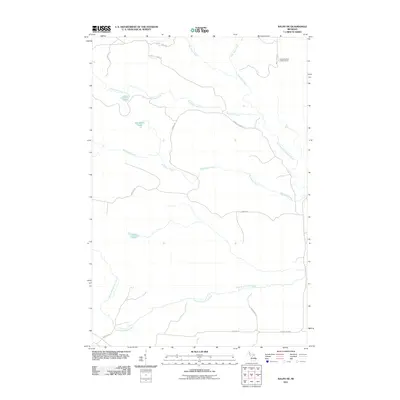 2011 Ralph NE2011 Print · USGSCovers Felch Township, including West Branch Township, Humboldt Township, and other nearby areas
Showing maps 1-25 of 61
Top cities near Felch Township
Top neighborhoods of Felch Township
- Theodore historical maps
- Felch Mountain historical maps
- Turner historical maps
- Spruce historical maps
- Metropolitan historical maps
- Felch historical maps
Frequently asked questions
- What are the different types of historical maps available for Felch Township?
- What is the oldest map of Felch Township?
- Where can I purchase historical maps of Felch Township for my home or office?
- Where can I download high-res historical maps of Felch Township?
- Are there historical topographic maps available for Felch Township?
- Is there historical aerial imagery available for Felch Township?
- Where are historical maps of Felch Township sourced from?