Old Maps of Chester Township, Michigan for Academic Research
Study the evolution of Chester Township with 29 high-resolution historic maps. Whether you're teaching, researching, or modeling changes in land use, these maps provide essential visual documentation of urban, environmental, and geographic change.
- Analyze long-term change: Track patterns in development, transportation, and natural features.
- Ideal for environmental or urban studies: Support academic projects with primary historical map data.
- Use in the classroom or lab: Educators and researchers rely on these maps to bring historical context to life.
These maps are a powerful tool for teaching, research, and visualizing how Chester Township has changed over the decades.
Chester Township, MI maps
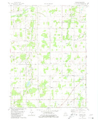
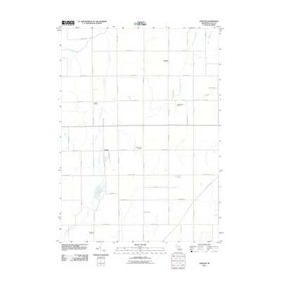
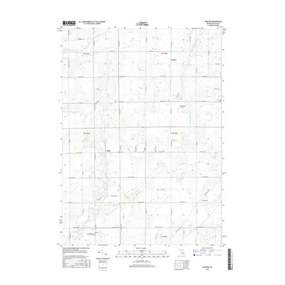
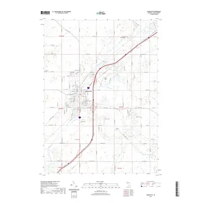
(29)- 1949 Map of Charlotte
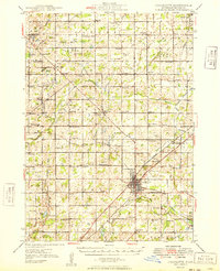 1949 Charlotte1949 Print · USGSEaton County enters the post-war era as a thriving rail hub where the Michigan Central and Grand Trunk lines meet. Genealogists and historians can trace dozens of rural schoolhouses and family cemeteries, from Shaytown to the County Farm.3 unique versions available
 - 1958 Map of Grand Rapids, 1973 Print
 1958 Grand Rapids1973 Print · USGSSouthern Michigan at the peak of the postwar era shows a landscape of burgeoning cities and new interstate highways. Trace family roots and regional growth in Grand Rapids, Battle Creek, and the glacial lake country around Gun Lake or Gull Lake.2 unique versions available
 - 1961 Map of Grand Rapids
 1961 Grand Rapids1961 Print · USGSSouthern Michigan at the dawn of the 1960s reveals a region shaped by major river systems and a robust rail network. Trace mid-century industrial growth and land use from Grand Rapids to the Fort Custer Military Reservation and Gun Lake.
 - 1962 Map of Grand Rapids
 1962 Grand Rapids1962 Print · USGSMid-century Southern Michigan is mapped here at a time of massive growth, showing the expanding urban footprints of Grand Rapids and Lansing. Researchers can trace the legacy of the Grand Trunk Western RR, find historic boundaries of the Fort Custer Military Reservation, or locate sporting camps around Gun Lake.2 unique versions available
 - 1980 Map of Needmore, 1981 Print
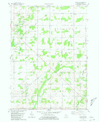
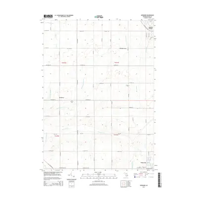
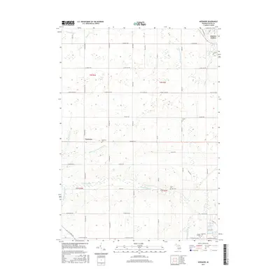
 1980 Needmore1981 Print · USGSEaton County's rural townships and the outskirts of Grand Ledge are captured here in the early eighties. Genealogists can locate family landmarks like Strange Cem, Oneida Center, and Needmore Ch along the winding Thornapple River.
 - 1980 Map of Hoytville, 1981 Print
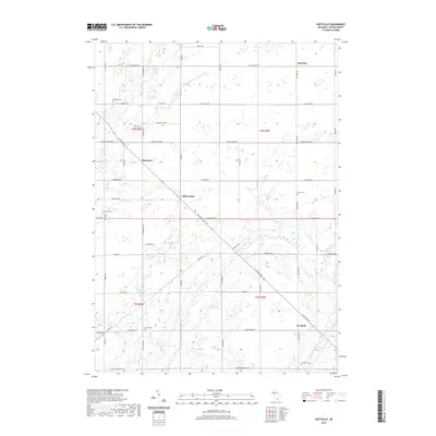
 1980 Hoytville1981 Print · USGSThe rural townships of Eaton County are captured here in the late 1970s, showcasing a landscape of family-named cemeteries and quiet crossroads. Researchers can trace local heritage through sites like Sunfield Cem, the Church of the Brethren, and the settlement of Hoytville.
 - 1980 Map of Charlotte, 1981 Print
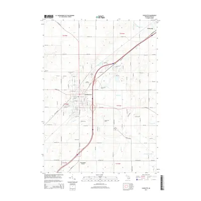
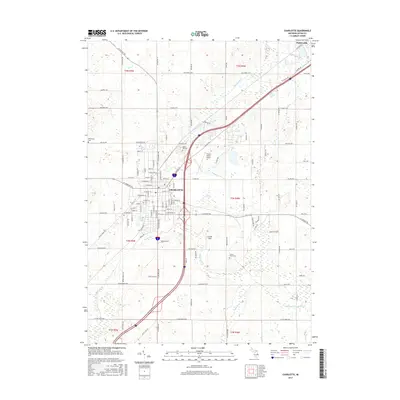
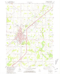 1980 Charlotte1981 Print · USGSCharlotte at the start of the 1980s was a bustling county seat anchored by the Grand Trunk Western railroad and a dense network of local schools. Researchers can trace mid-century civic growth through sites like the Fitch H Beach Airport, Maple Hill Cem, and the old Drive-in Theater.
 - 1980 Map of Chester, 1981 Print
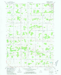
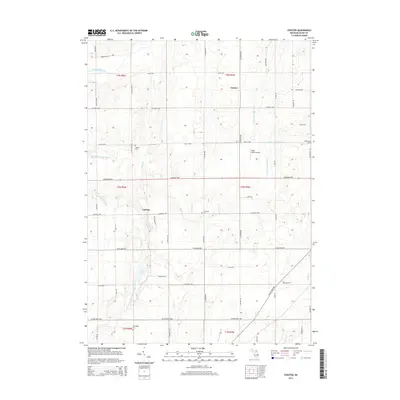
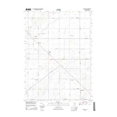
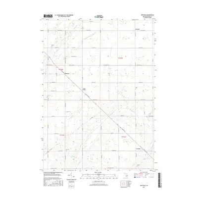
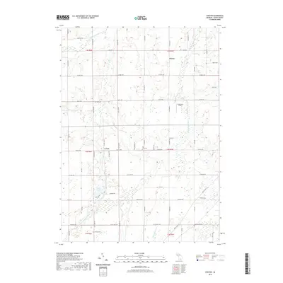
 1980 Chester1981 Print · USGSEaton County's rural townships are shown in the late 1970s, featuring a landscape defined by small farming communities and the winding Thornapple River. Genealogists can trace early local families through landmarks like Millerburg Cem and the West Carmel Ch.2 unique versions available
 - 1983 Map of Lansing, 1984 Print
 1983 Lansing1984 Print · USGSThe Lansing area and its surrounding river valleys are captured here in the early eighties. Genealogists and historians can trace the rail corridors of the Conrail or locate local landmarks like St Johns Ch and Greenwood Cem.
 - 2011 Map of Needmore, 2011 Print
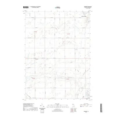
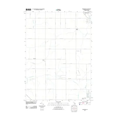 2011 Needmore2011 Print · USGSCovers Chester Township, including Grand Ledge, Potterville, and other nearby areas
 - 2011 Map of Charlotte, 2011 Print
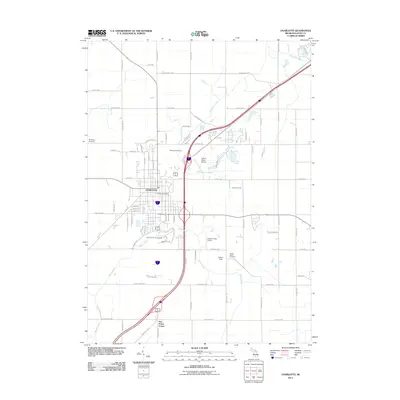 2011 Charlotte2011 Print · USGSCovers Chester Township, including Charlotte, Potterville, and other nearby areas
 - 2011 Map of Hoytville, 2011 Print
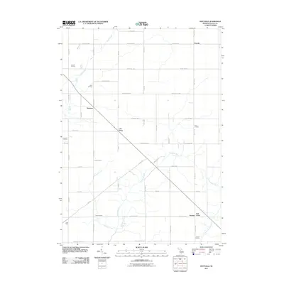 2011 Hoytville2011 Print · USGSCovers Chester Township, including Roxand Township, Shaytown, and other nearby areas
 - 2011 Map of Chester, 2011 Print
 2011 Chester2011 Print · USGSCovers Chester Township, including Chester, Carlisle, and other nearby areas
 - 2014 Map of Chester, 2014 Print
 2014 Chester2014 Print · USGSCovers Chester Township, including Chester, Carlisle, and other nearby areas
 - 2014 Map of Needmore, 2014 Print
 2014 Needmore2014 Print · USGSCovers Chester Township, including Grand Ledge, Potterville, and other nearby areas
 - 2014 Map of Charlotte, 2014 Print
 2014 Charlotte2014 Print · USGSCovers Chester Township, including Charlotte, Potterville, and other nearby areas
 - 2014 Map of Hoytville, 2014 Print
 2014 Hoytville2014 Print · USGSCovers Chester Township, including Roxand Township, Shaytown, and other nearby areas
 - 2017 Map of Hoytville, 2017 Print
 2017 Hoytville2017 Print · USGSCovers Chester Township, including Roxand Township, Shaytown, and other nearby areas
 - 2017 Map of Needmore, 2017 Print
 2017 Needmore2017 Print · USGSCovers Chester Township, including Grand Ledge, Potterville, and other nearby areas
 - 2017 Map of Charlotte, 2017 Print
 2017 Charlotte2017 Print · USGSCovers Chester Township, including Charlotte, Potterville, and other nearby areas
 - 2017 Map of Chester, 2017 Print
 2017 Chester2017 Print · USGSCovers Chester Township, including Chester, Carlisle, and other nearby areas
 - 2019 Map of Charlotte, 2019 Print
 2019 Charlotte2019 Print · USGSCovers Chester Township, including Charlotte, Potterville, and other nearby areas
 - 2019 Map of Hoytville, 2019 Print
 2019 Hoytville2019 Print · USGSCovers Chester Township, including Roxand Township, Shaytown, and other nearby areas
 - 2019 Map of Chester, 2019 Print
 2019 Chester2019 Print · USGSCovers Chester Township, including Chester, Carlisle, and other nearby areas
 - 2019 Map of Needmore, 2019 Print
 2019 Needmore2019 Print · USGSCovers Chester Township, including Grand Ledge, Potterville, and other nearby areas
Showing maps 1-25 of 29
Top cities near Chester Township
- Lansing historical maps
- Charlotte historical maps
- Grand Ledge historical maps
- Eaton Rapids historical maps
- Portland historical maps
- Potterville historical maps
See more
Top neighborhoods of Chester Township
Frequently asked questions
- What are the different types of historical maps available for Chester Township?
- What is the oldest map of Chester Township?
- Where can I purchase historical maps of Chester Township for my home or office?
- Where can I download high-res historical maps of Chester Township?
- Are there historical topographic maps available for Chester Township?
- Is there historical aerial imagery available for Chester Township?
- Where are historical maps of Chester Township sourced from?